
A beautiful trail high above the timber line, spectacular views over the Saas Valley in Switzerland, this is the “Almageller Höhenweg”. The Saas Valley is located in the Canton Wallis in Switzerland, on the border to Italy.
Part of the hike is not for faint-hearted, but very spectacular.
Route
From Saas-Grund with the cable car up to Kreuzboden, then follow the trail 159 (Allmageller High-Altitude Trail) to the south, down to the Almagelleralp, then down to Saas Almagell. From there take the bus or follow the Suonen-Trail to Saas-Grund.
The hike can be done in two parts:
Kreuzboden to Saas-Almagell: 3.5 h (without breaks), 11 km, ascent 300 m, descent 1050 m, level: medium to difficult.
Saas-Almagell to Saas-Grund: 1.5 h (without breaks), 6 km, ascent 180 m, descent 310 m, level: easy
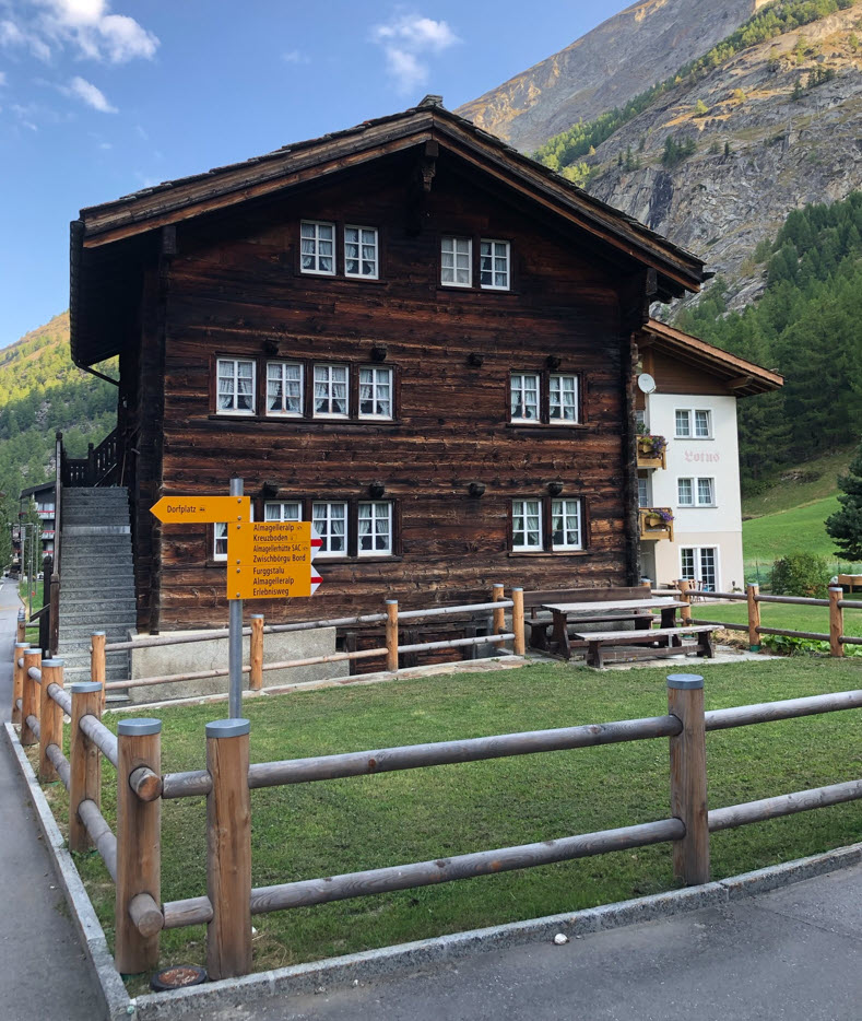
There is a car parking near the ground station of the cable car up to Kreuzboden, otherwise public transportation can be used between Saas-Almagell and Saas-Grund.
Kreuzboden to Saas-Almagell
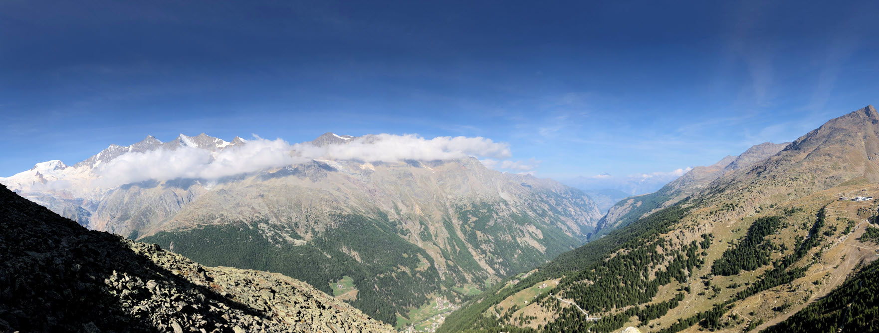
Taking the gondola up to Kreuzboden gets you an easy start. Below is the the view back to the station on Kreuzboden:
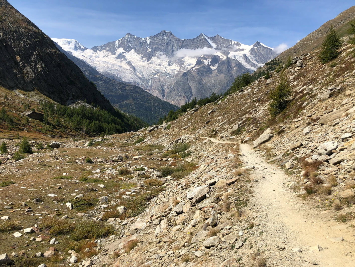
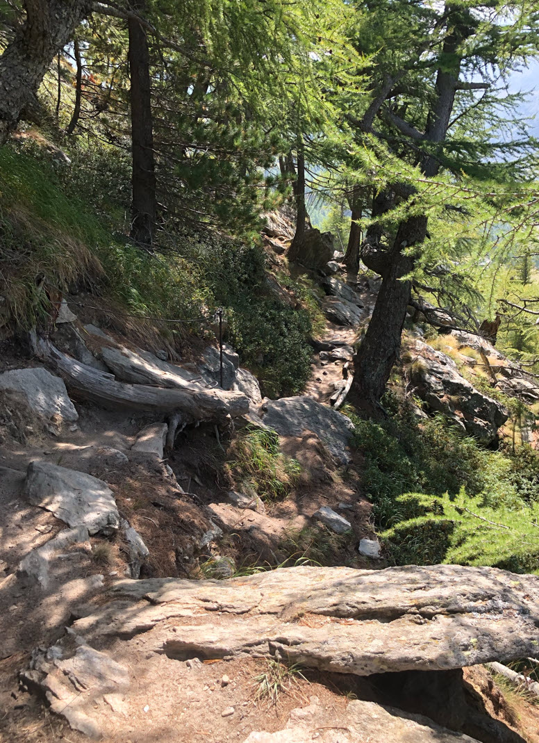
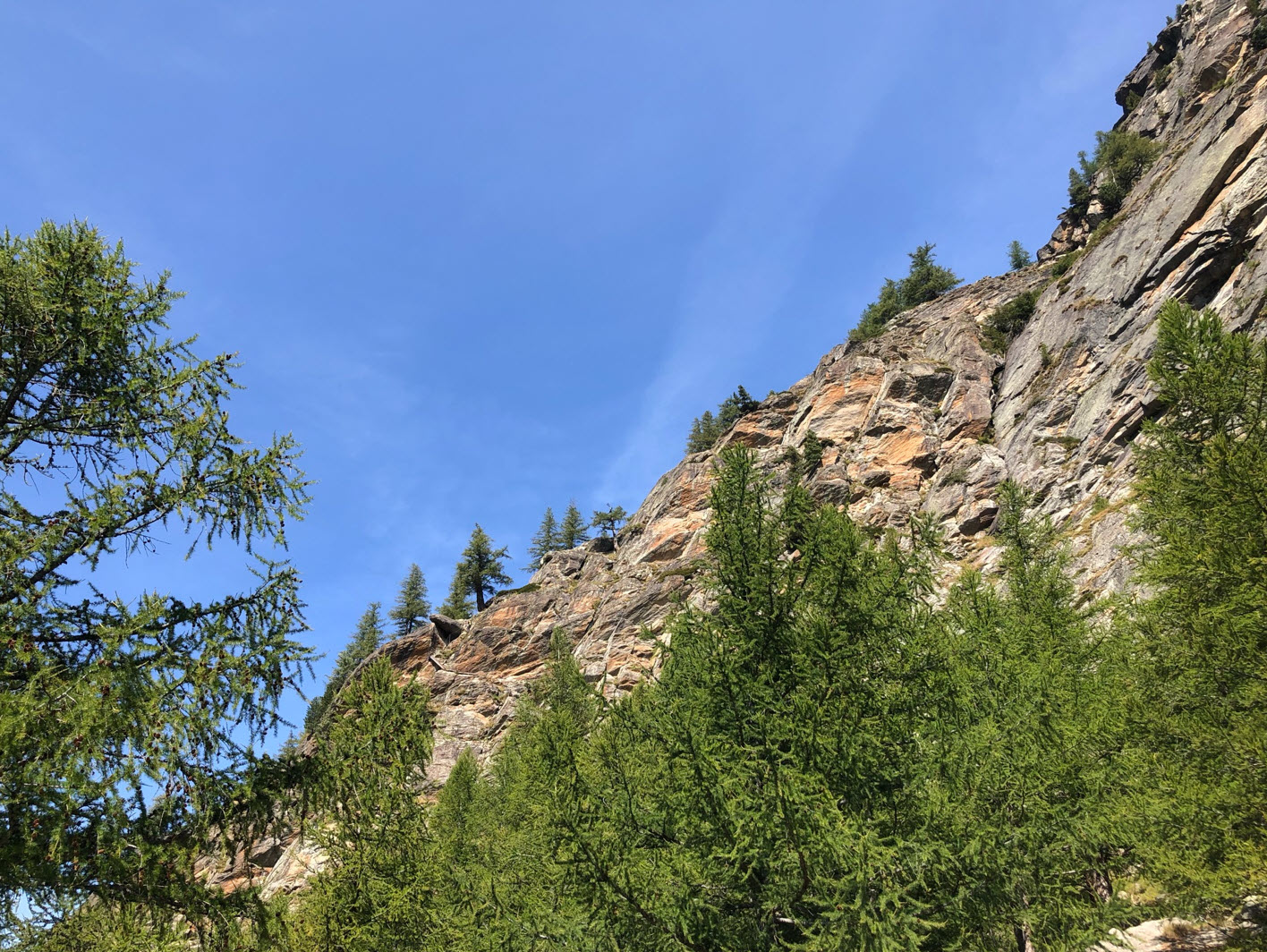
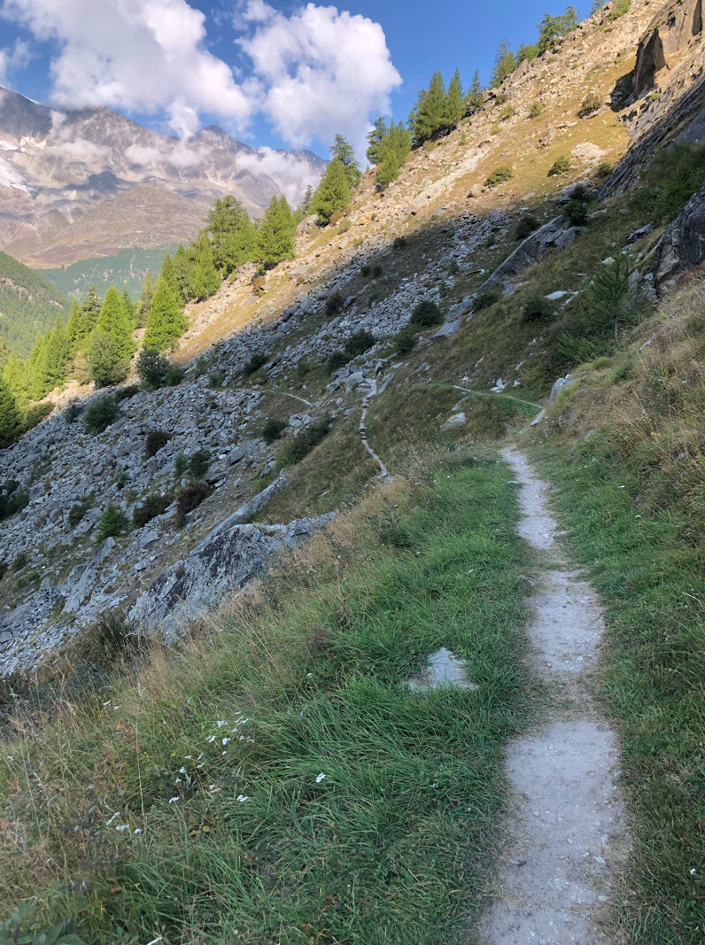
The trail goes high above the trees.
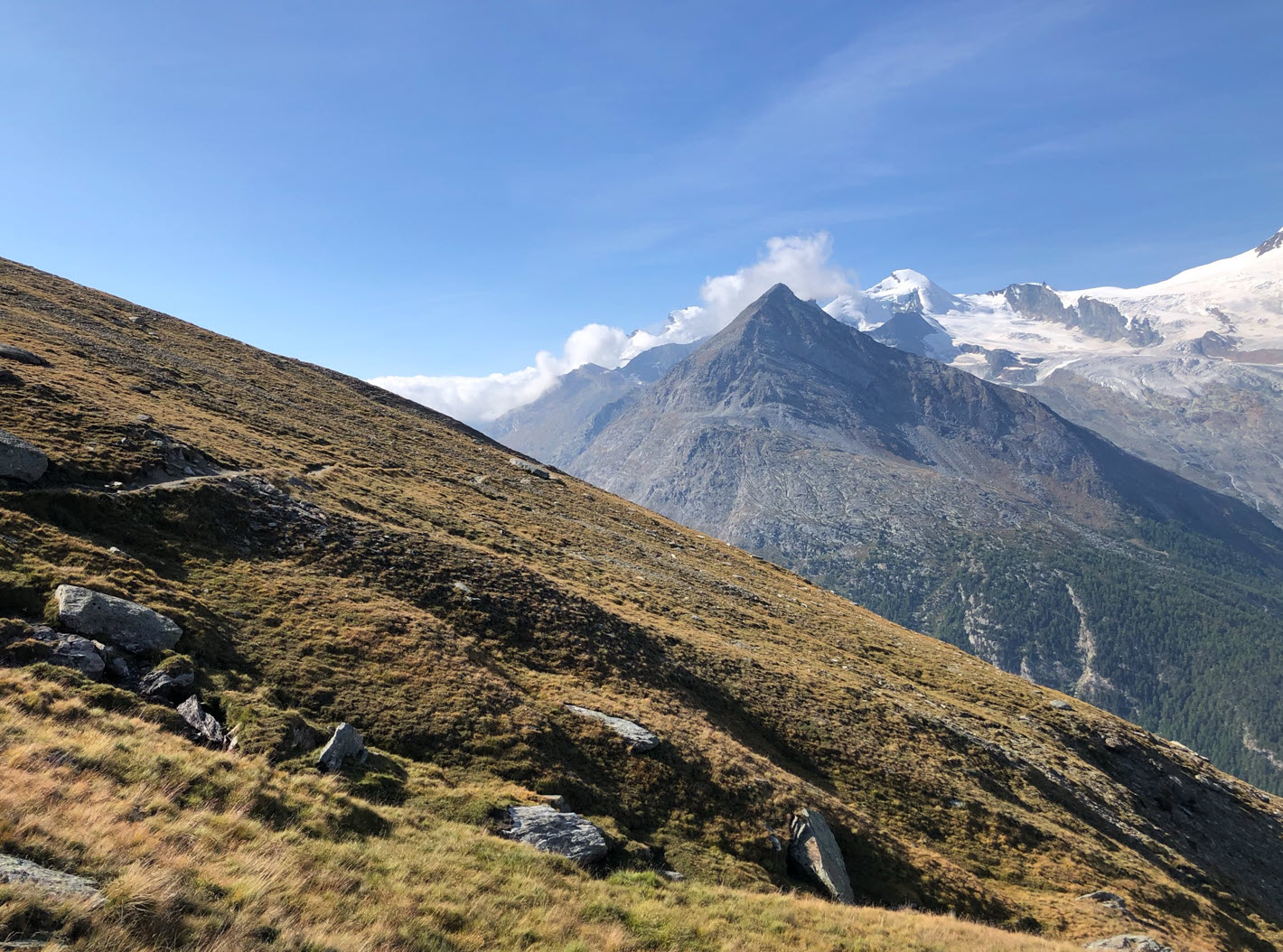
The trail is very well prepared and the same time hiding very well, with stunning views to the glaciers.
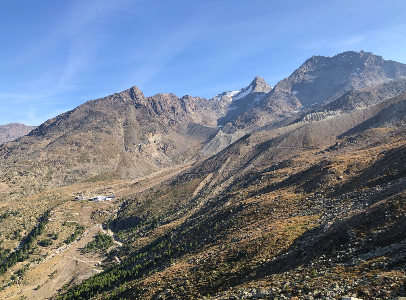
View to Saas-Fee on the other side of the valley:

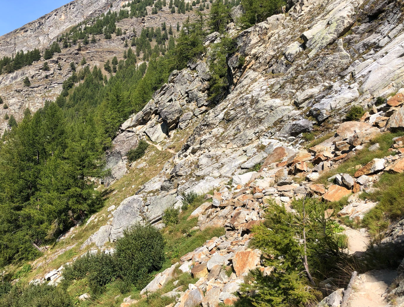
Part of the trail goes through an impressive avalanche barriers area.
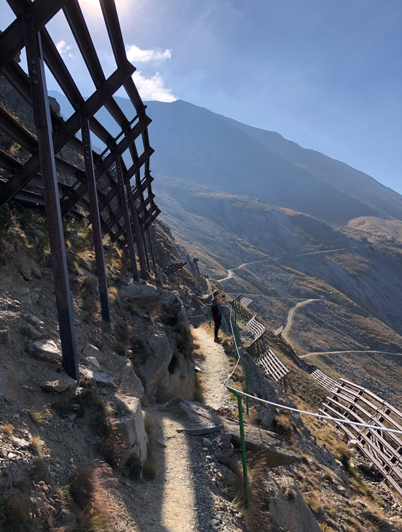

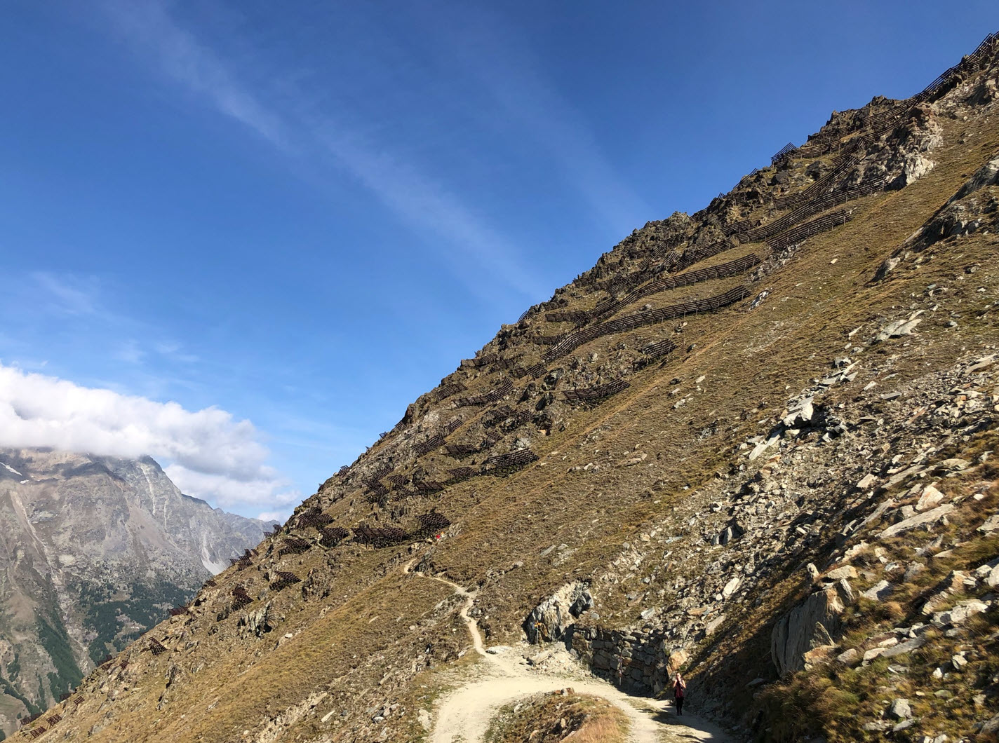
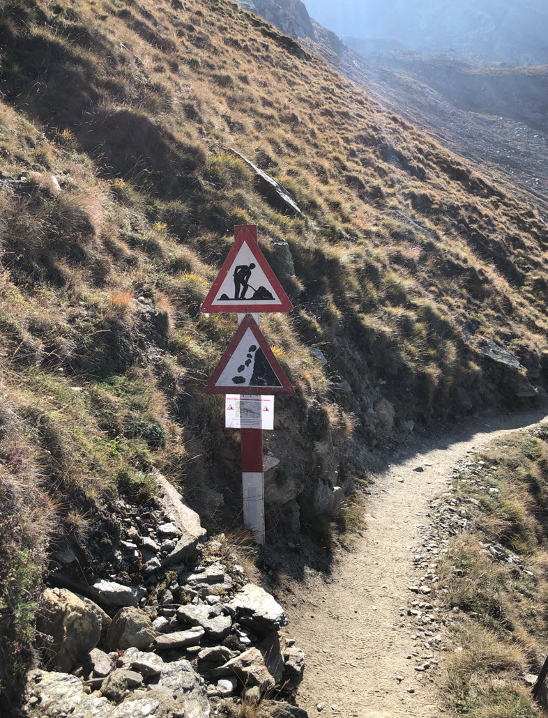
Rockfall warning signs advise you not to rest in that area which follows:
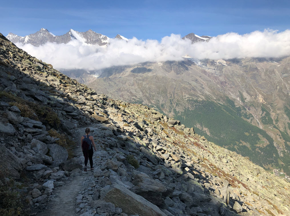
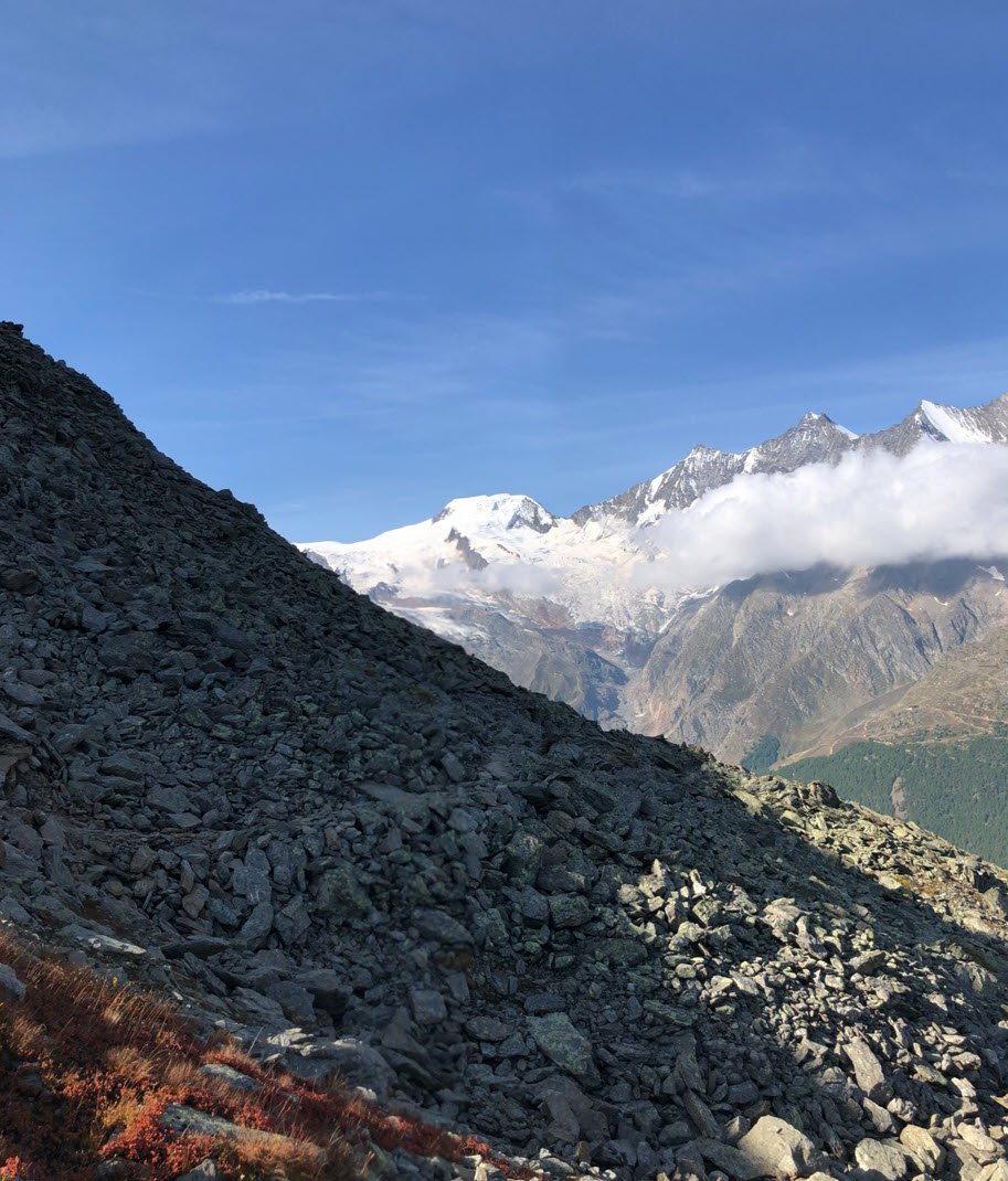
After that, the landscape changes again. Below the view along the trail to the Mittagshorn (3143 m).
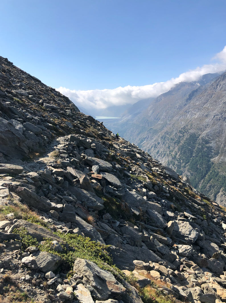
Below the view to the south, with the Mattmark Lake in the background.

The Mattmark Lake with its dam has a water volume of up to 10.5 Mio cubic meters. Just behind it there is the border to Italy, dividing North and South, marked by the clouds too: Air is pushed north and condensates as clouds, but the air gets clear as soon as the air is going down into the valley.

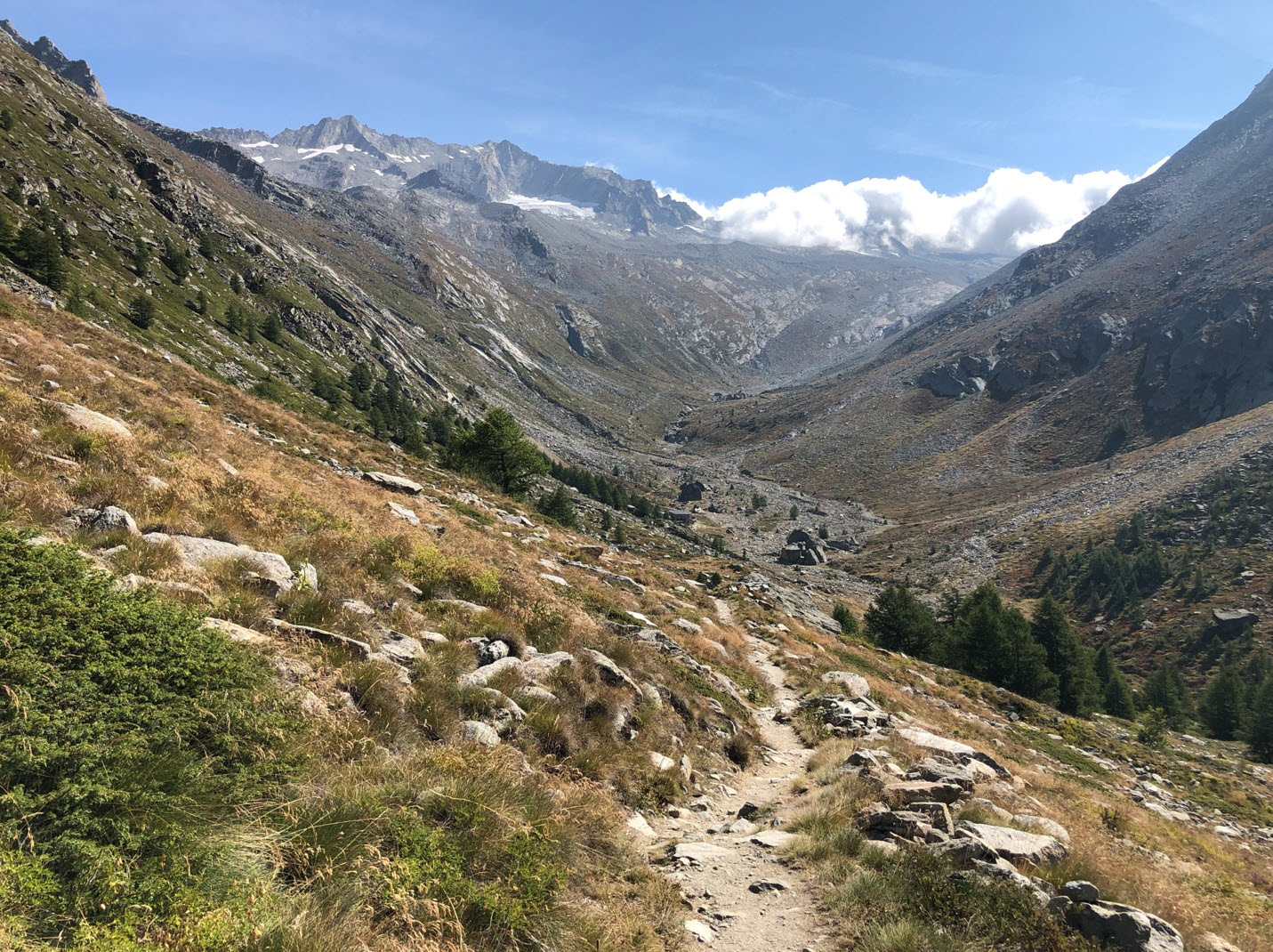
Then the trail descents to the Almageller Alp, with the Pizzo d’Andolla (3654) in the backgrond:

Here again, clouds mark the alpine border to Italy:
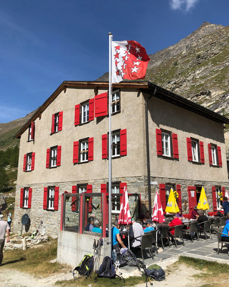
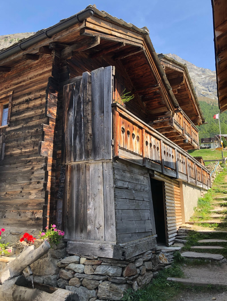
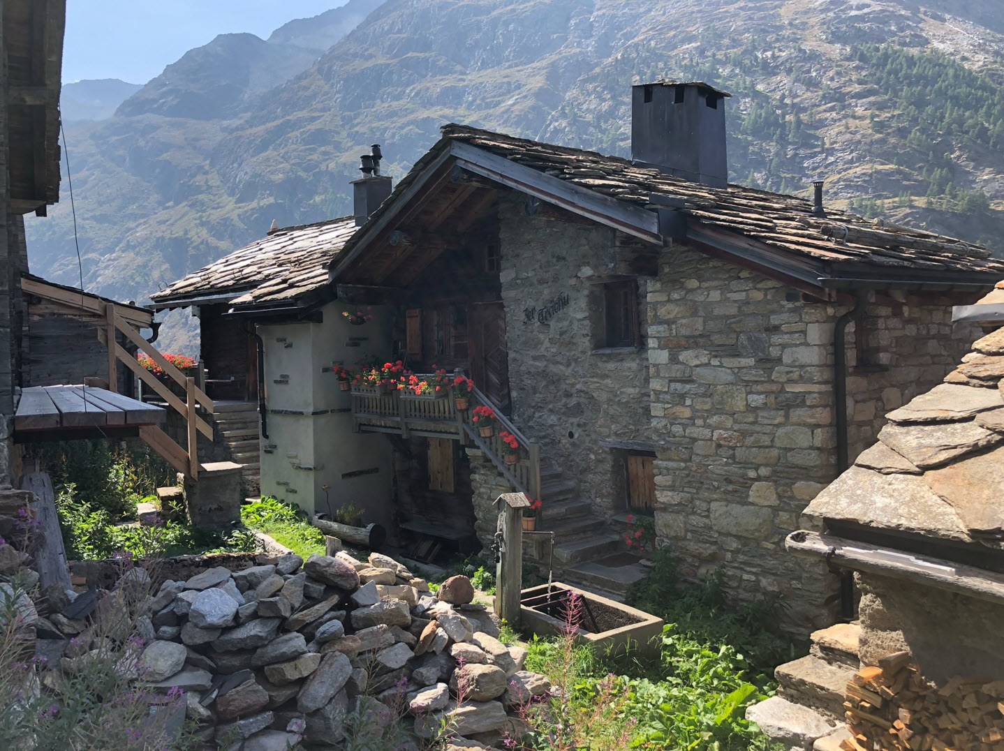
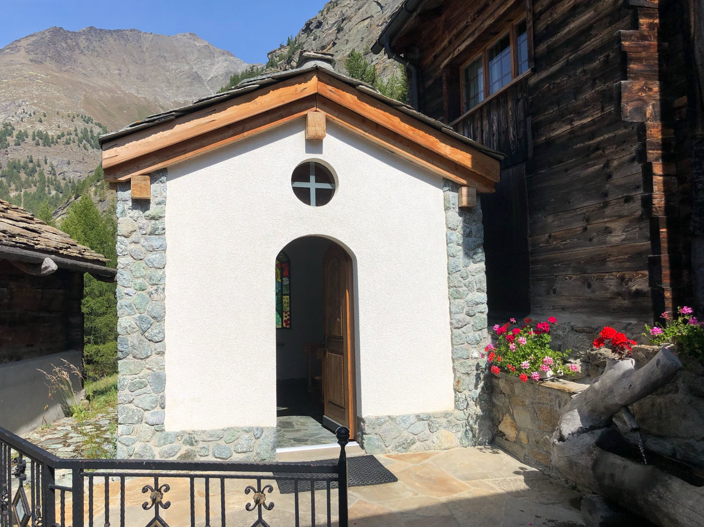
Down in the valley is a restaurant and mountain hotel, a perfect place to rest or start the day to the surrounding peaks and alpine huts:
After an espresso (or two), follow the trail down the valley to Saas-Alamagell:
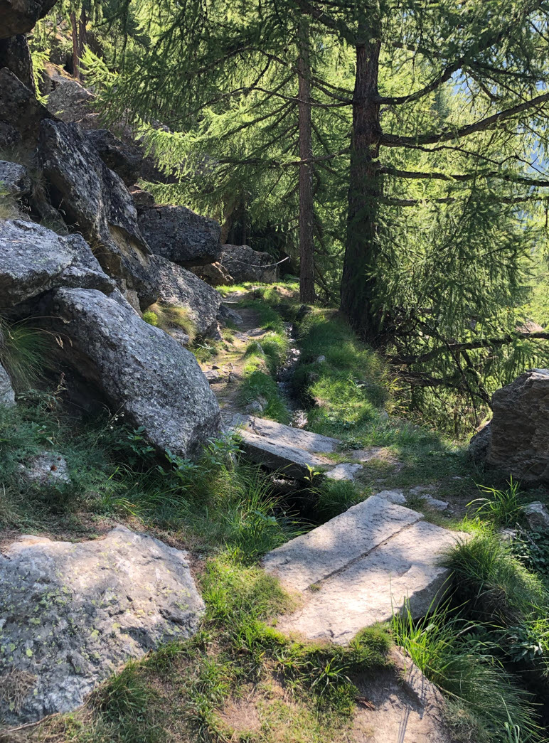
With going to the lower areas, trees start to appear again:
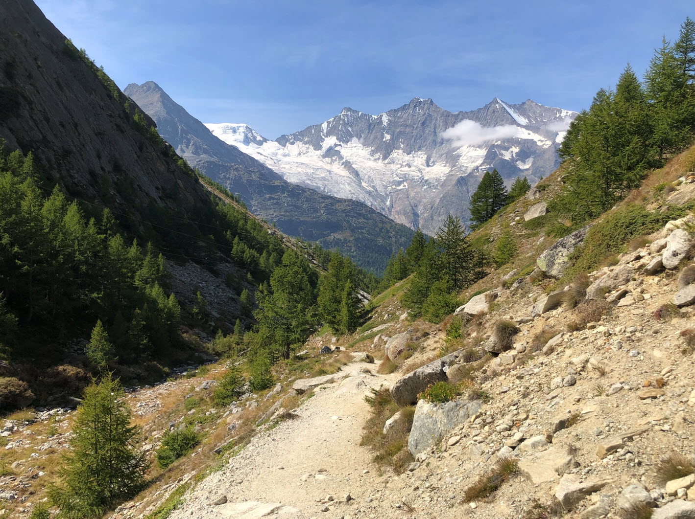
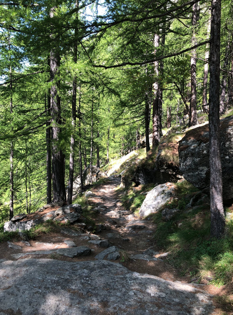
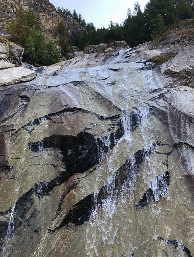
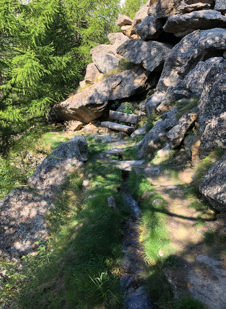
What follows is a wonderful and mystic forest with beautiful granite boulders:
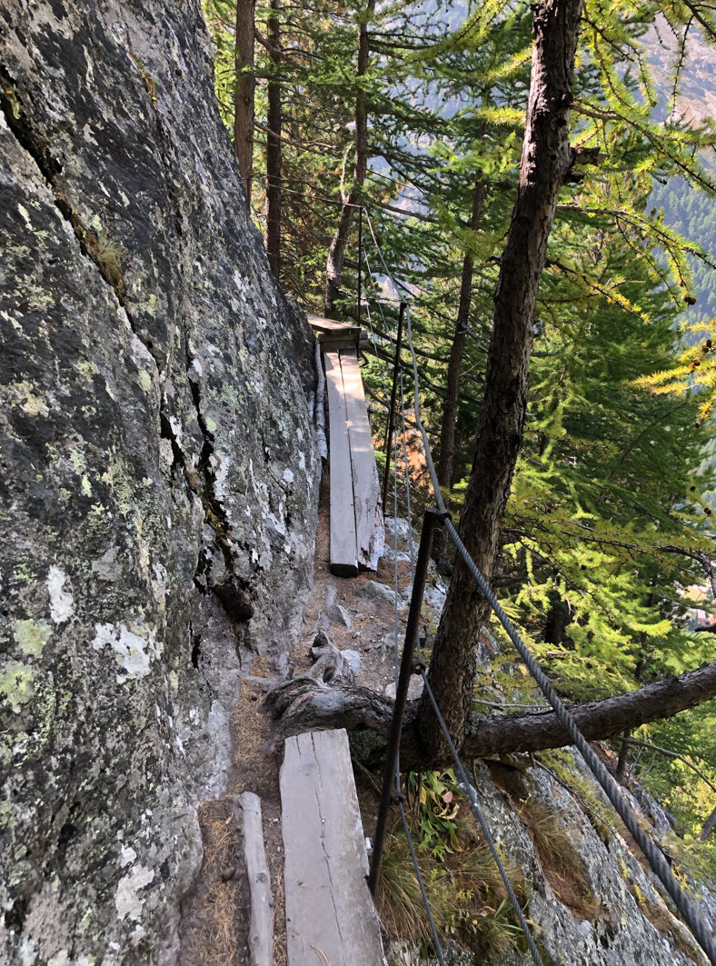
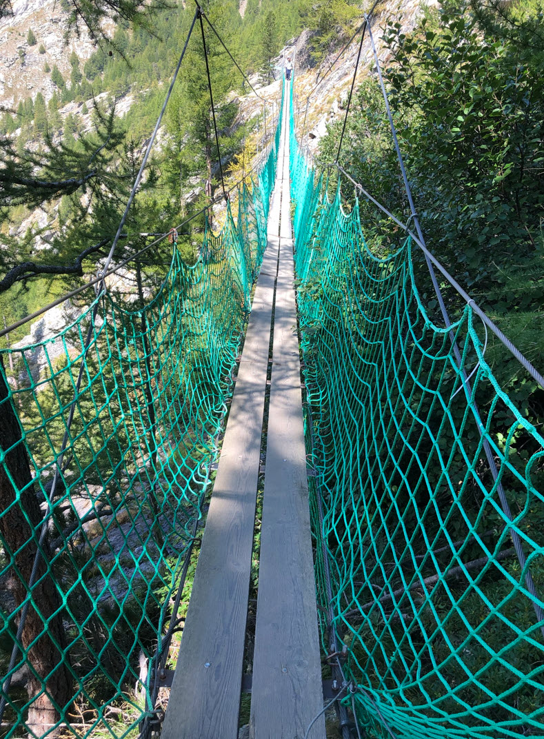
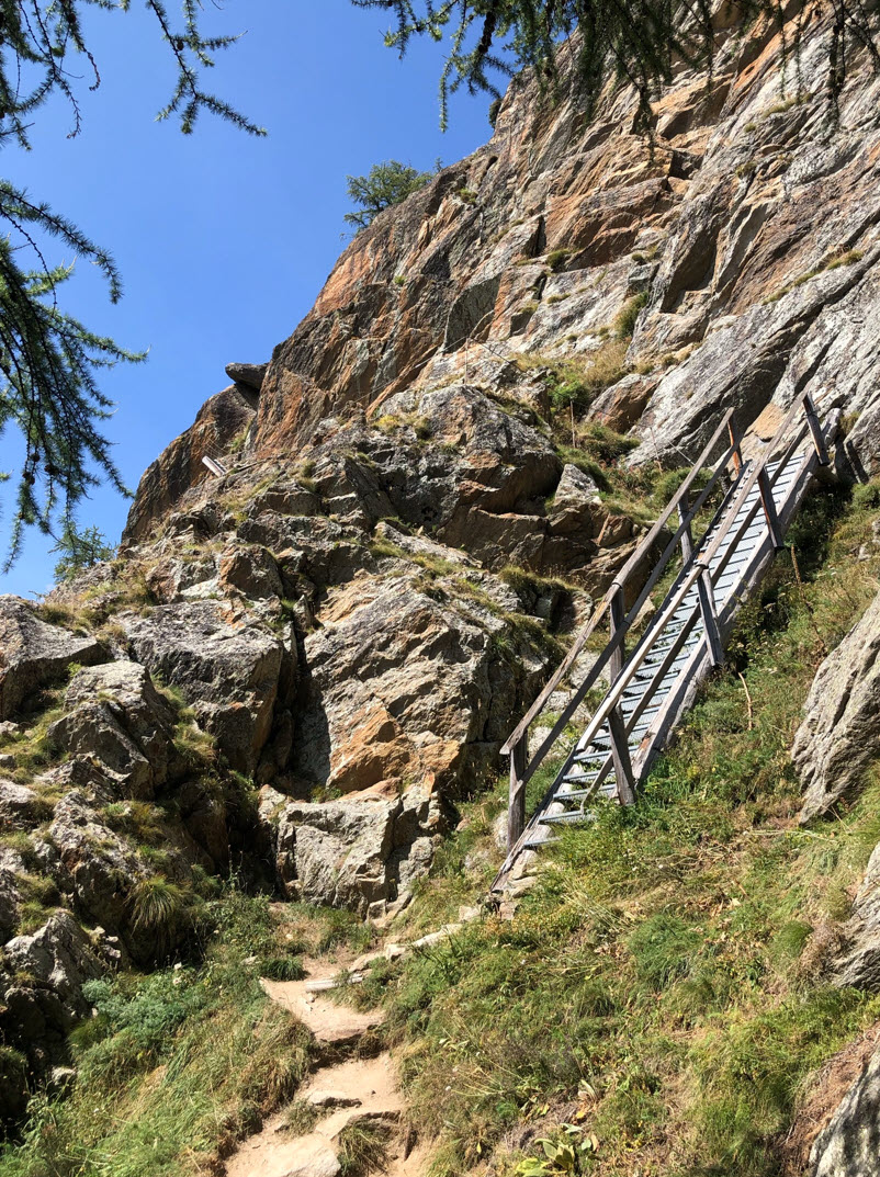
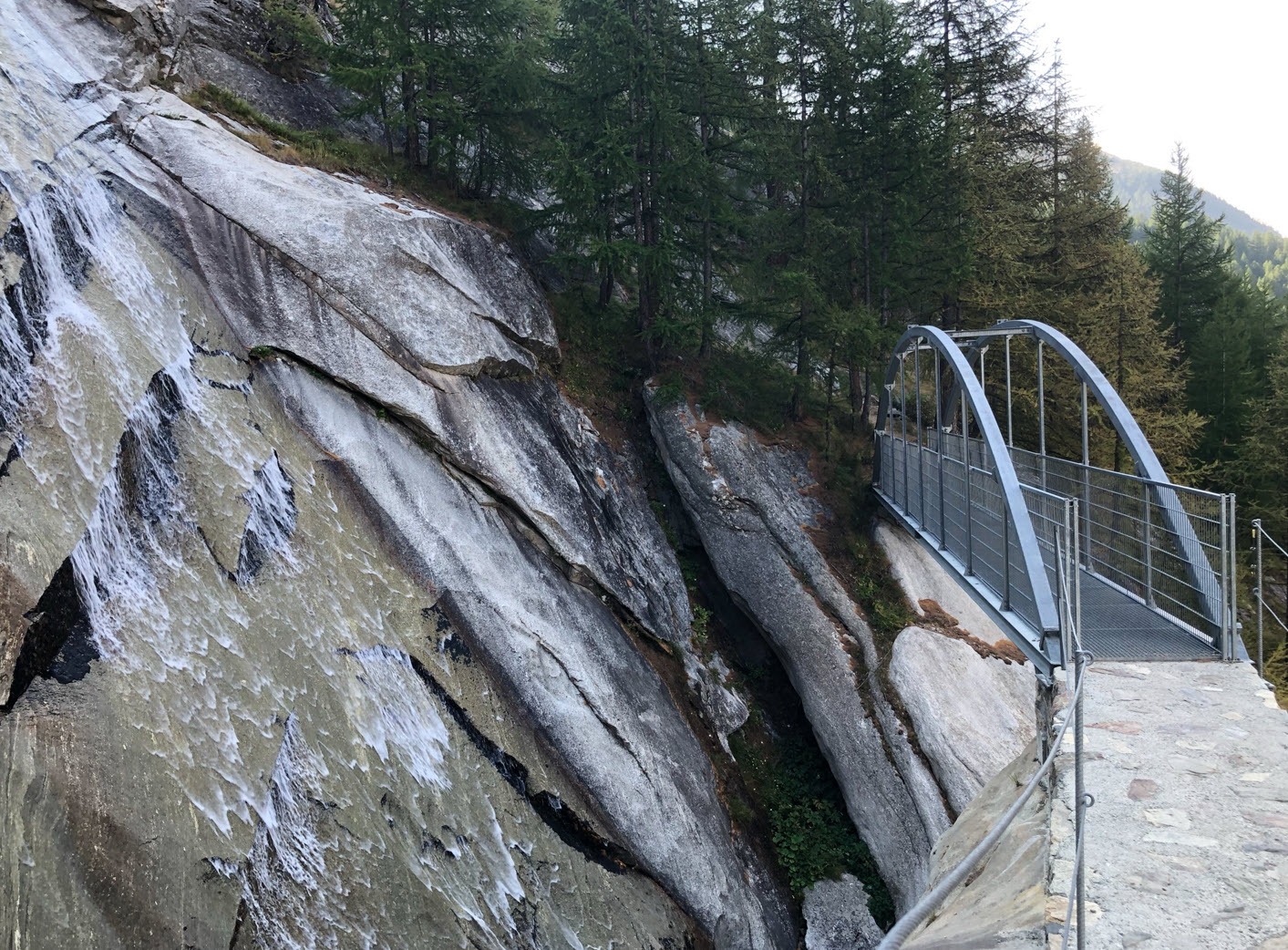
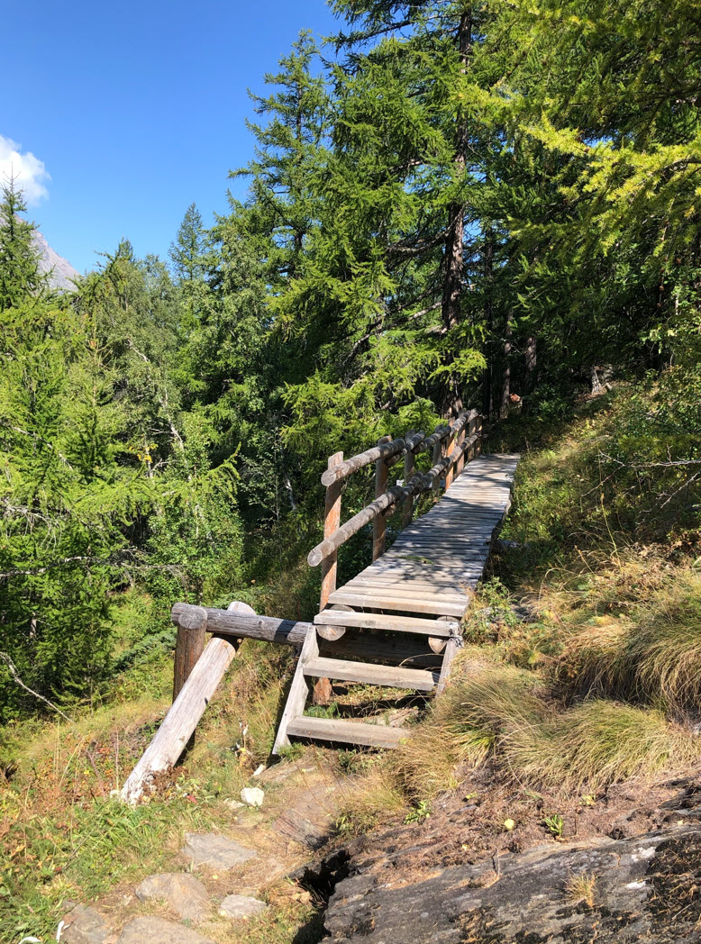
There is a route straight down Saas-Almagell. We decided to go the left to Furgstalden first. Be warned that the trail to Furgstalden is definitely not for faint-hearted hikers! The trail is safe from a technical sense, but if you are affraid of height this is definitely not something for you.
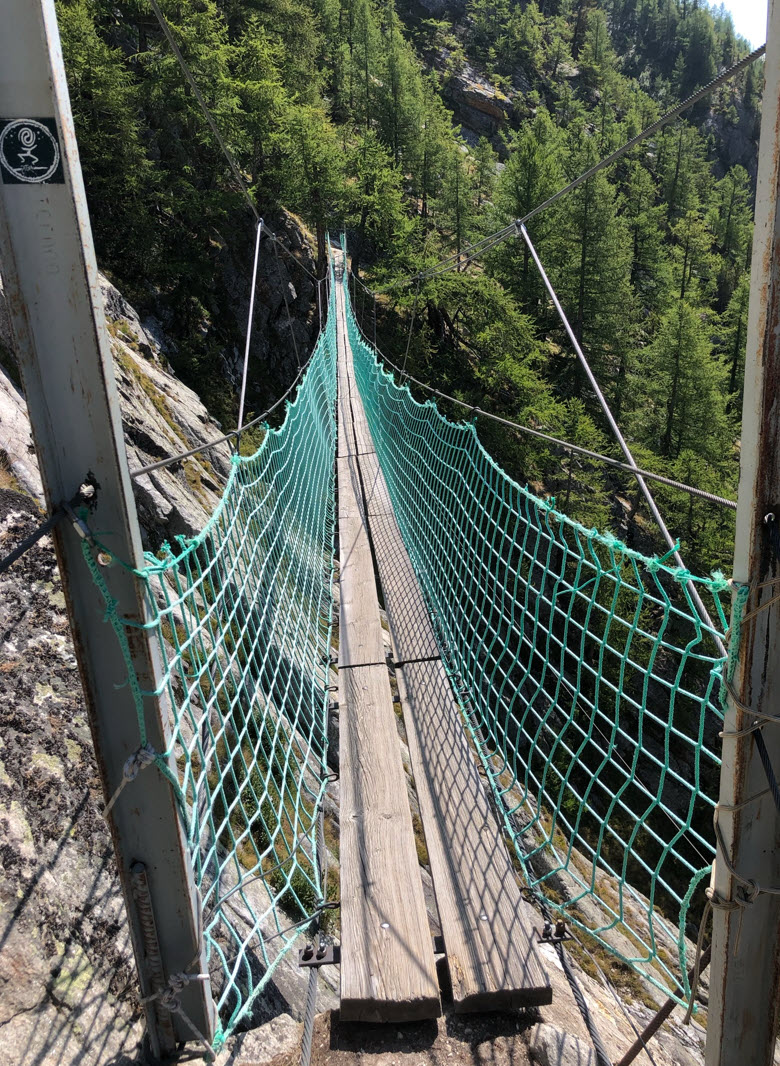
The trail goes over two narrow and high bridges:
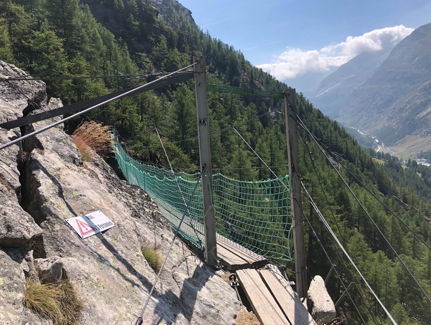
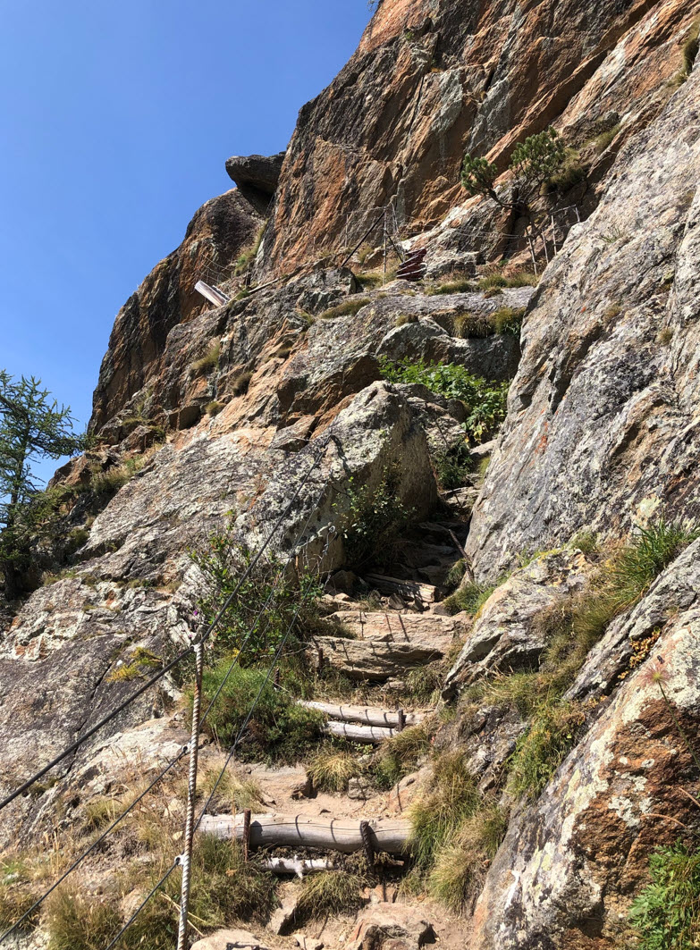
Where possible, the trail is secured with ropes.

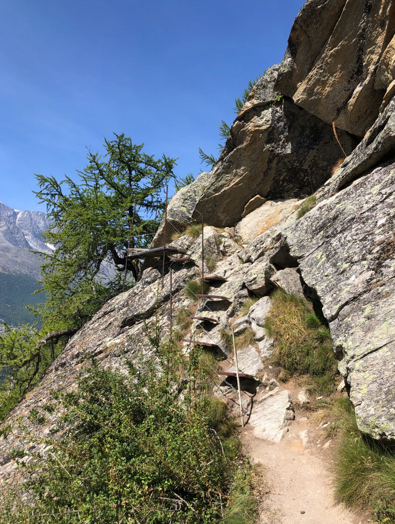
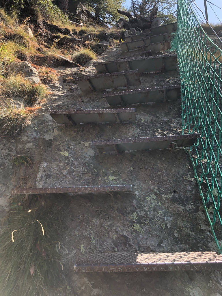
Iron steps are installed to make traversing the rocks easier.
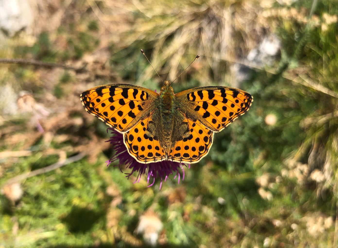
Because that trail is not for everyone, there is plenty of natural beauty up there.
Some parts of the trail as the ‘Spissgrabe’ part are less exposed than others.
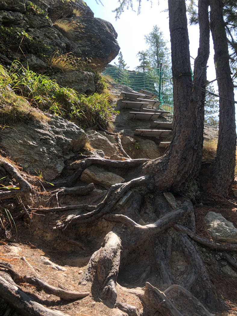
Feels like a stairway to heaven:
Actually it is up to the second bridge 😉
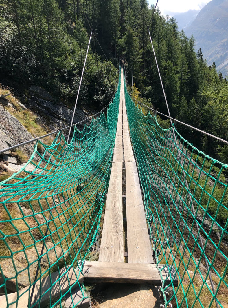
“Between two bridges, there is always one bridge to cross.” How true this is. The only way out is to cross another bridge.
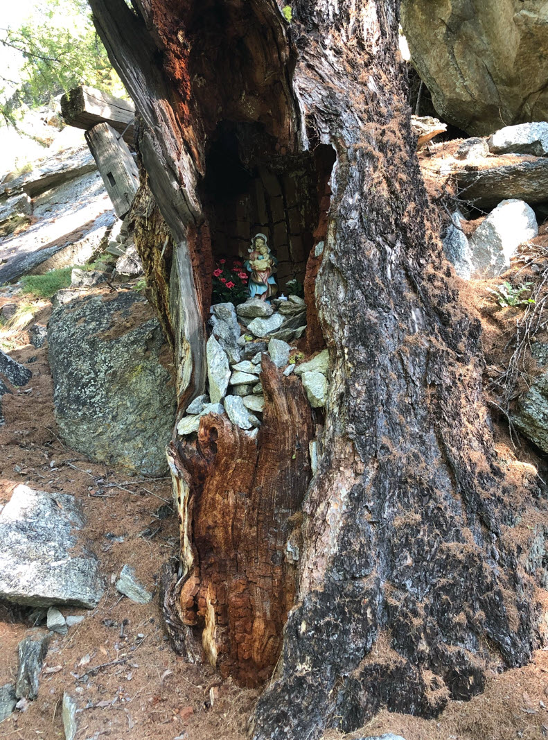
What follows is the ‘Hohlerch’ part with lots of beautiful rocks and bizarre trees.


After that cross, be prepared for a steep down going trail to the Furggstalden village. We met a couple which decided at this point not to proceed and to return.

The trail goes down, with ropes on the side. Definitely not something for everyone.

Finally, made it down to safe ground, looking back:
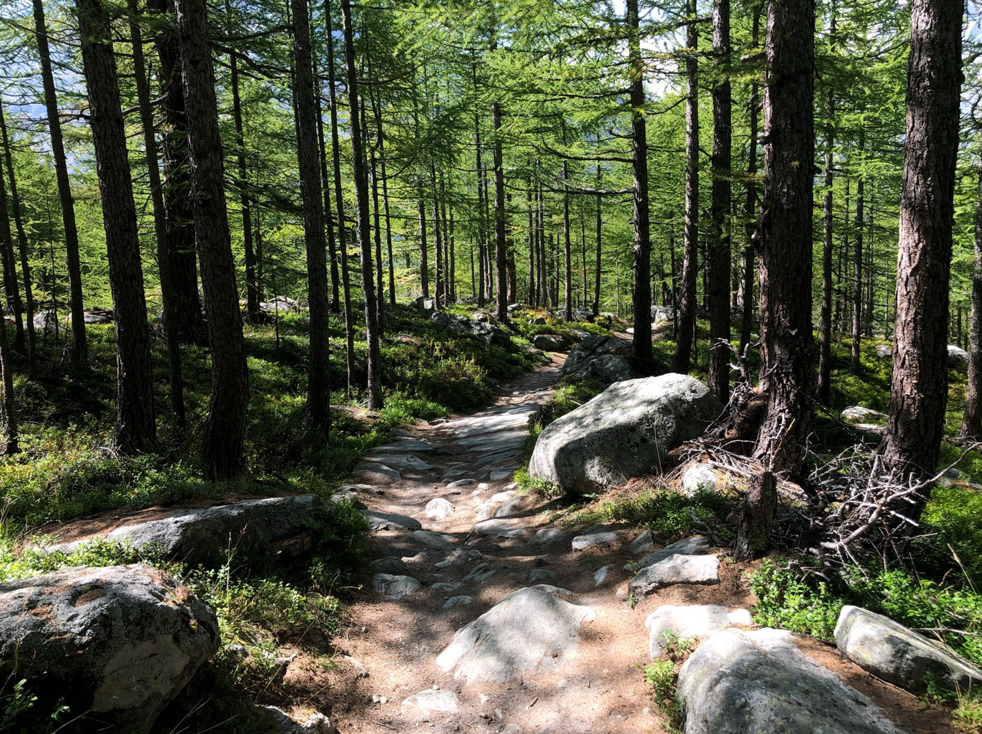
The trail down from Furggstalden to Saas-Almagell is an easy one.
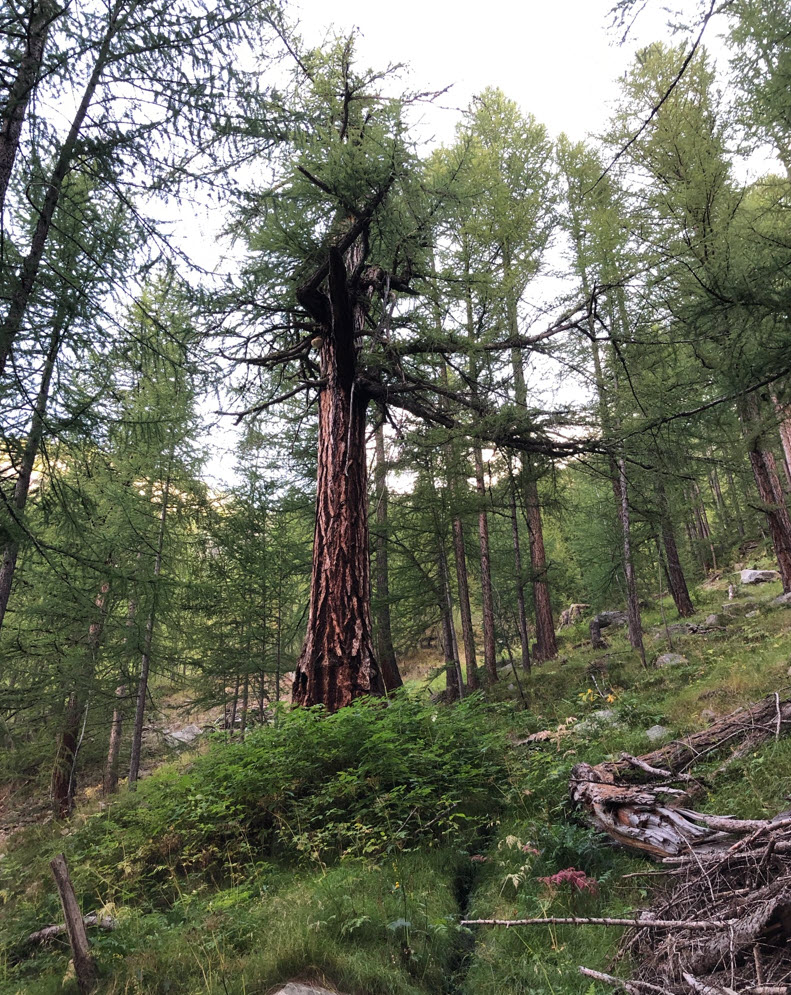
The trail goes through a beautiful alpine forest with Arven trees. They grow very slowly and reach an age up to 1000 years.
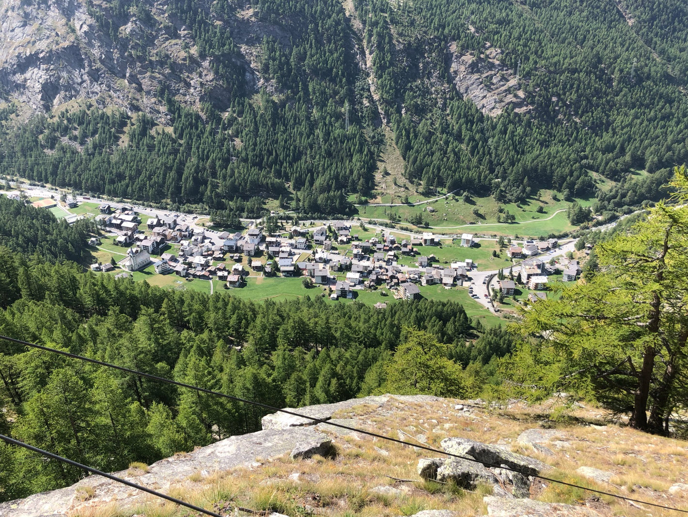
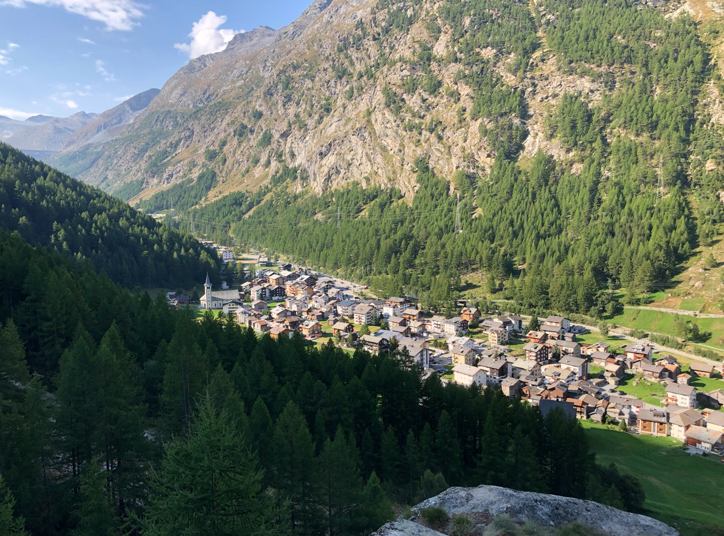
Reaching Saas-Almagell:


Down in Saas-Almagell, one could take the bus back to Saas-Grund.
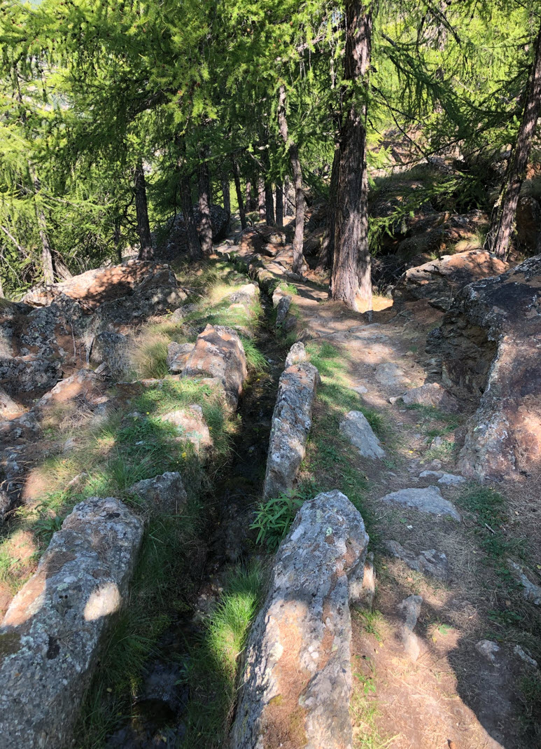
Saas-Almagell to Saas-Grund (Suonen Trail)
Or what I recommend: follow the ‘Suonen’ trail back to Saas-Grund.


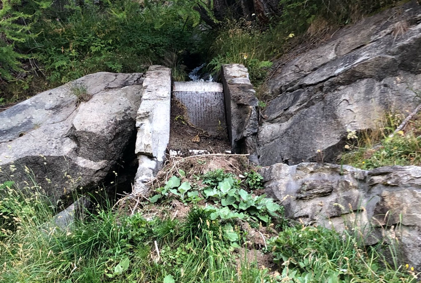
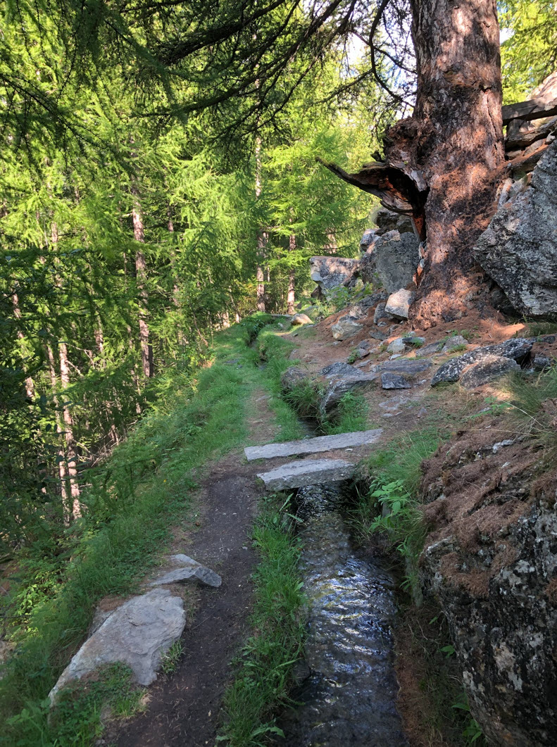
The trail follows century-old ‘Suonen‘: an irrigation system which distributes the water from the higher areas into the valleys.

The channels follow the side of the valley with impressive old Arven trees.
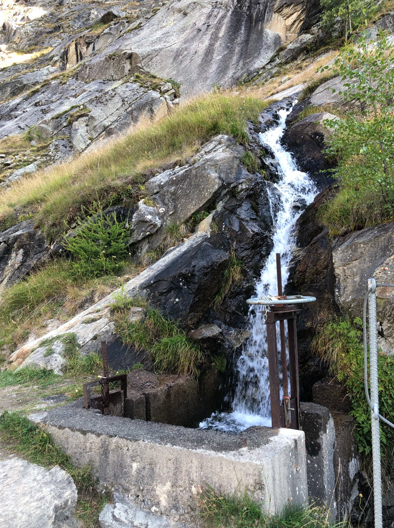
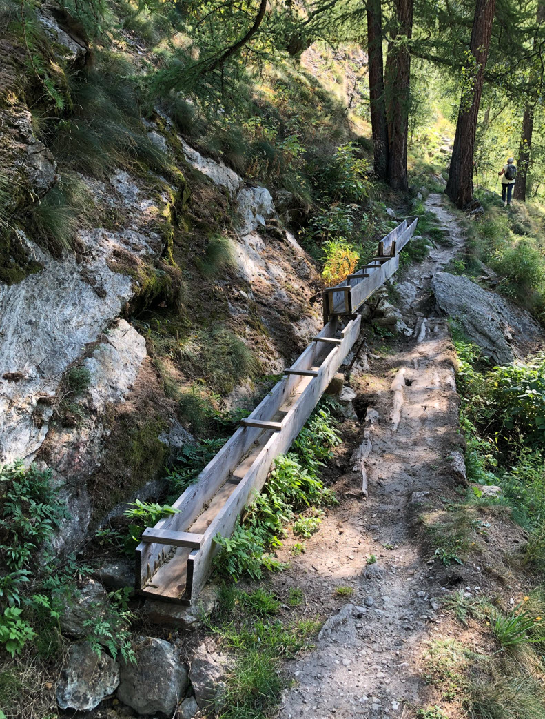
Special distribution points divert the water for irrigation:
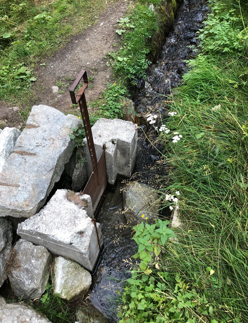
Water from the side creeks gets collected and then distributed. Because the Arven trees drop the needles during wintertime, there are special ‘cleaning’ stages built in removing the needles.

Because the trail follows (mostly) the water, it is a very easy hike.


View down to Saas-Almagell:

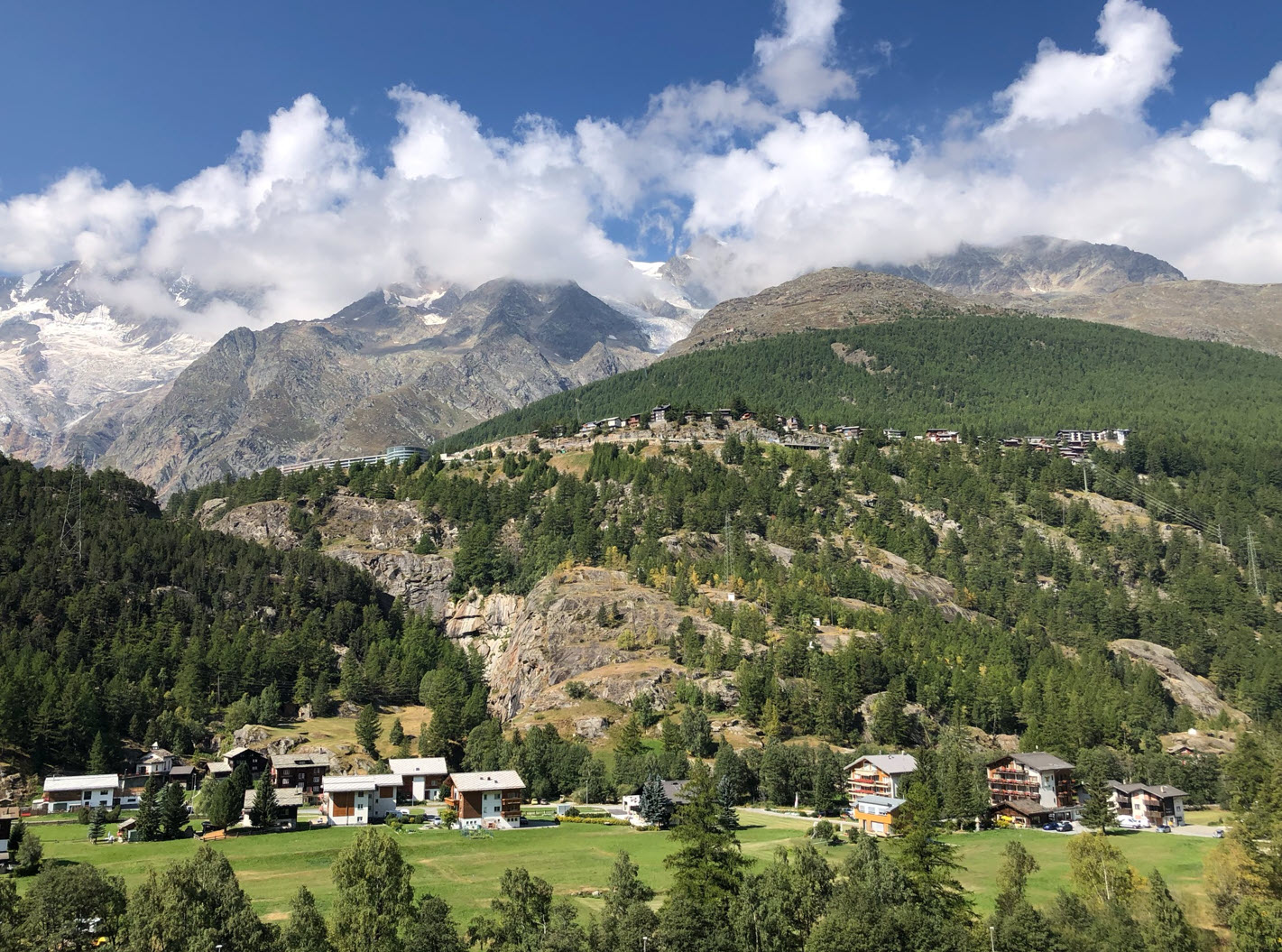
Getting closer to Saas-Grund below Saas-Fee:

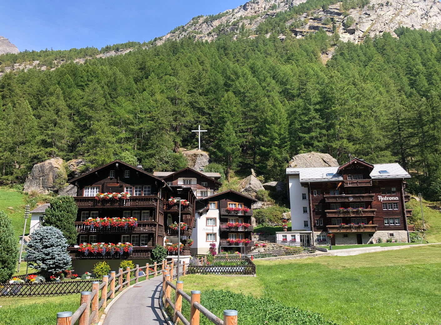
Reaching Saas-Grund which has been our starting point:

I hope you enjoyed that virtual tour high above and down the Saas valley!
Happy Almagelling 🙂

Oh man, you are very very blessed to live near such amazing trails and mountains. It’s a hiker/runners dream. Enjoy and stay safe!!
LikeLiked by 1 person
Yes, indeed. The Saas valley is less accessible for me during Winter time because of the closed pass roads. There is a road vehicle loading on trains possibility, but usually long waiting time during winter. During summer there is skiing possible on top of the glaciers, but not sure how long this will last with the ice melting more every year. In summer time it is definitely a hiker dream.
LikeLike
Thank you!
LikeLiked by 1 person
I hope you enjoyed the virtual tour!
LikeLike
Amazing :-)))
LikeLiked by 1 person
And the two bridges were *very* shaky, but an amazing experience :-)))
LikeLike
Erich, I loved the mountain and valley views. There is something very refreshing about the mountains and the accomplishment of climbing them. I love to hike the national parks in the US. Perhaps it comes from my Swiss heritage. Please tell me what is the really cool looking red and white flag with stars on it at the valley restaurant and motel?
LikeLiked by 1 person
Hi Kevin,
glad to hear to love the mountains and views as I do. That flag is the flag of the Canton of Wallis (https://en.wikipedia.org/wiki/Valais): each Canton has its own flag, see https://en.wikipedia.org/wiki/Flags_and_arms_of_cantons_of_Switzerland
LikeLike
Hi Kevin,
just one more (minor) thing: it is not really a Motel (Motor Hotel) as you cannot drive up there. It is a ‘mountain hotel’, see https://www.almagelleralp.ch/ (sorry, only in German).
LikeLike
It was really nice to see so many photos! Thanks a lot. :o)
LikeLiked by 1 person
I captured many more photos, so this is just a selection (kind ‘best of’) 🙂
LikeLike
just spectacular
I live on a mountain, so I too love the mountain life style. But those are a whole other level. Might have to plan a trip.
LikeLiked by 1 person
Yes, it is very special and still close to the cities around it, in the heart of the Alps.
LikeLike