
It is summer time in Switzerland, and the best time of the year to hike in the Alps and mountains. This time I’ll share with you our journey around the Glattalpsee (Lake Glattalp). Expect stunning views of Swiss mountains, flora, fauna and curious critters:
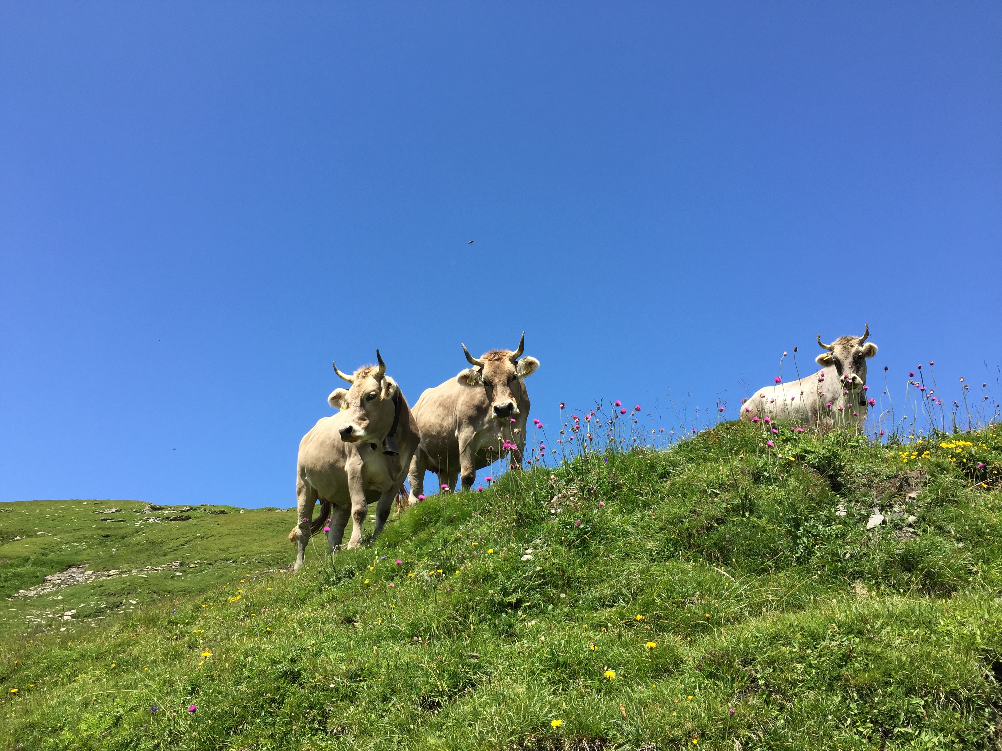
Kühe auf Glattalp
The map below shows our tour: Taking the gondola from the Sali up to the Glattalphütte, hiking up to the Grossbodenkreuz and Pass, finding a way along the Glattalpfirst, then down to the Glattalpsee, strolling around the lake and then back to the gondola station and down back to Sali. Duration around 4-5 hours.
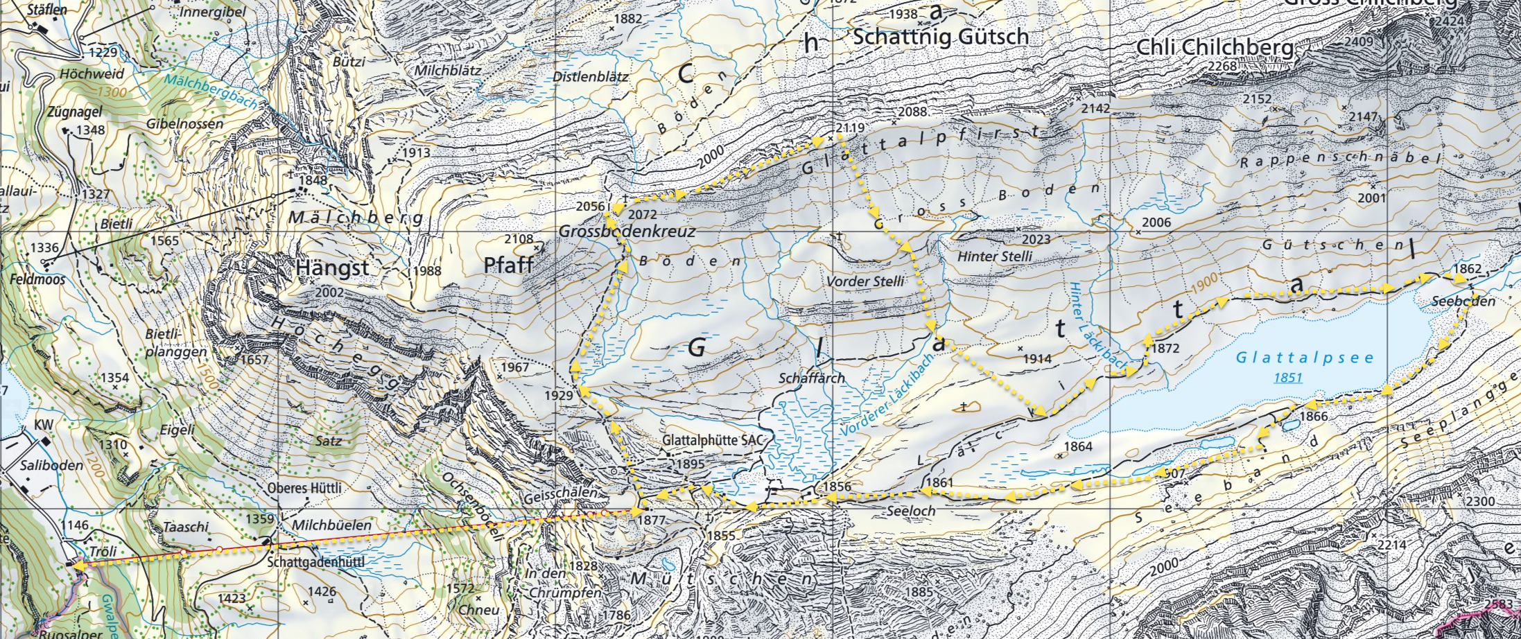
Glattalp Map (click to enlarge)
The Glattalp is one of the coldest places in Switzerland (usually below -30°C, with a record of -52.5°C in 1991). The lake is used for electricity production, and the small gondola up to the lake is operated by the electricity company and open to the public (but expect long waiting time, as there is only one small gondola).
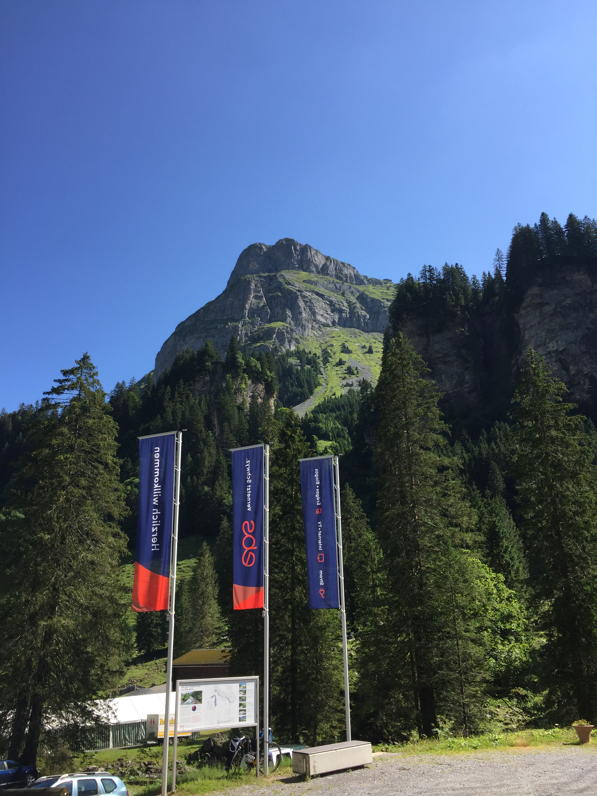
Starting point in Sali
The gondola with space for up to 8 passengers:
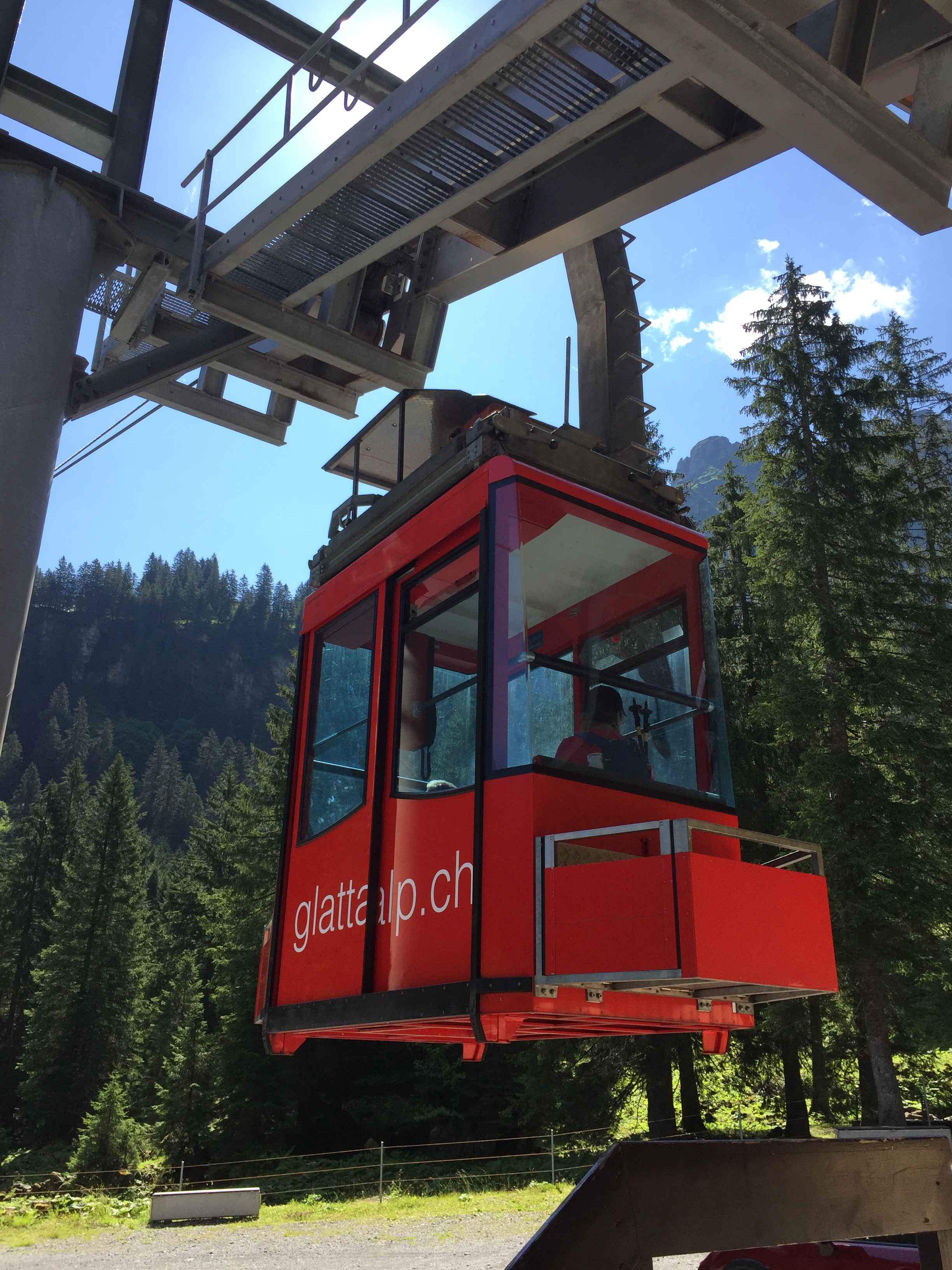
The Gondola
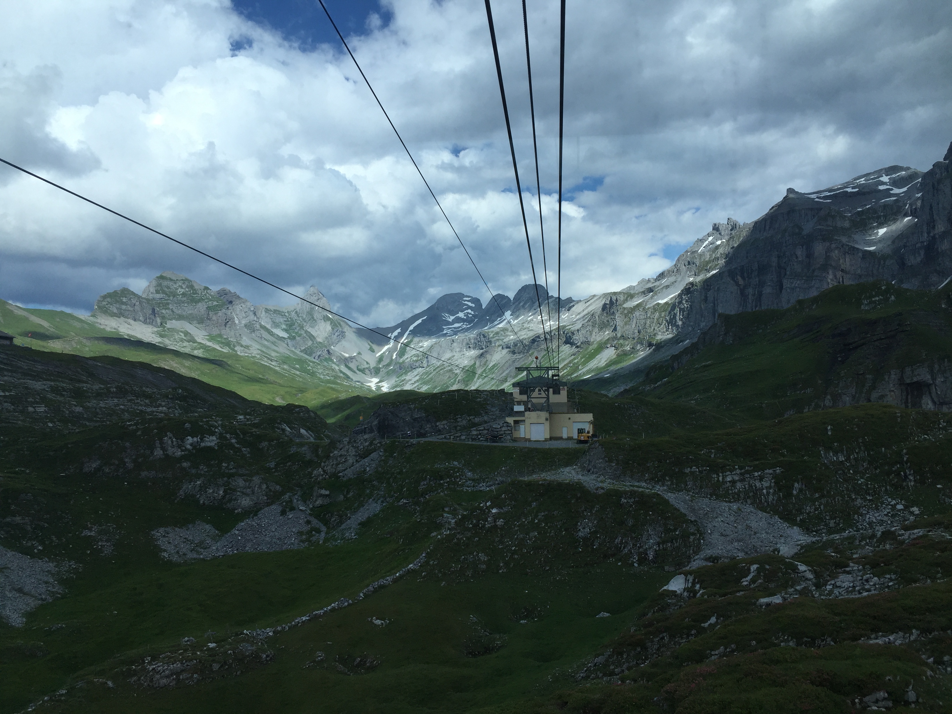
The gondola will take us 700 meter up there:
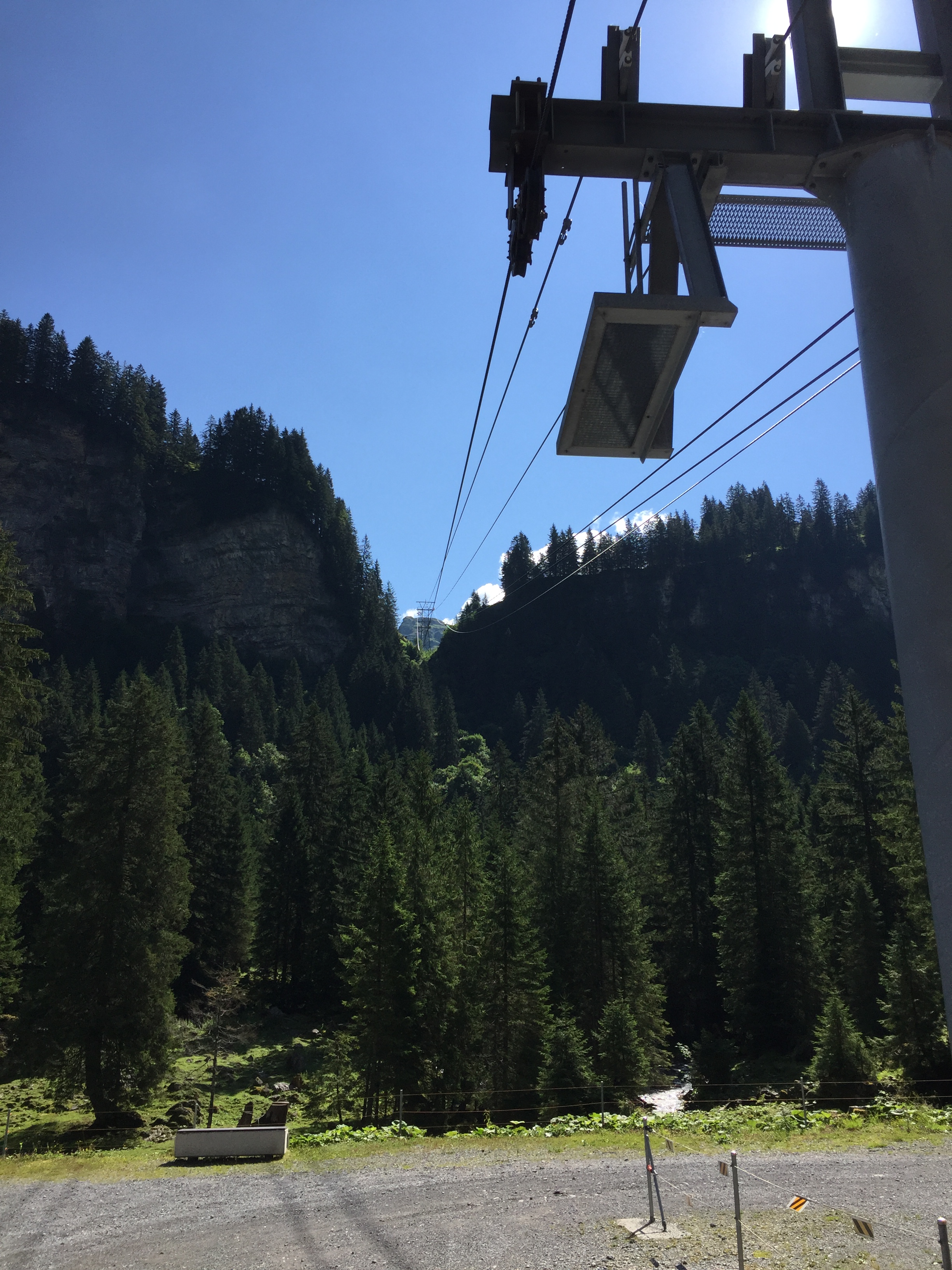
The cables up to the Glattalp
View back to the Sali lake:
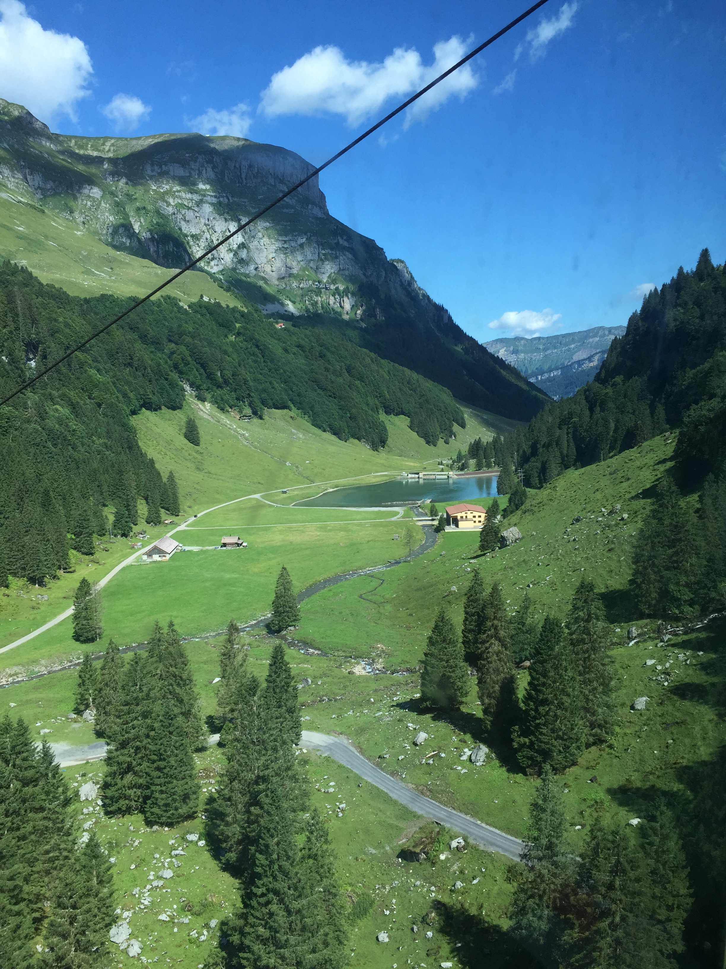
View down to the Sali Lake
View to the Waldisee Falls:
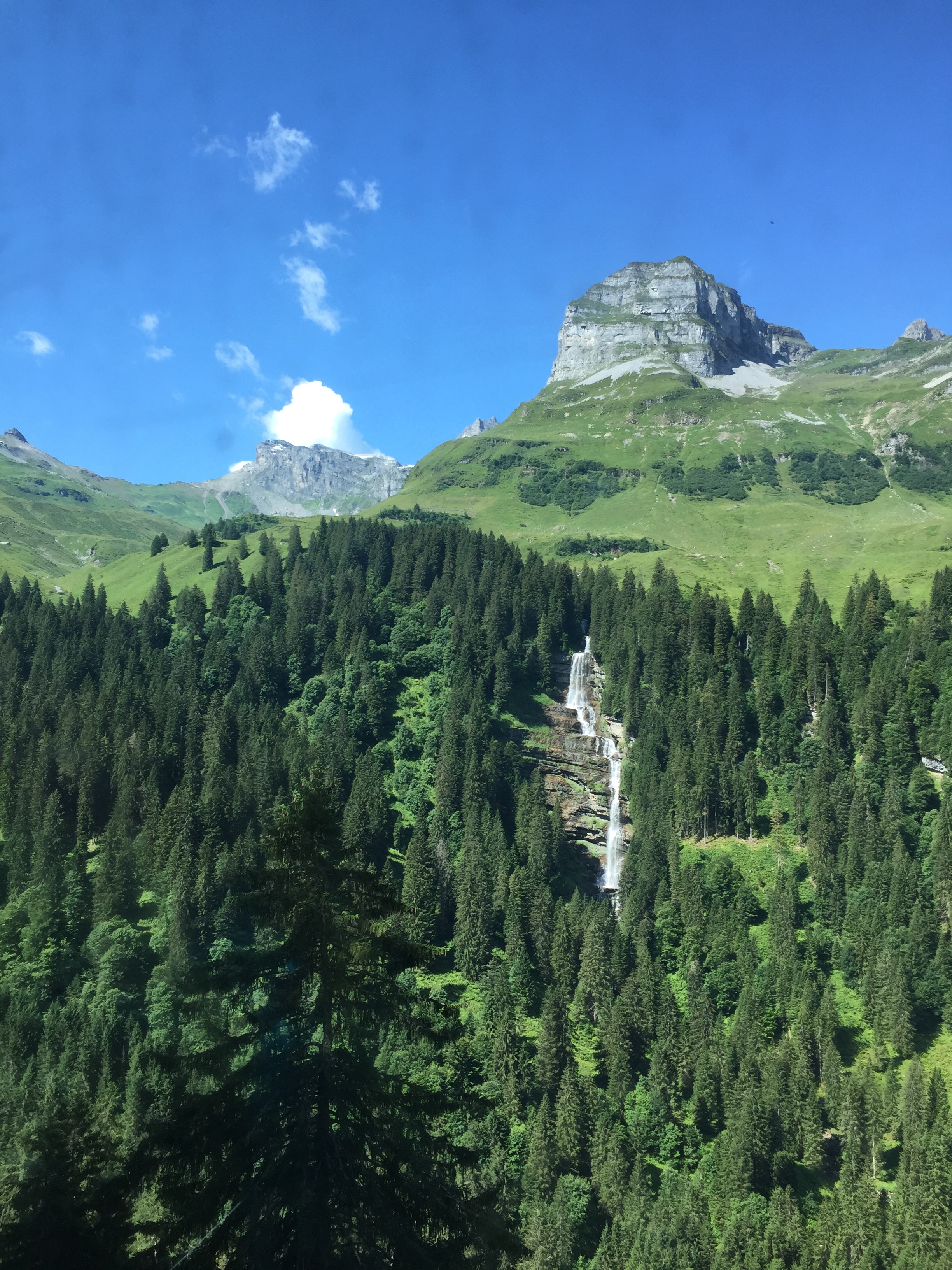
View to Waldisee Falls
View back to the Waldisee and the Alpler Horn in the back:
Waldisee
On the right the hiking trail up to the Glattalp:
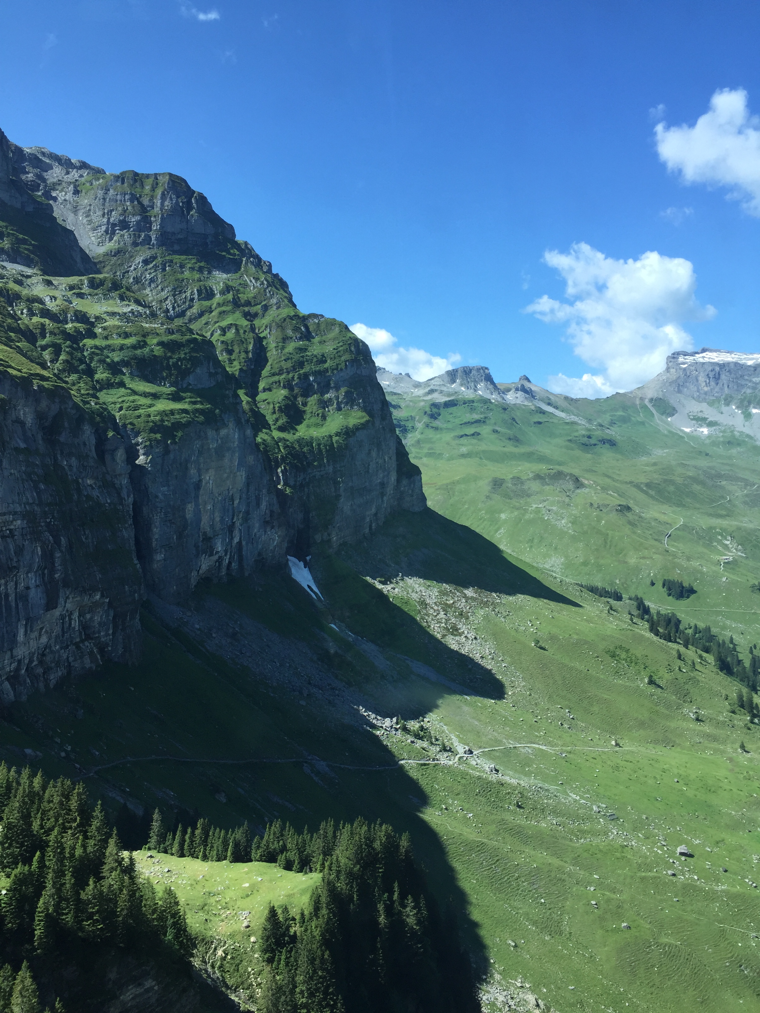
Hiking Trail up to the Glattalp
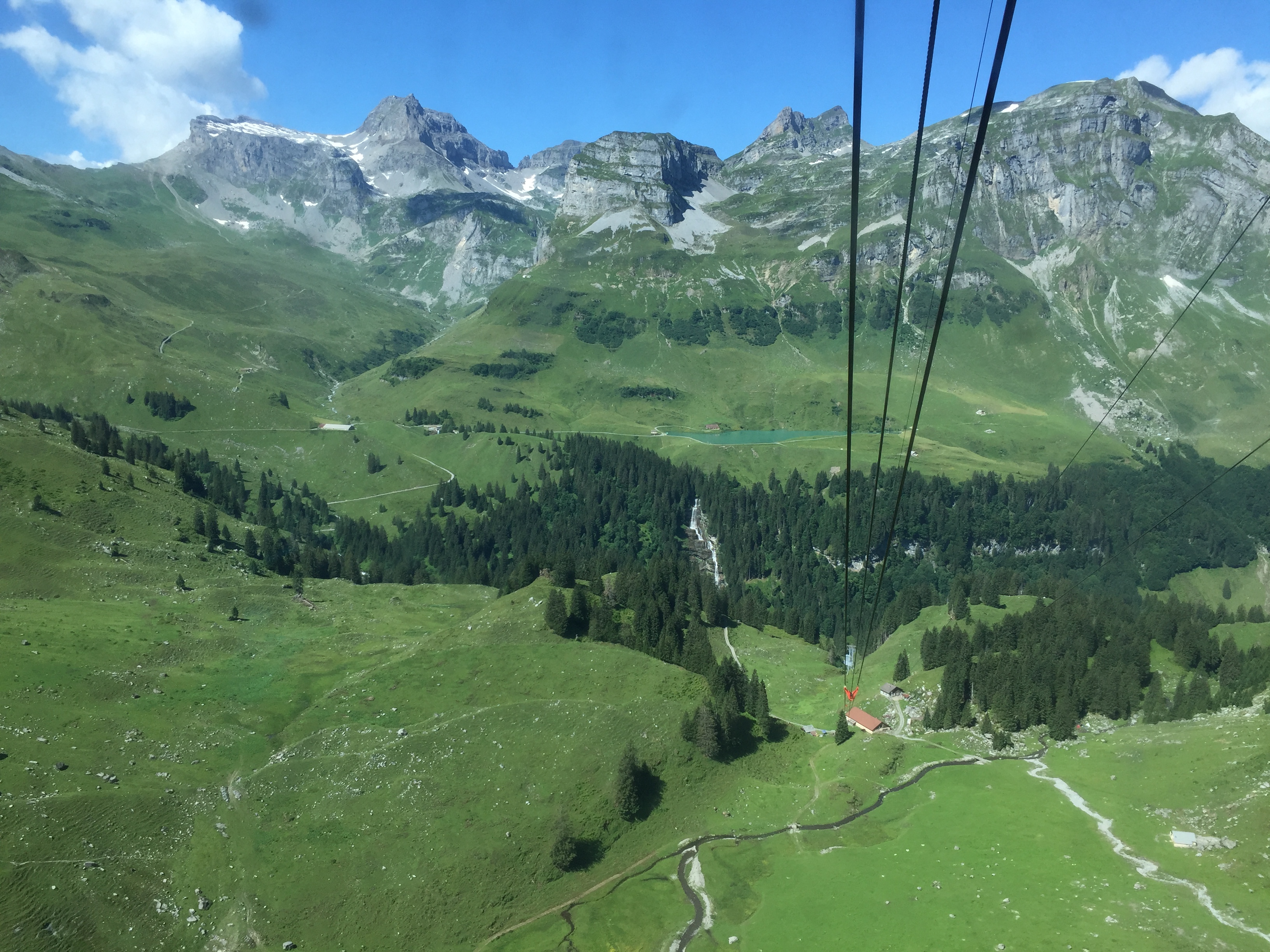
Getting closer to the first stop:
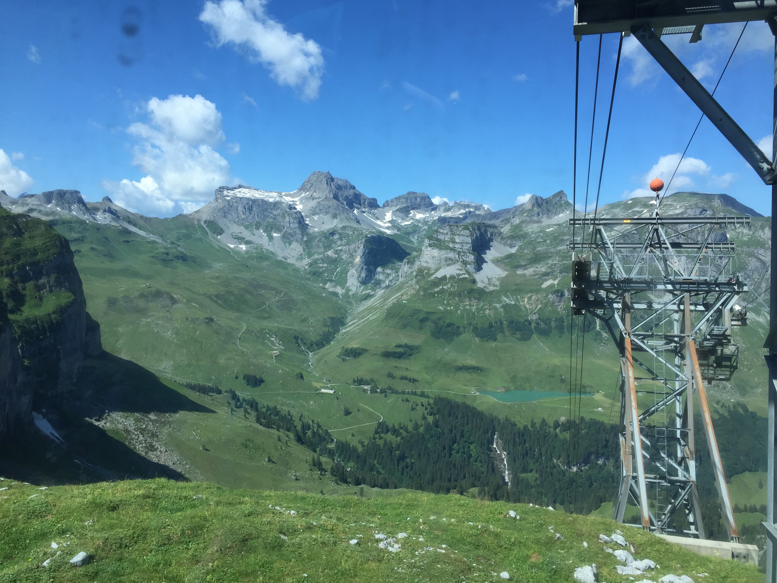
View back to Alpler Range
View from the top station:
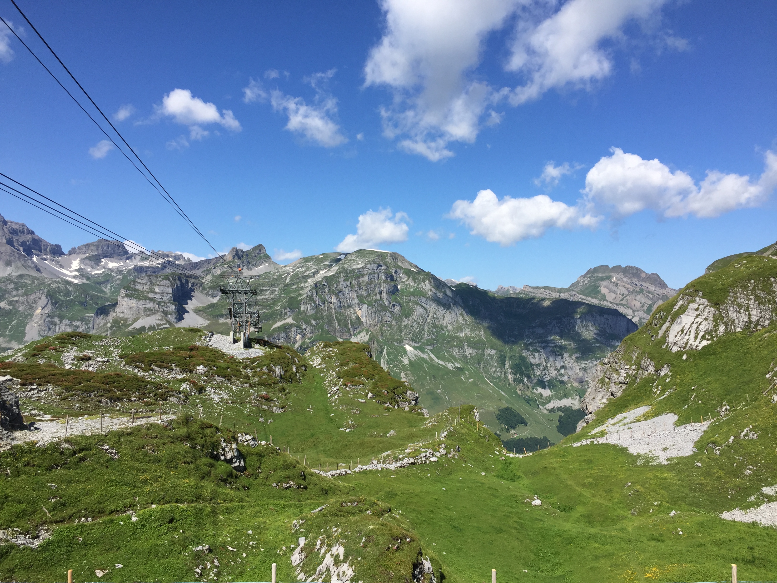
View back from the top station
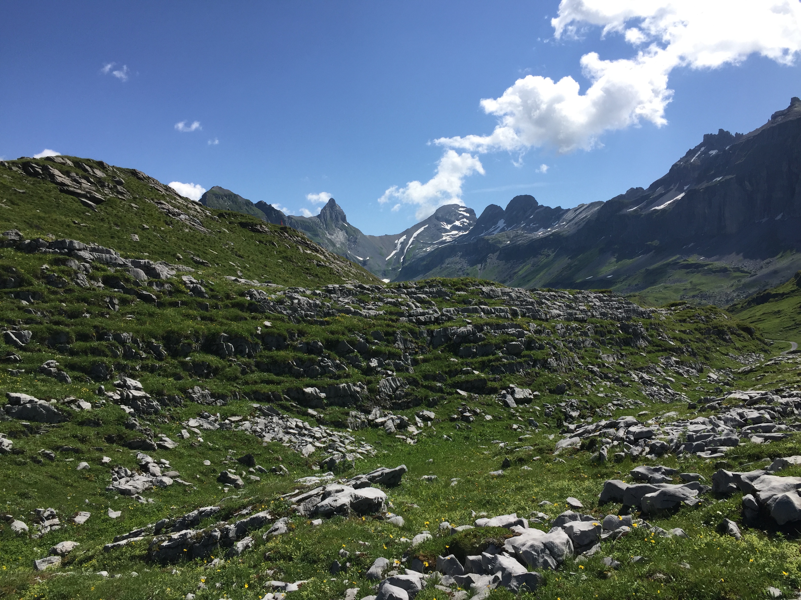
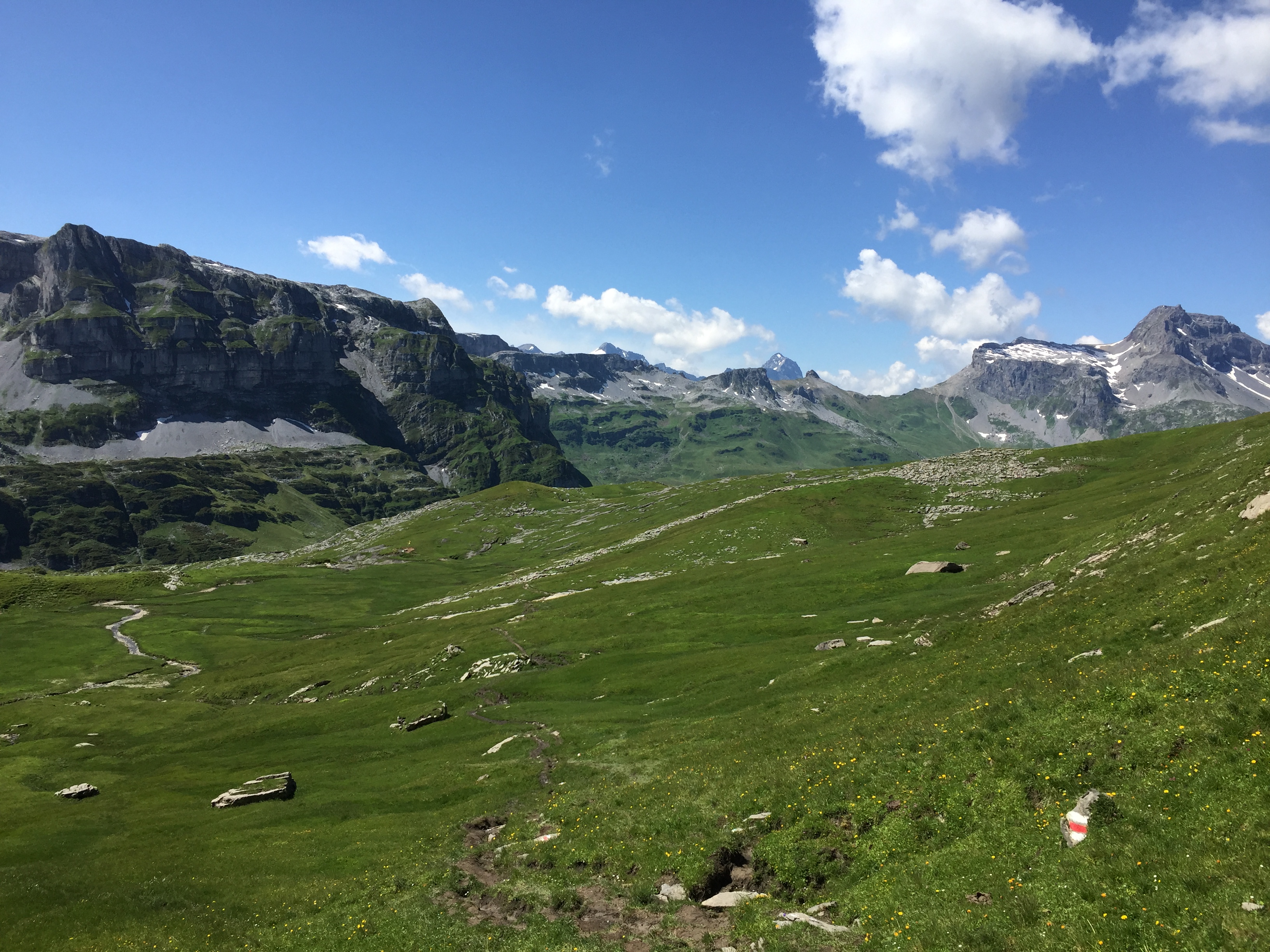
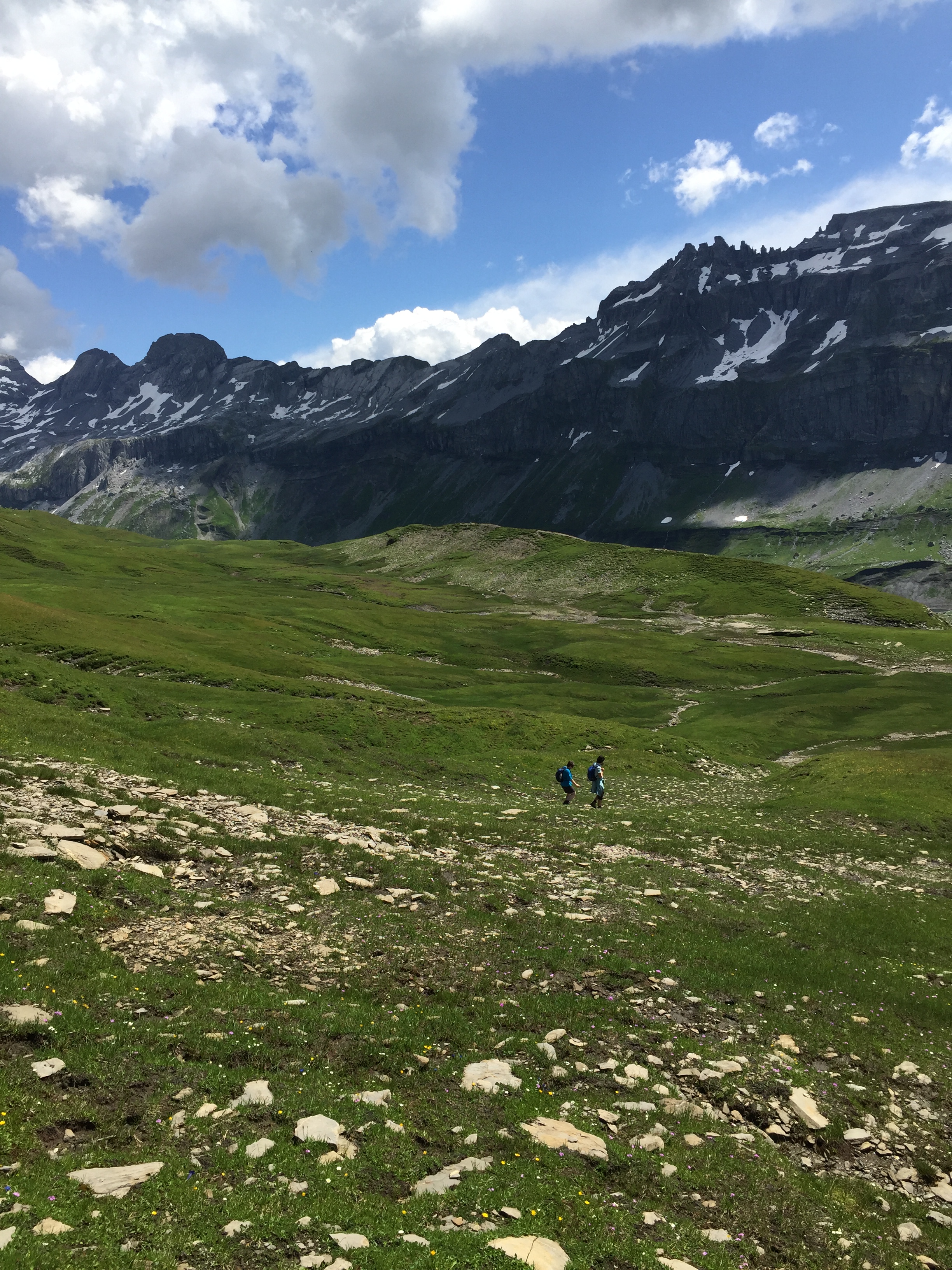
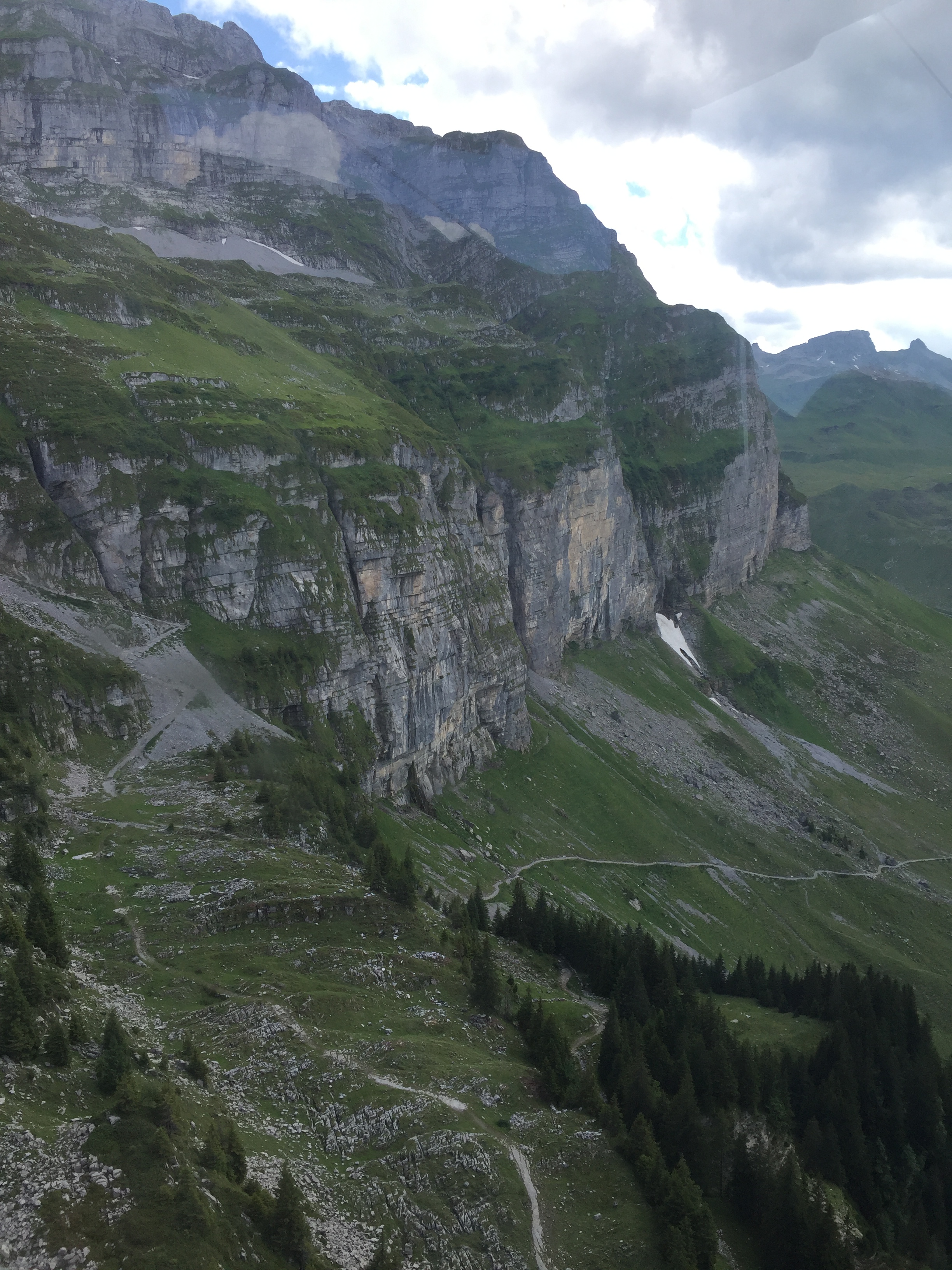
Alpine hiking trails below. The valley is Karst area, and the presence of a lake is rather unusual, as the water dissolves the rock and creates a subterranean drainage. That’s the reason why the lake has no natural exit.
Alpine Hiking Trails
Alpine meadows
Passing the Glattalp Alpine (SAC) hut which is a starting point for many hikes.
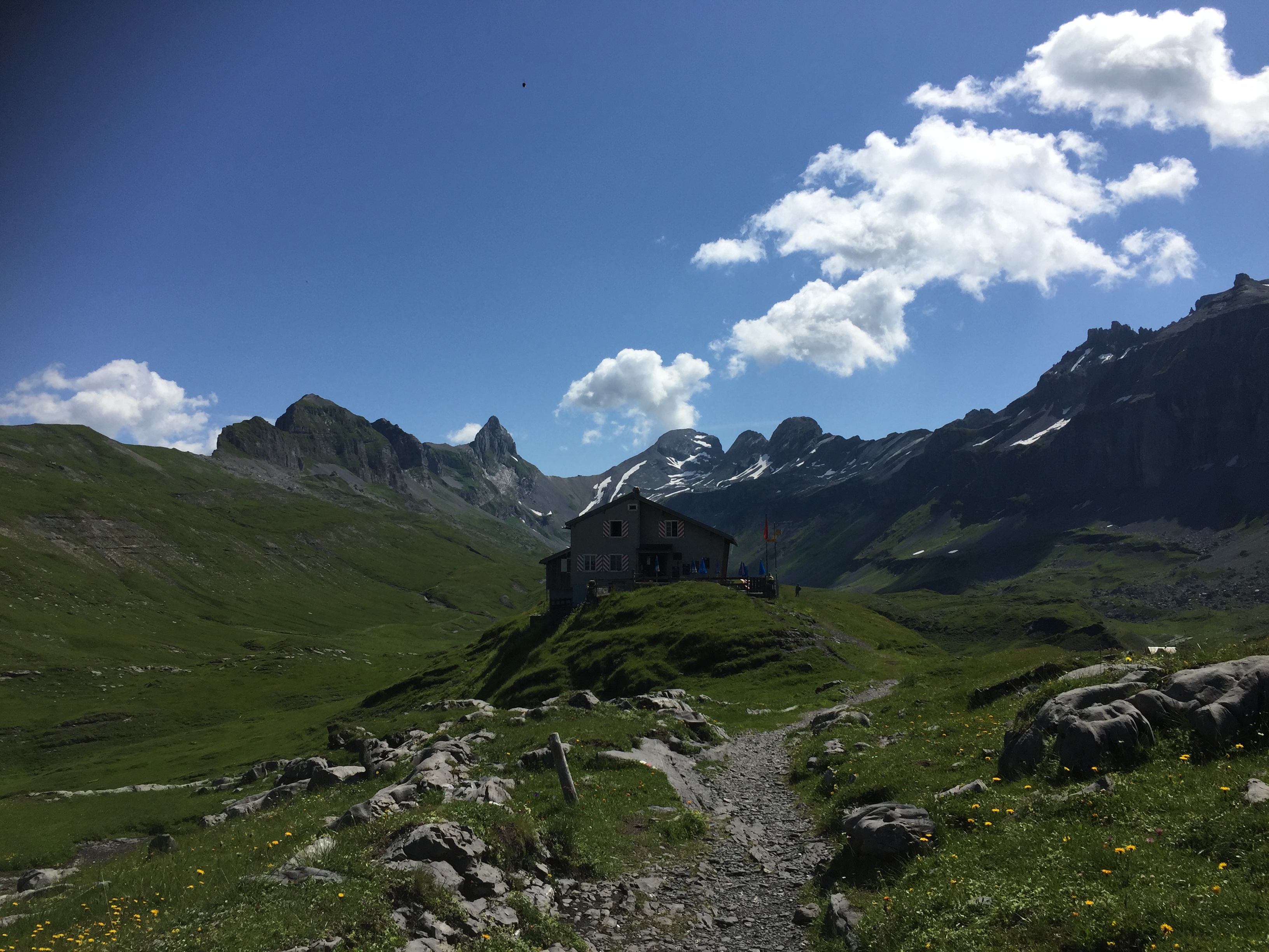
Glattalphütte
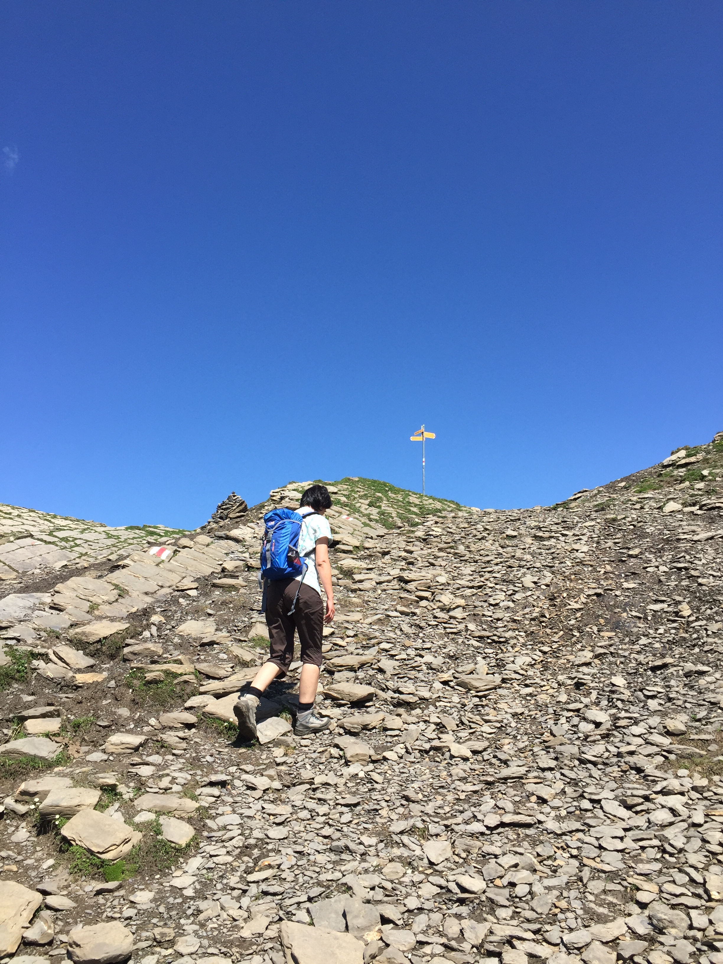
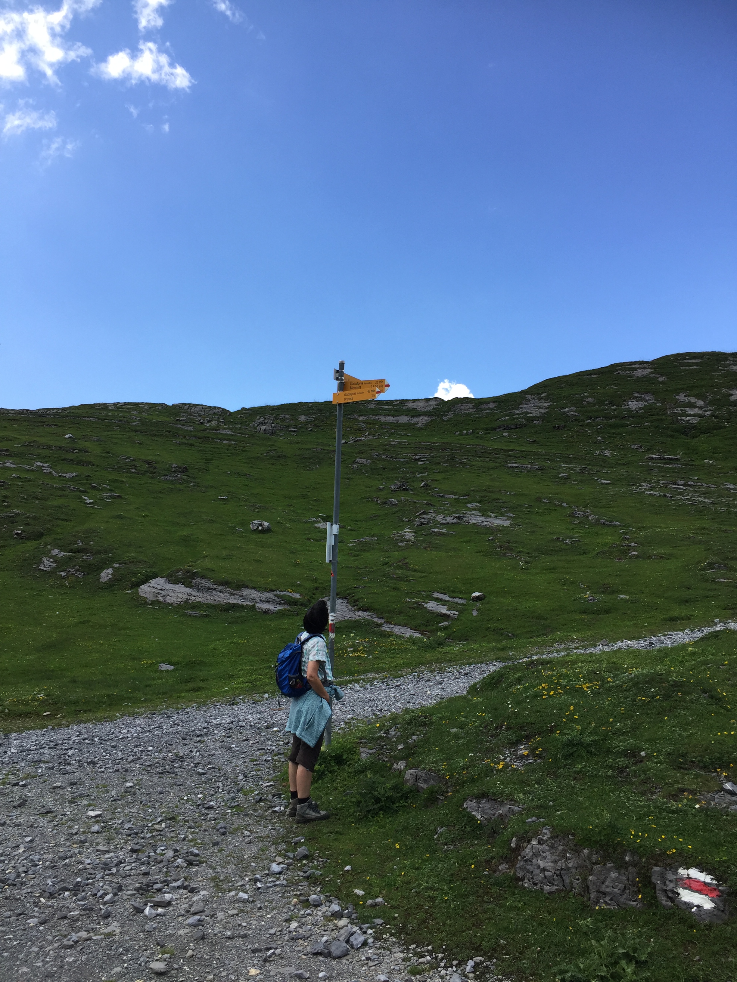
Heading to the left (north) side of the valley. Passing a sign post. Usually they are about 2.5 meter high, but that one is about 5 meter: that way you still see it with all the snow:
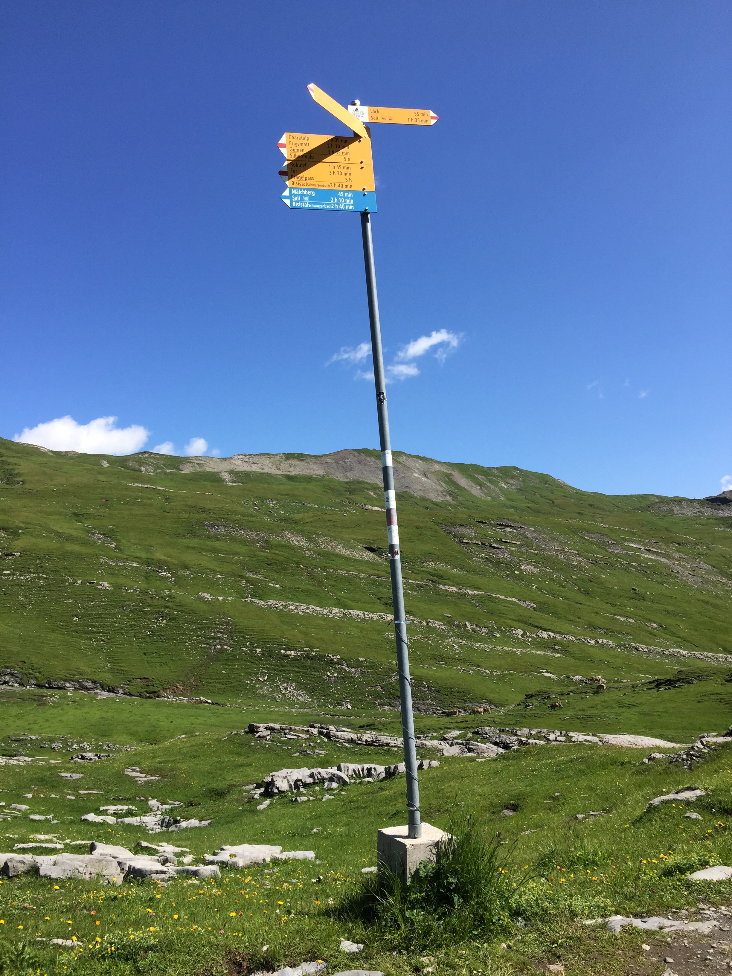
Signpost
Passing on the left the Glattalp Chapel:
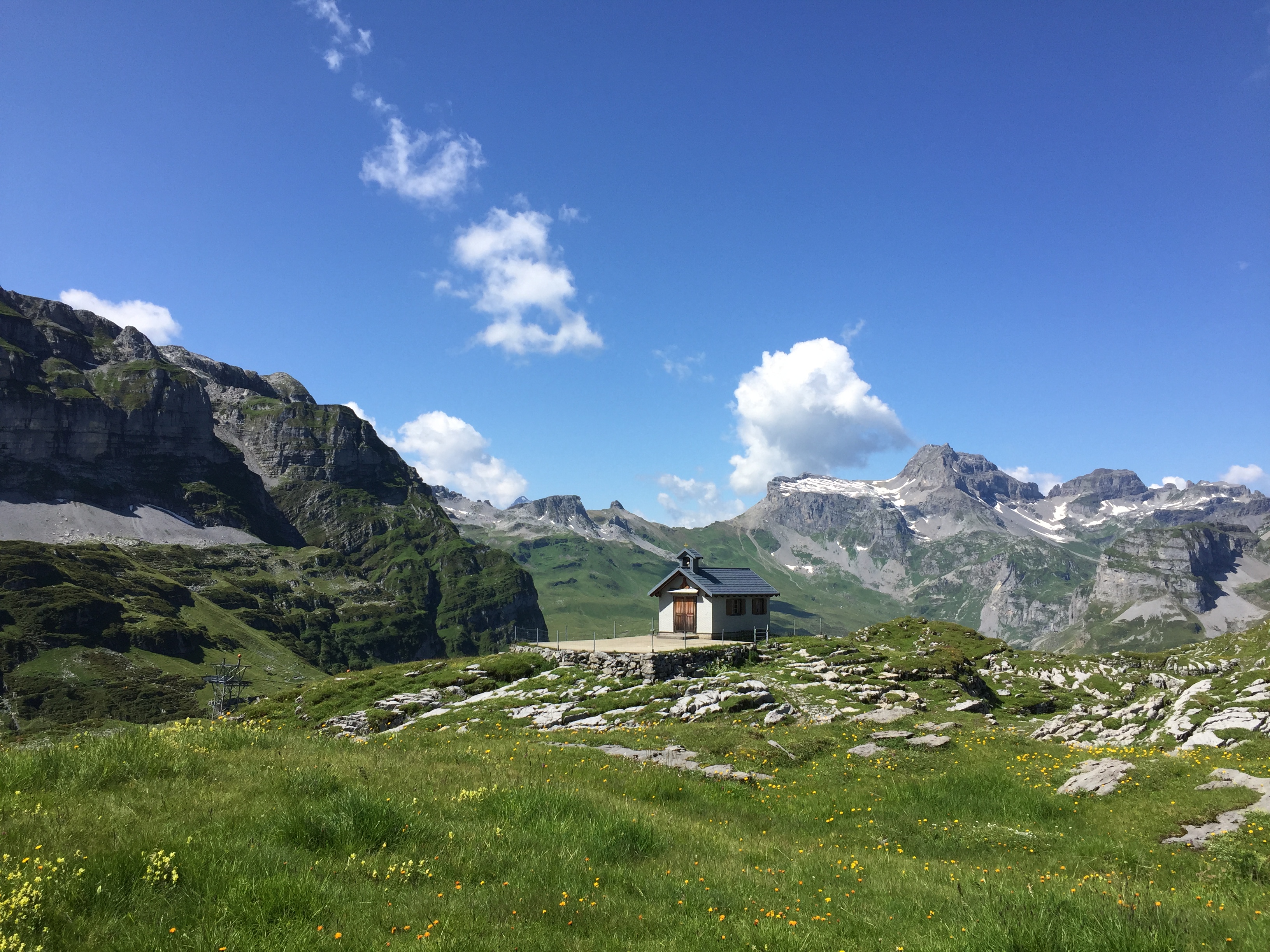
Glattalp Chapel
White-Red-White marks tell us we are on the right track:
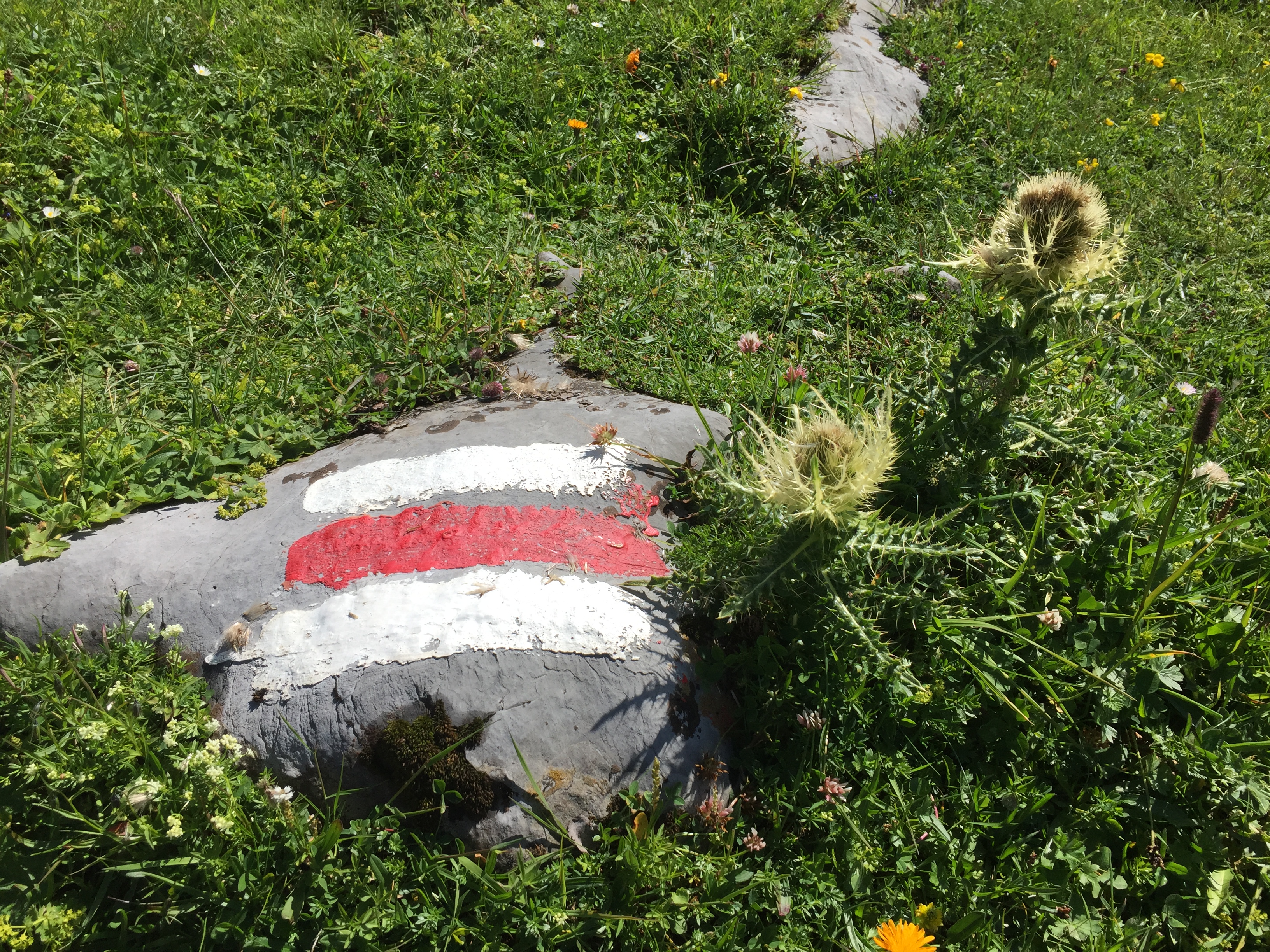
Wanderwegmarkierungen
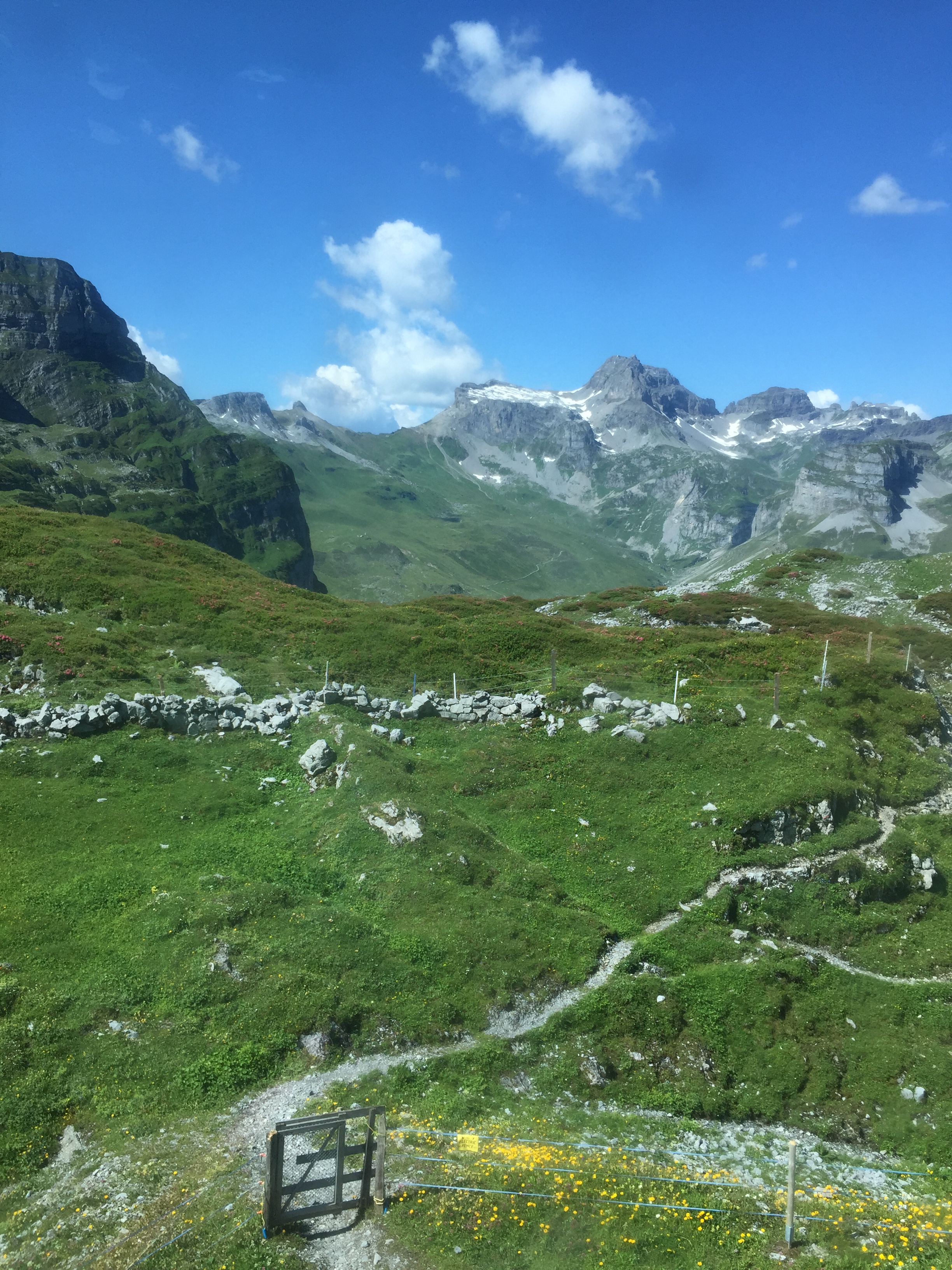
The Karst creates a very special and interesting landscape:
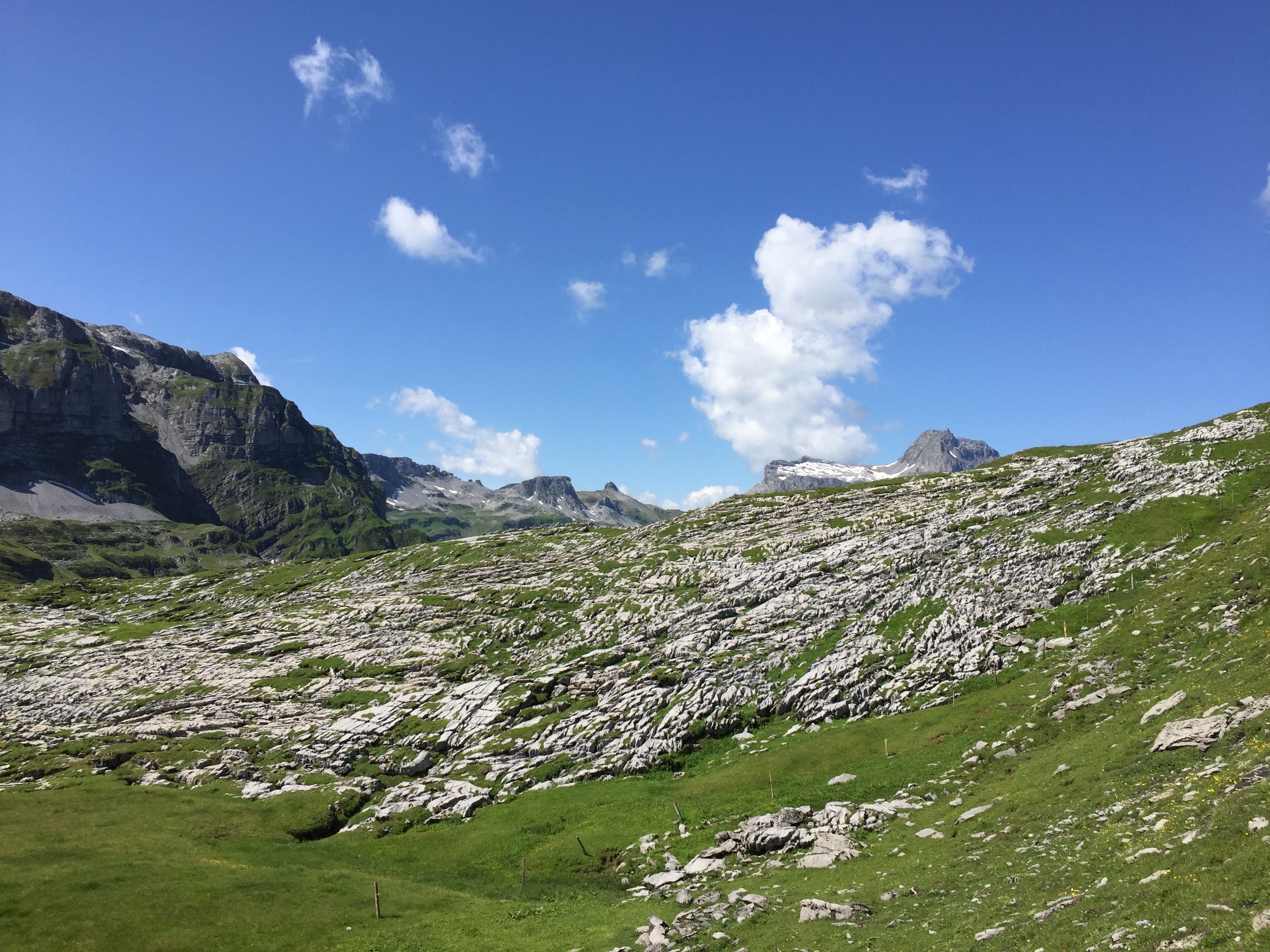
Glattalp Karst
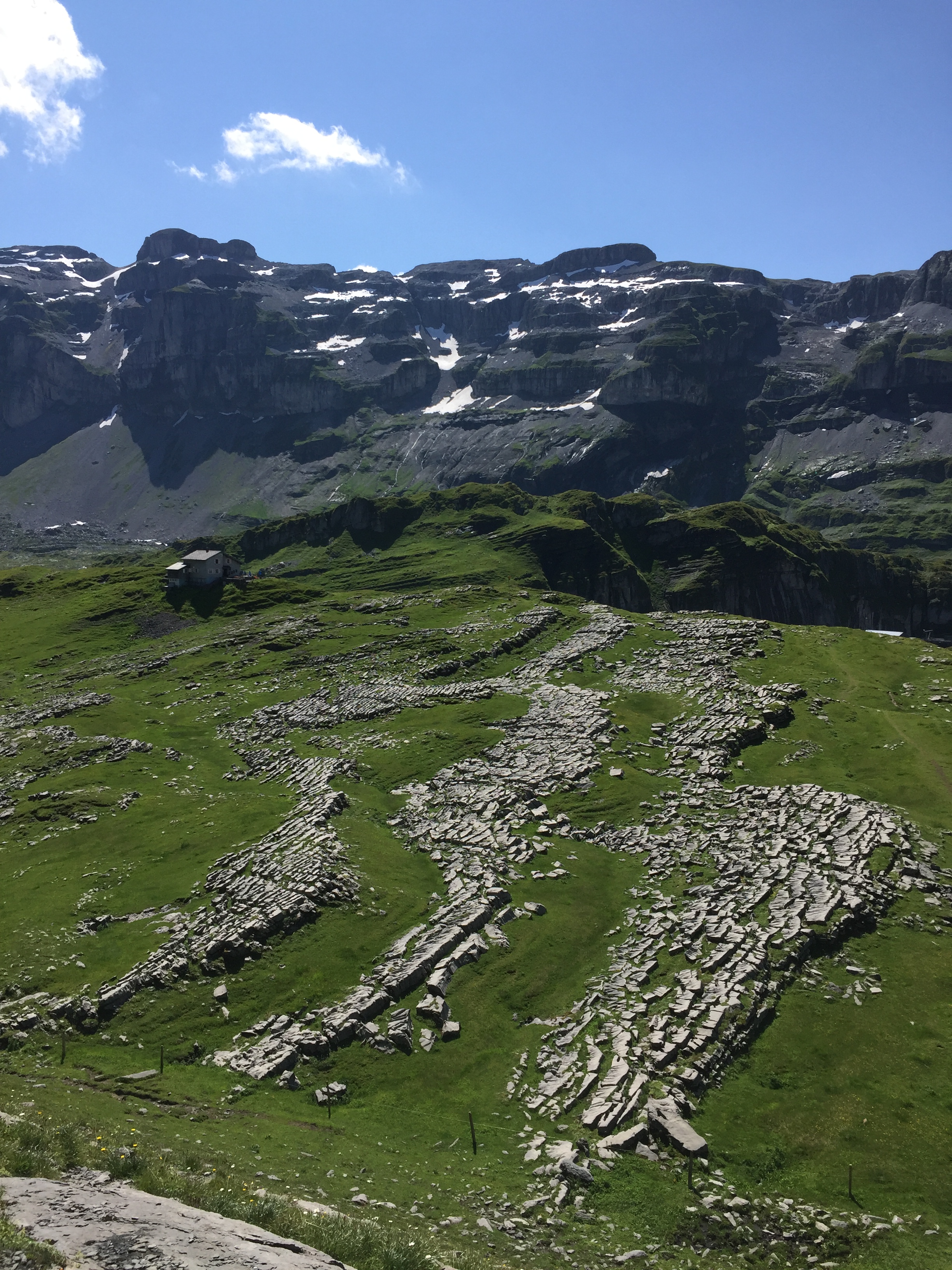
Glattalp Karst
Between the rocks, areas with alpine meadows, created after the last ice age more than 10000 years ago:
Karst Meadows
Karst Meadows
Karst Meadows
The Grossbodenkreuz (cross on the right) is in reach:

Grossbodenkreuz
Nearby is the Grossbodenkreuz Pass at 2056 meter:
Grossbodenkreuz Pass
On the pass, a nice welcome from a small Steimannli (stone man):
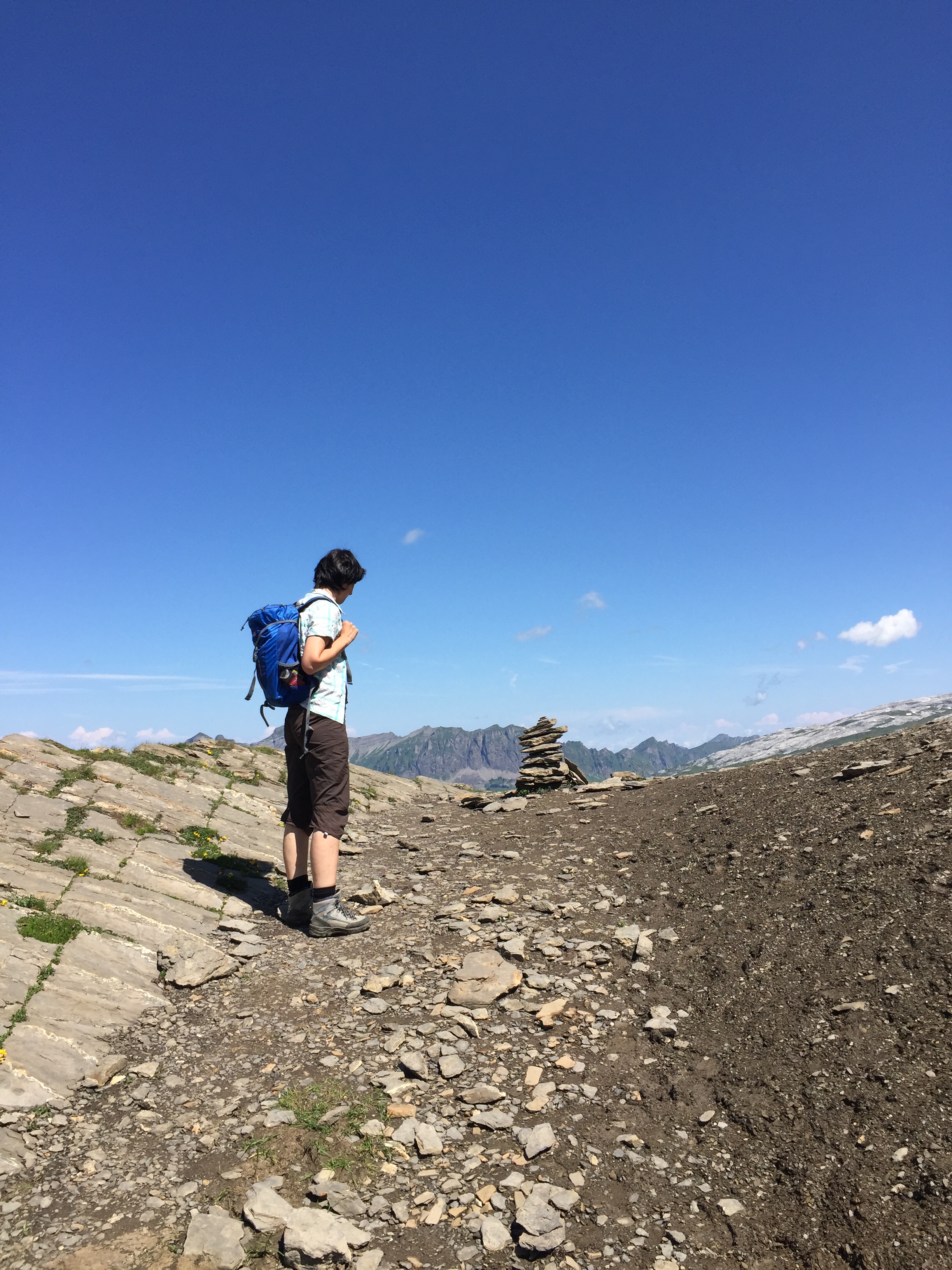
Steimannli
The Grossbodenkreuz is just a few metes above at 2072 meter:
Grossbodenkreuz
With stunning views:
View from Grossbodenkreuz (click to enlarge)
Views from the Grossbodenkreuz (click to enlarge)
View to the Glattalpsee
View to the Glattalpsee
View to the Rigi and Lake Zug:
View to the Rigi from Grossbodenkreuz
Grossbodenkreuz Pass nearby:
Grossbodenkreuz Pass
Down below in the valley the Charetalphüttli in the valley of Charetalp:
Charetalphüttli
We are leaving the official hiking trail and following a trail on the Charetalpfirst to the East, a trail on the rim between the two valleys:
Hiking on the Charetalpfirst
Hiking on the Charetalpfirst
Charetalpfirst
Beautiful flora:
Alpina Flora
Alpine Flora
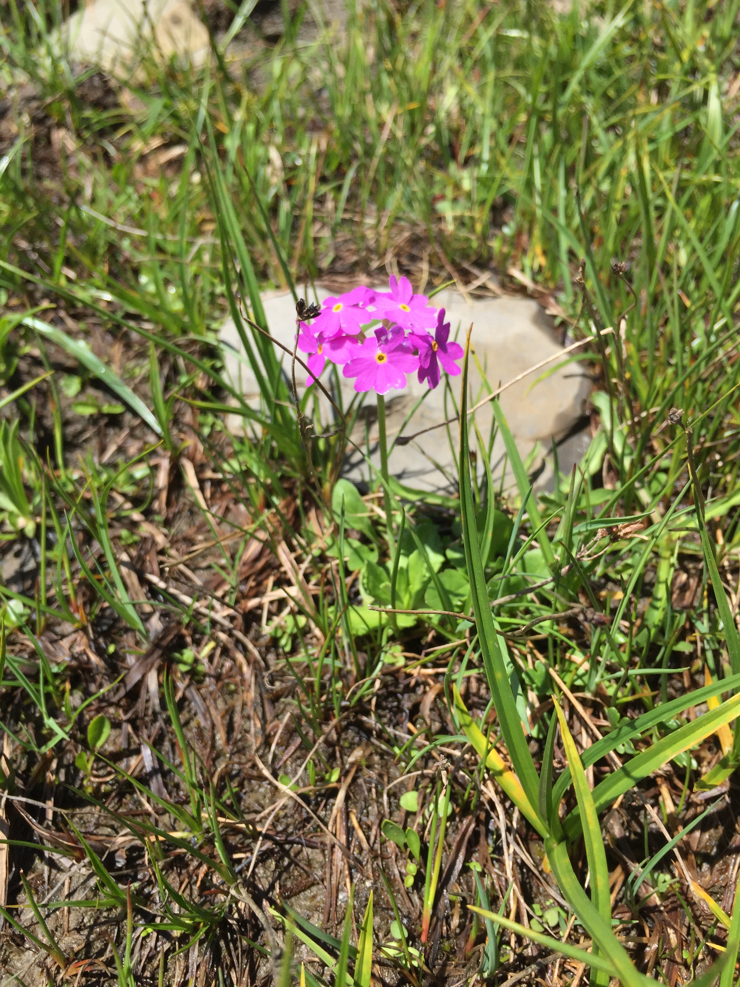
Alpine Flora
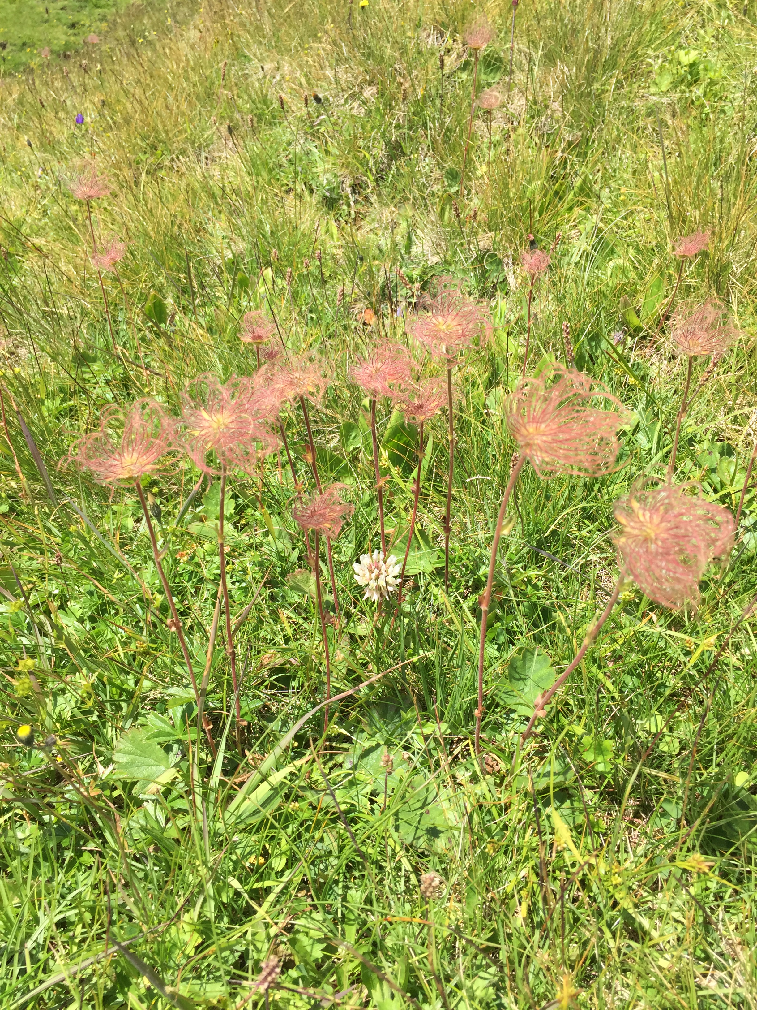
Alpine Flora
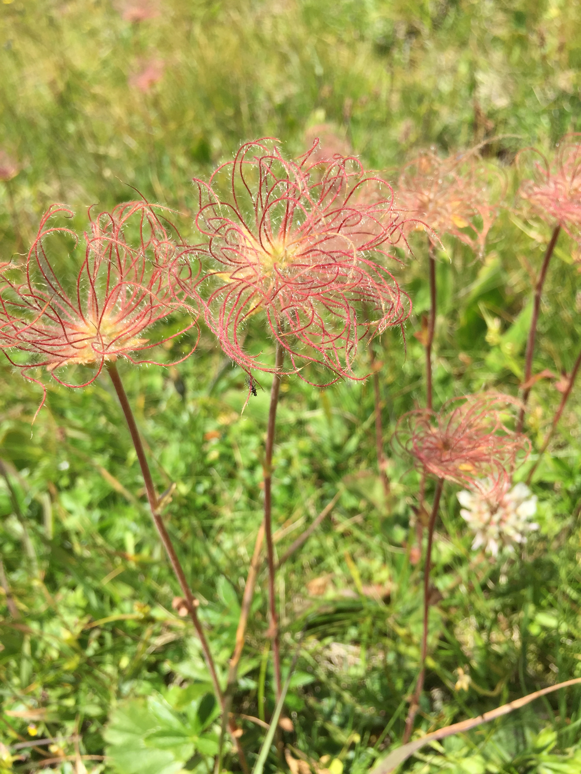
Alpine Flora
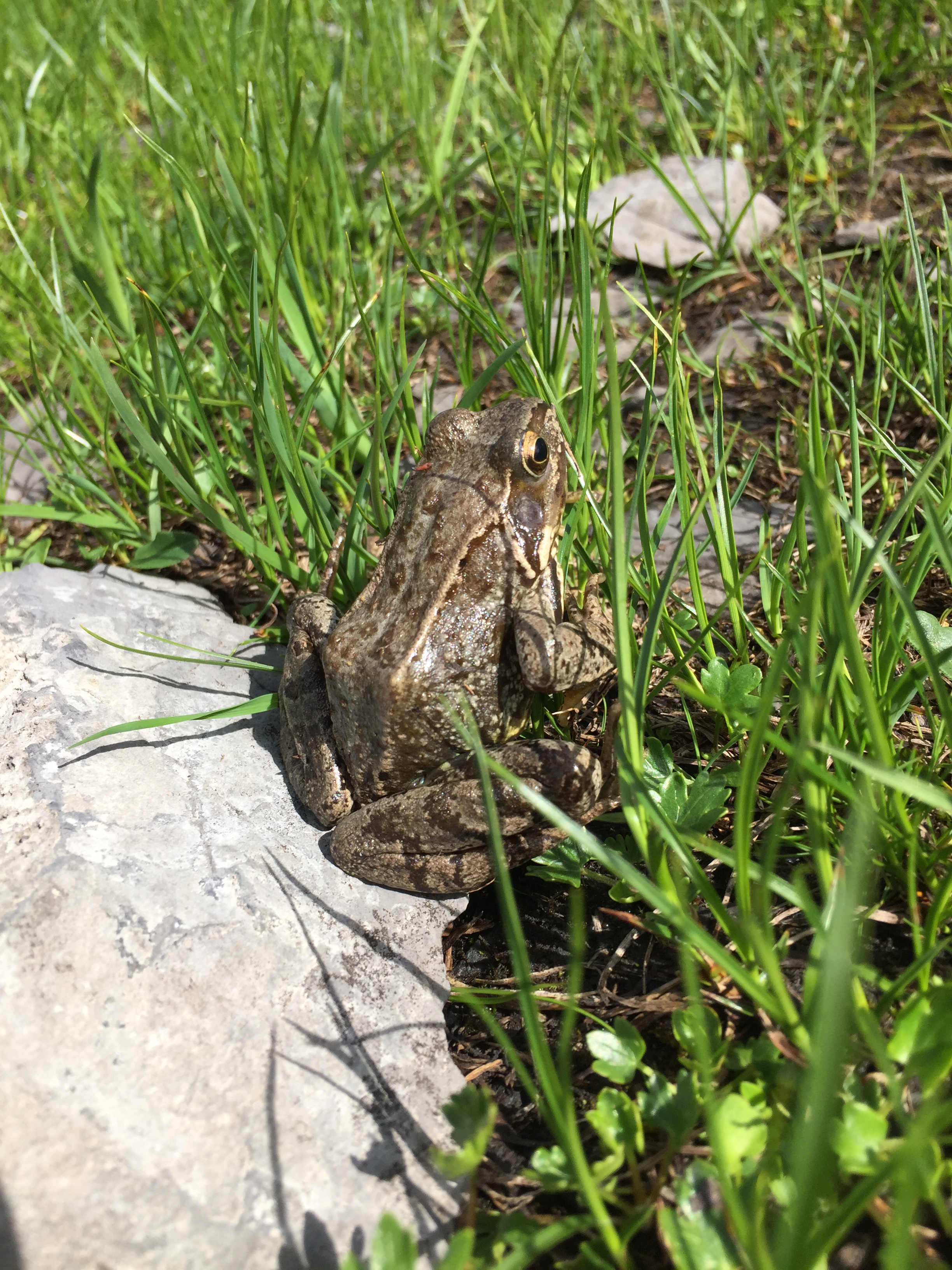
With a little critter representing some part of the fauna:
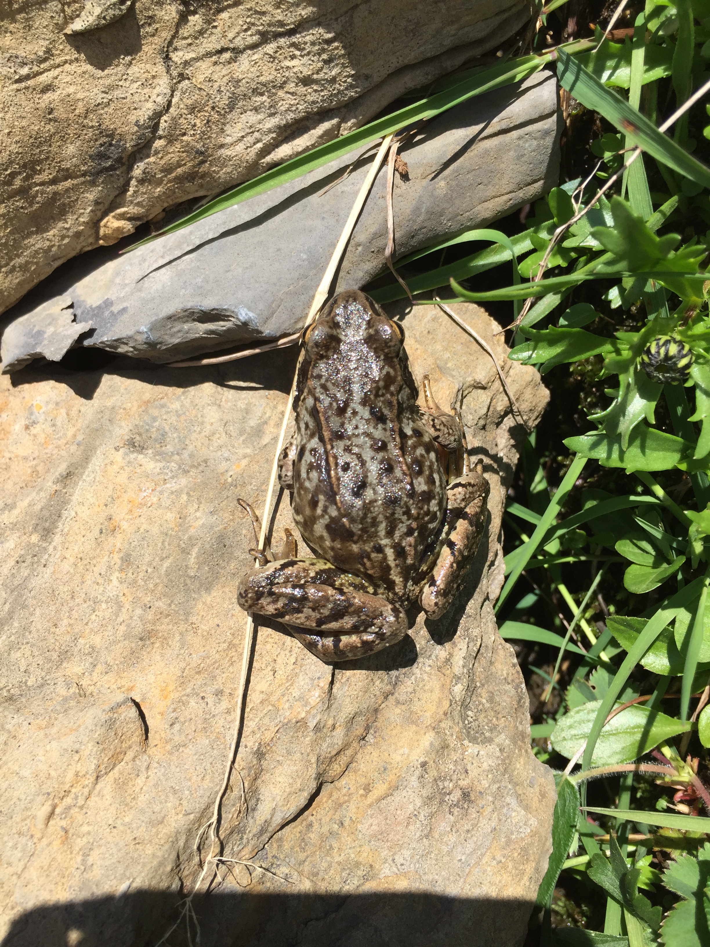
Frog
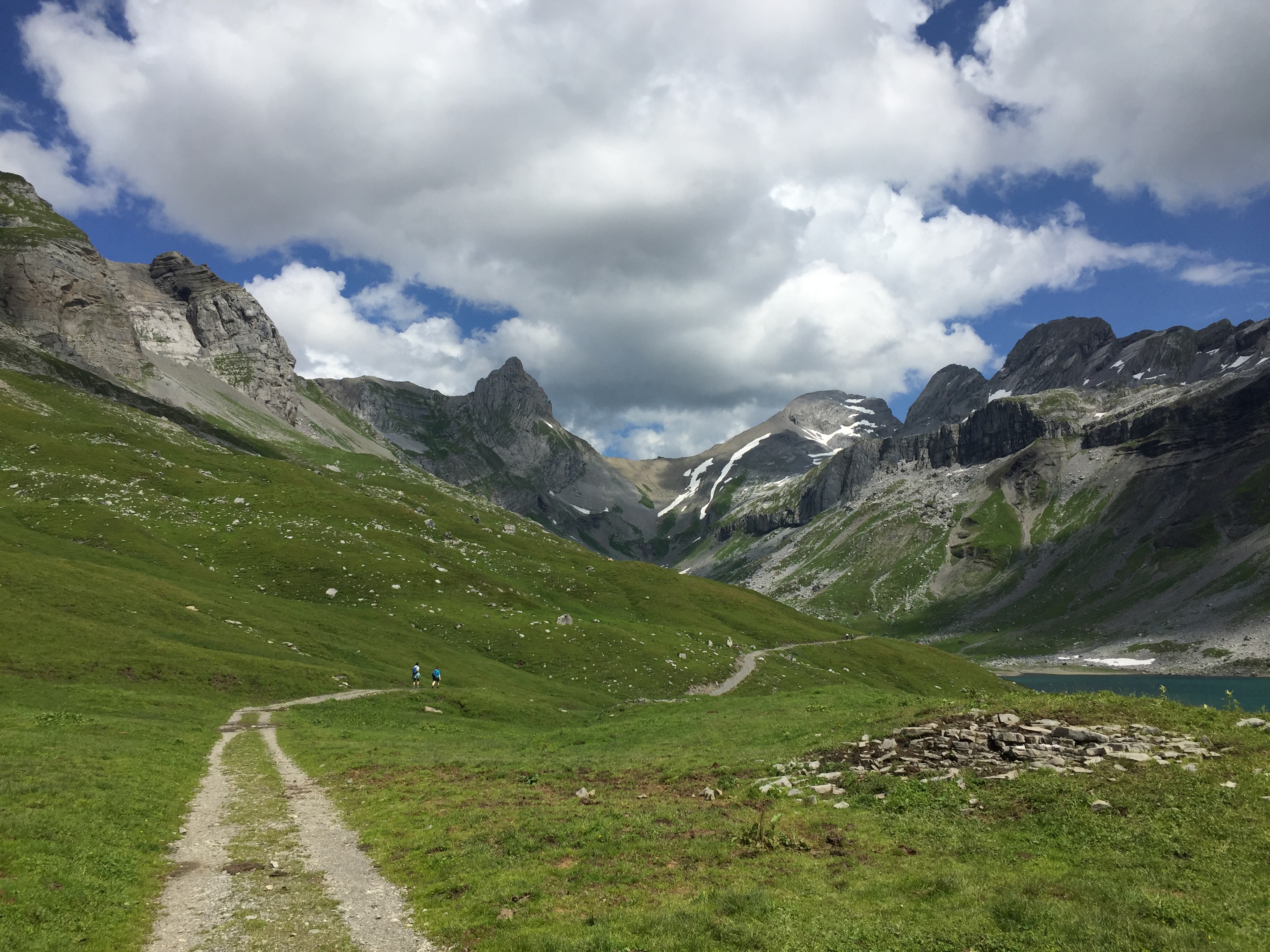
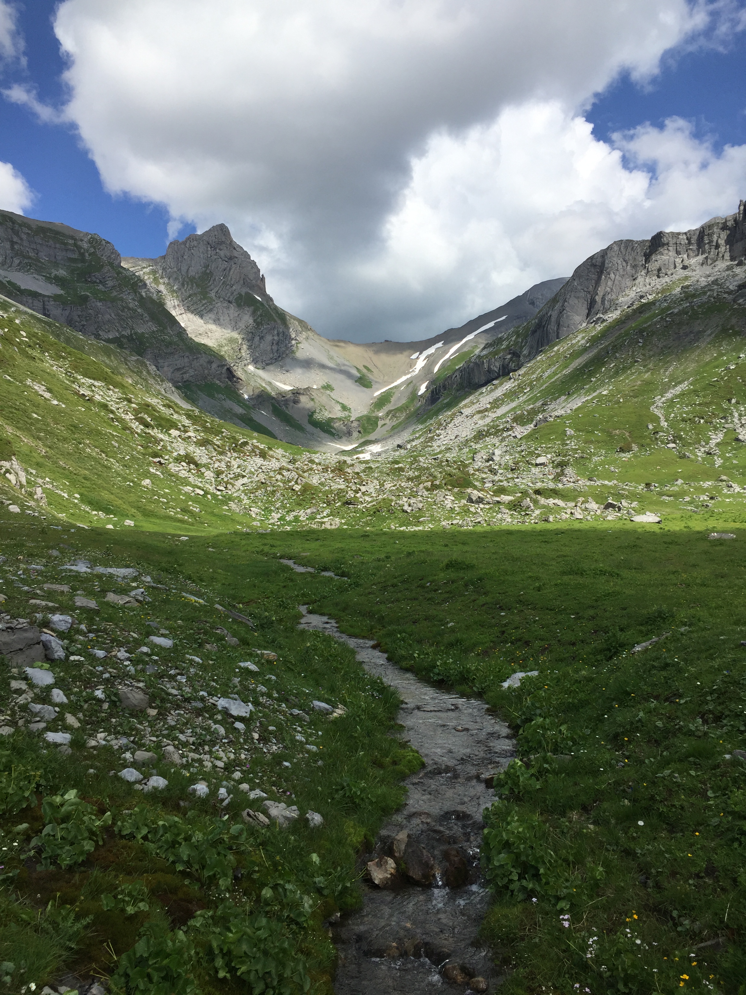
After about 1 km, descending again back into the Glattalp valley to reach the lake:
Descending down to the lake
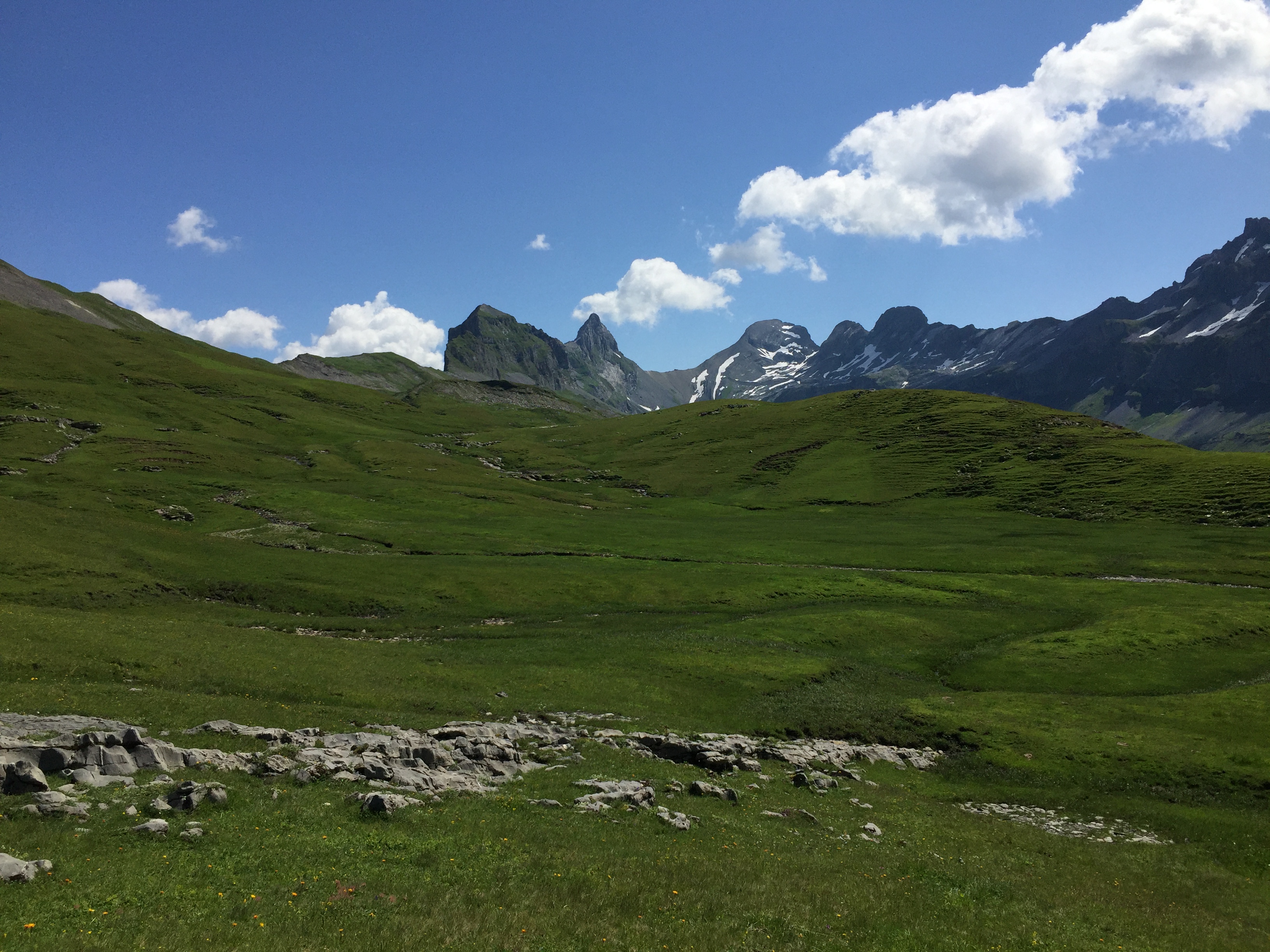
Crossing beautiful alpine meadows …
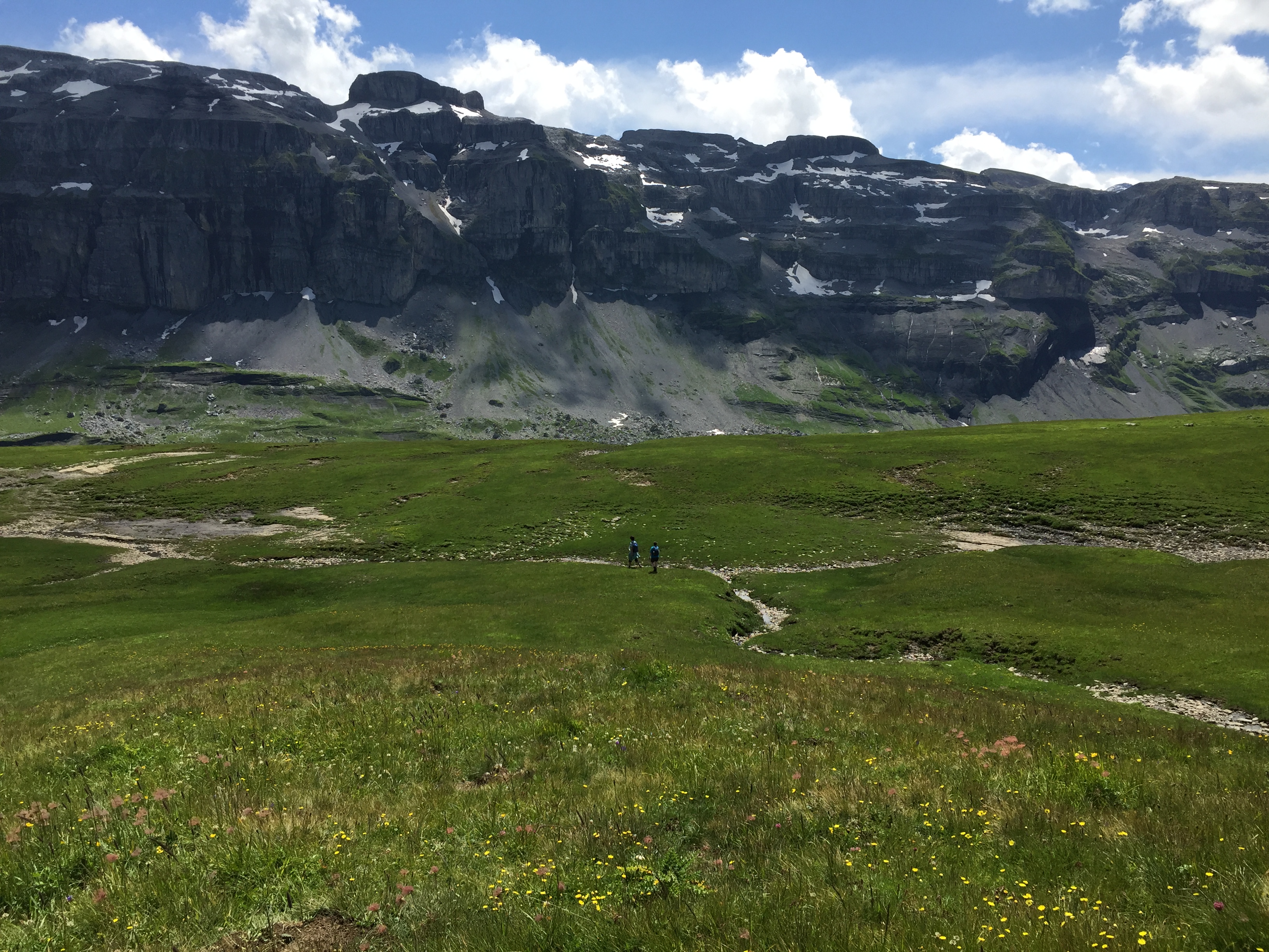
Crossing Alpine Meadows
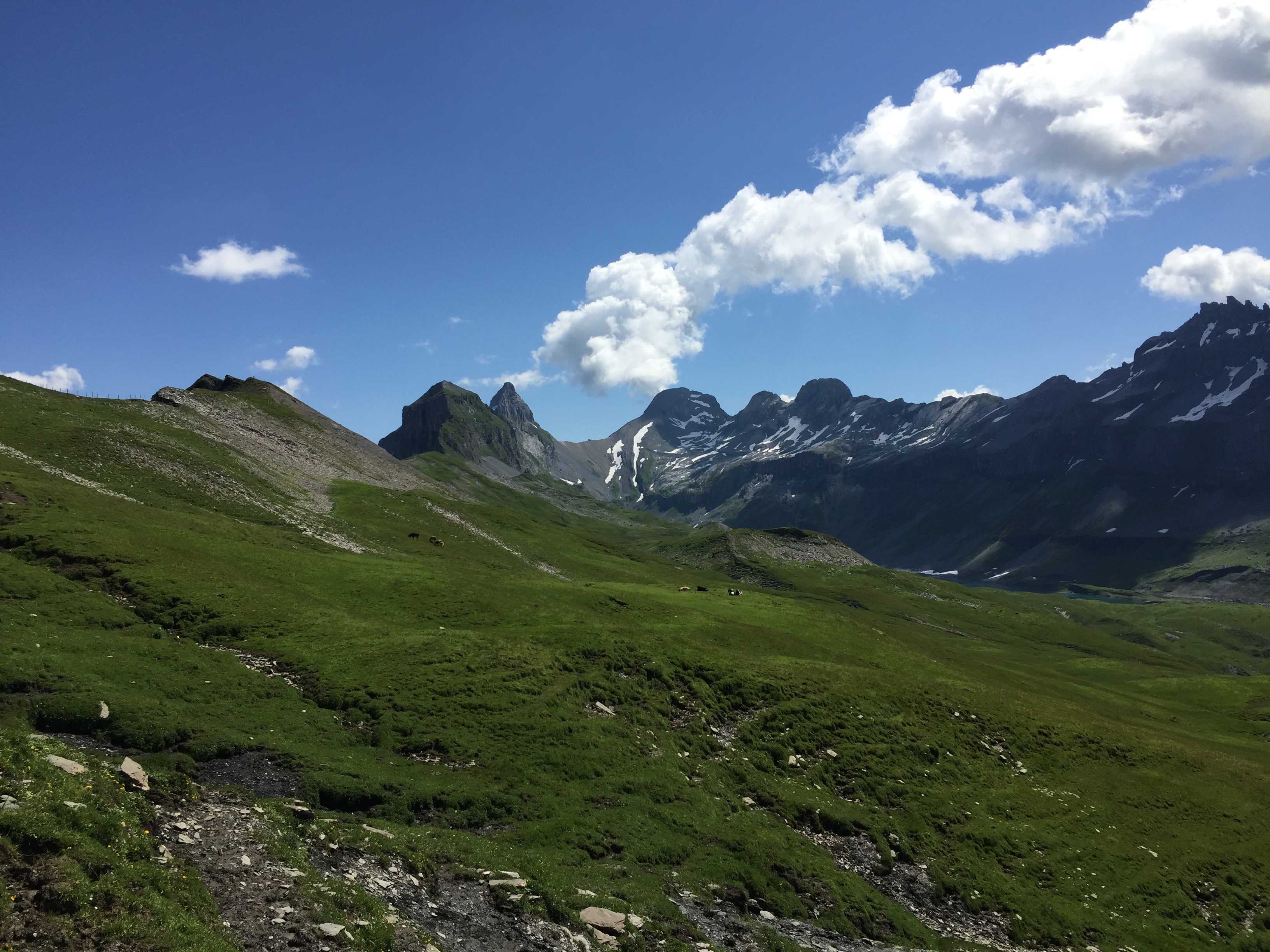
… and small creeks, with Gross Chilchberg (2426 m), Höch Turm (2665 m) und Ortsstock (2520 m) and Schijen (2608 m) in the background:
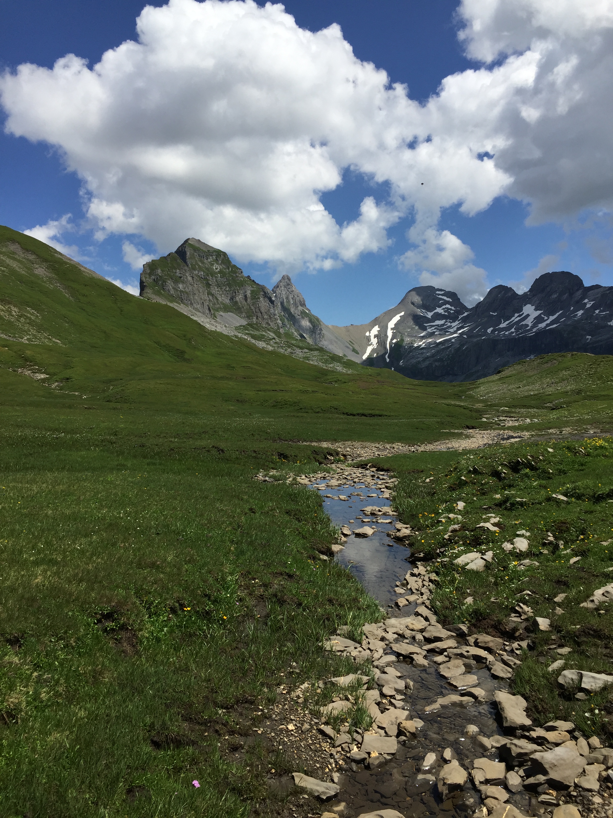
Gross Chilchberg, Höch Turm und Ortsstock
And I missed to mention another species common in this area:
Chälbeli
Passing by a small waterfall:
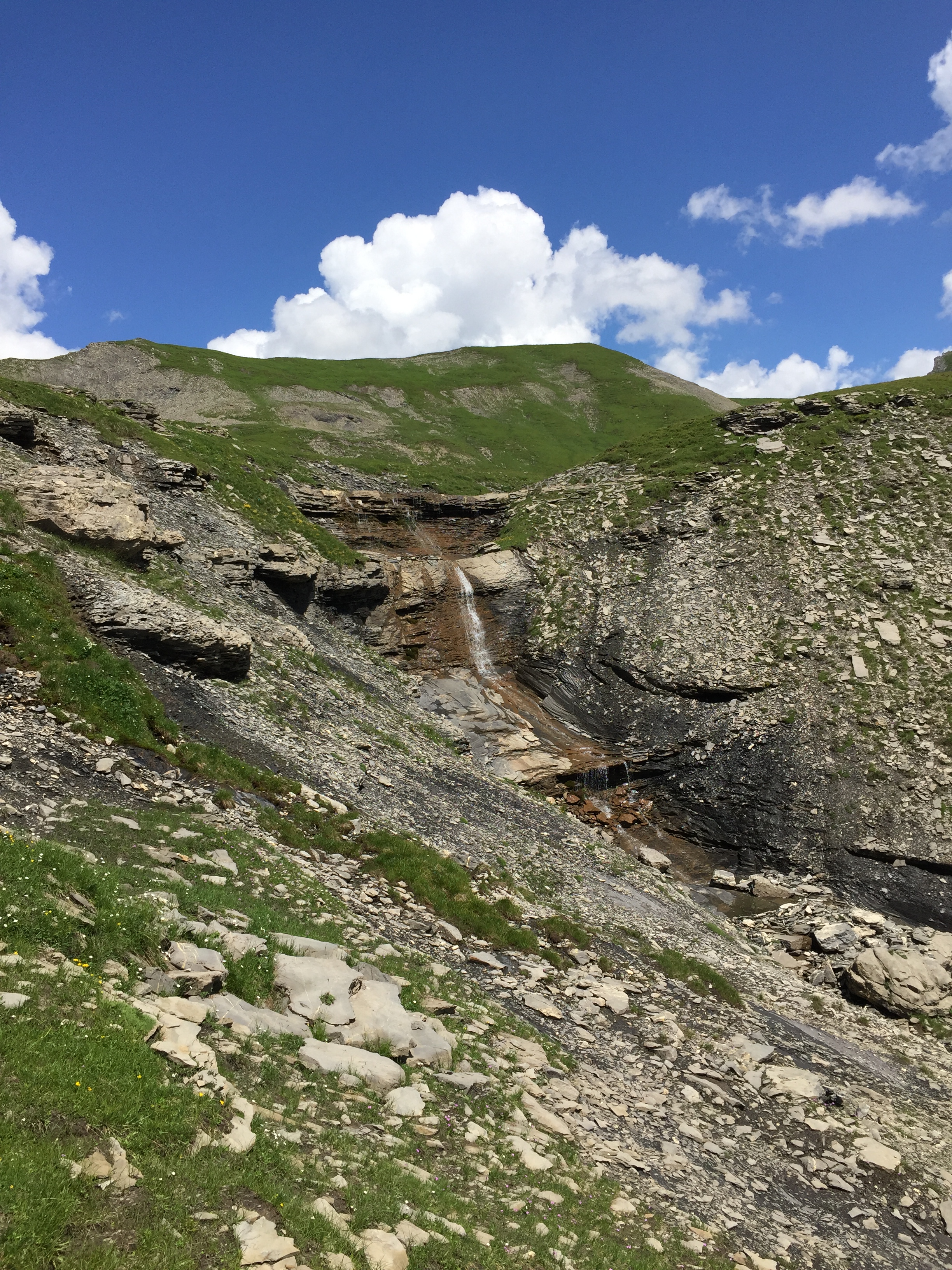
Vorderer Läckibach
More flora:
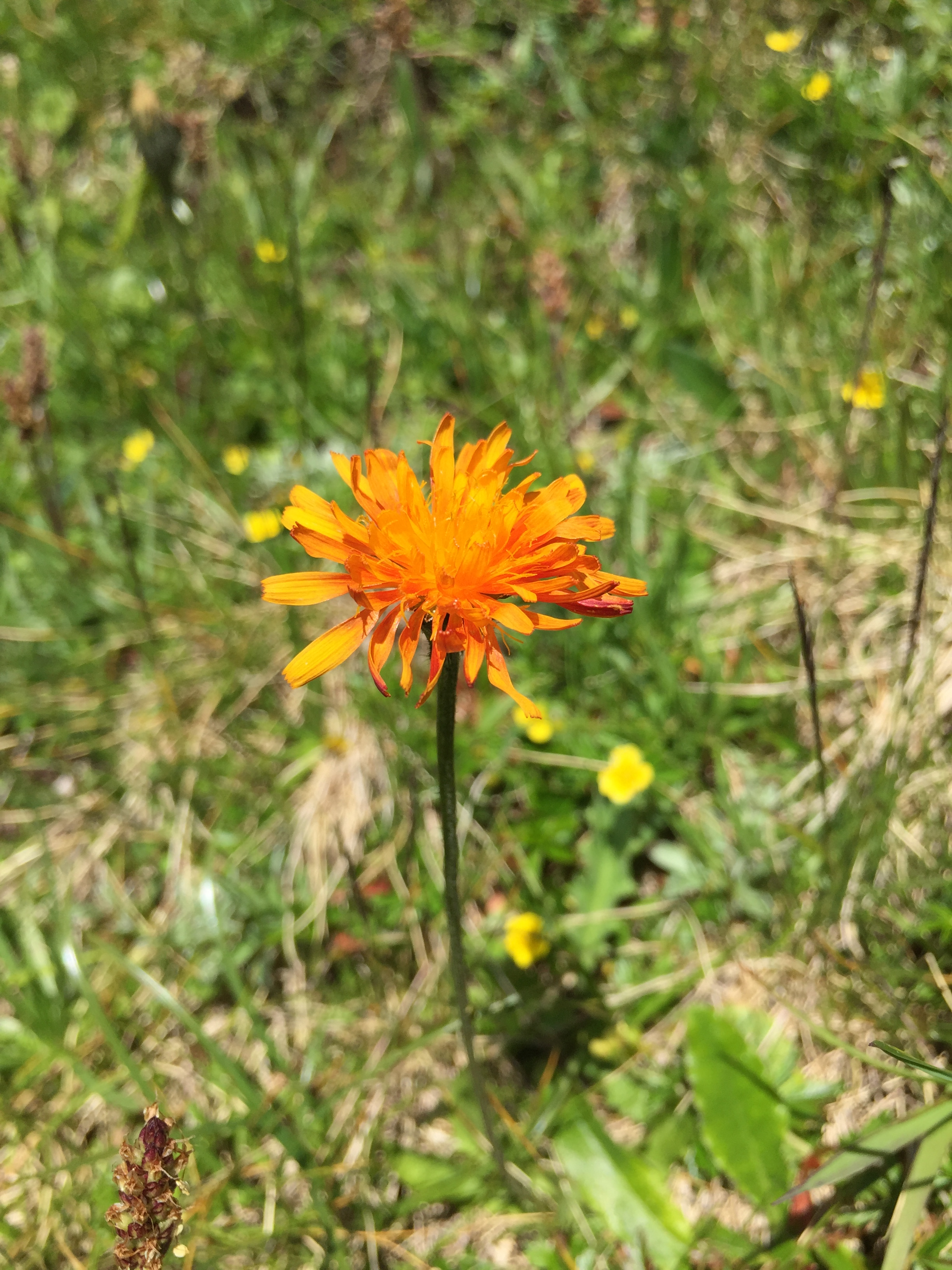
Alpine Flora
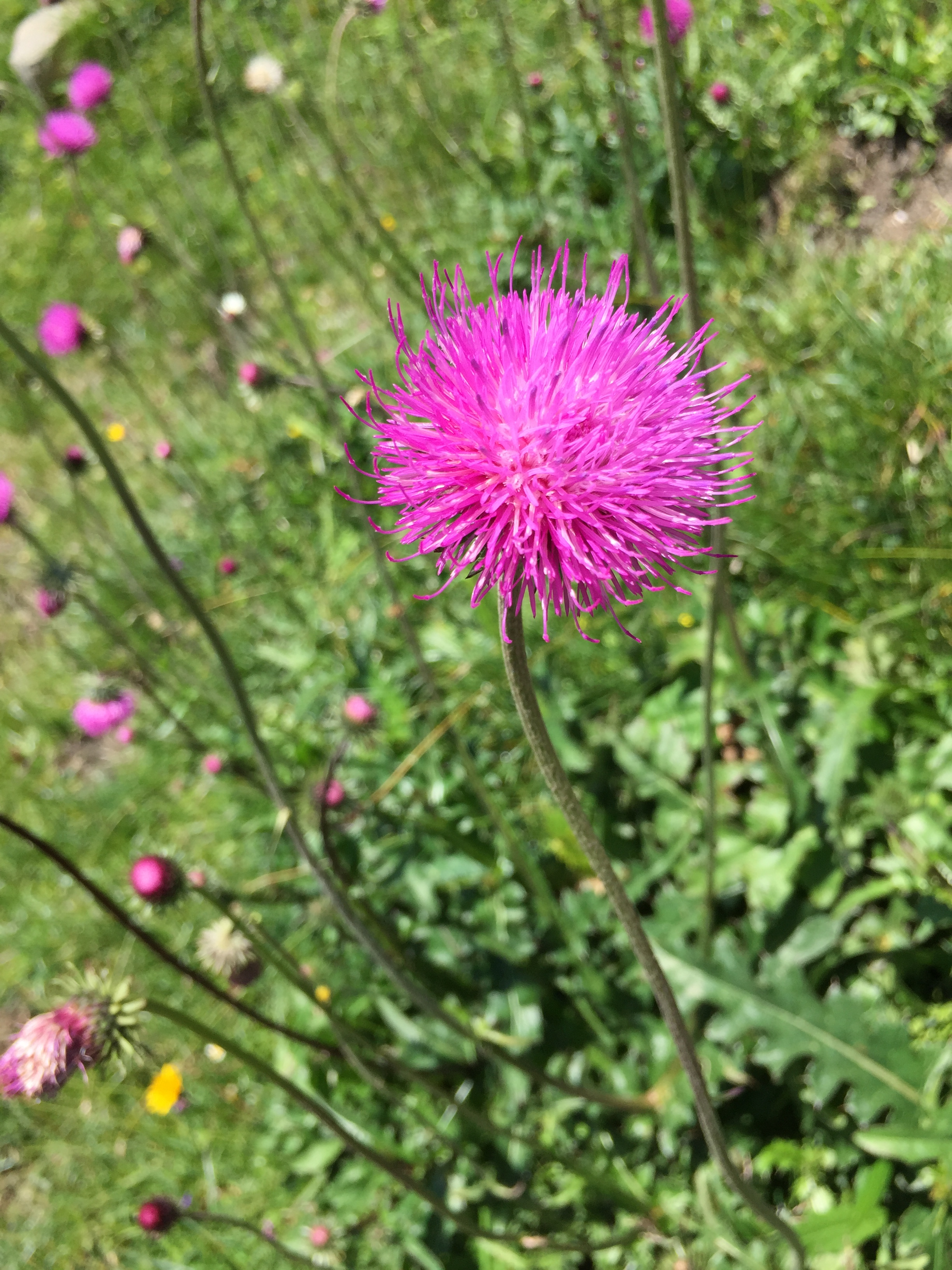
Alpine Flora
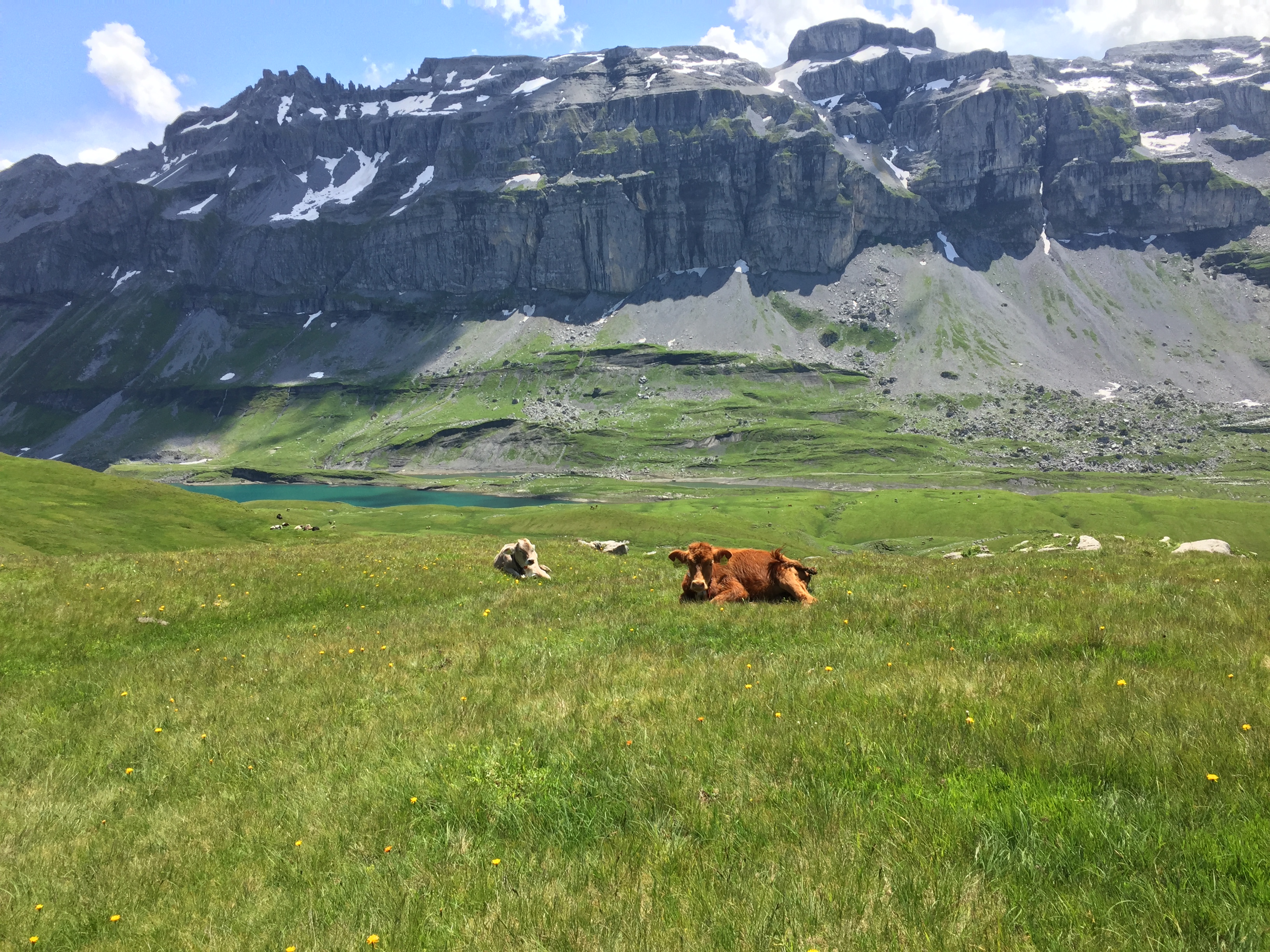
And yet another species:
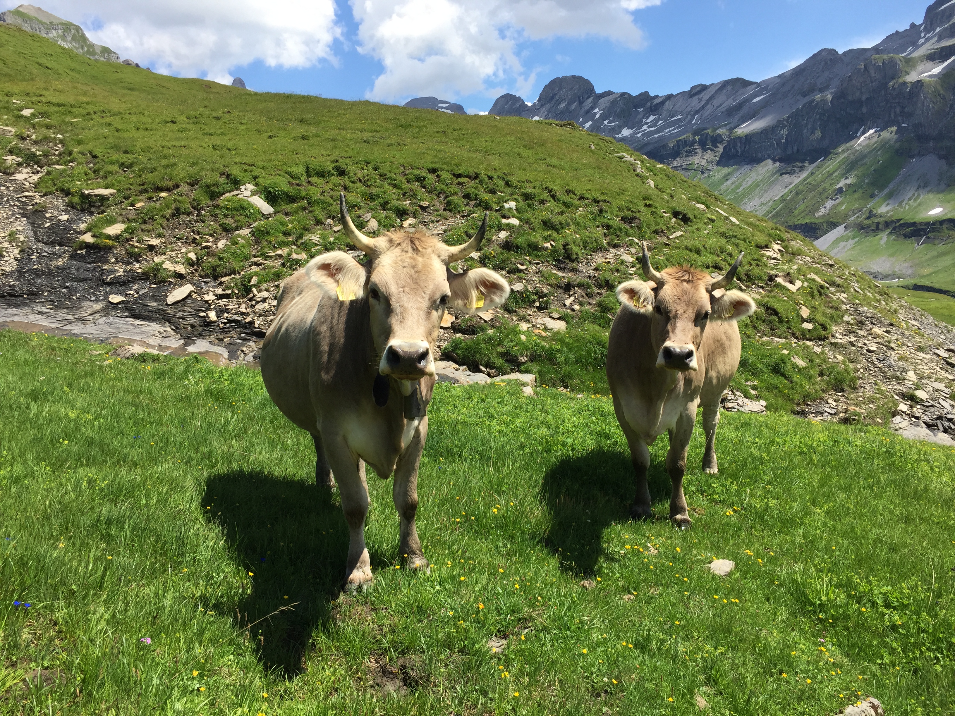
Kühe auf Glattalp
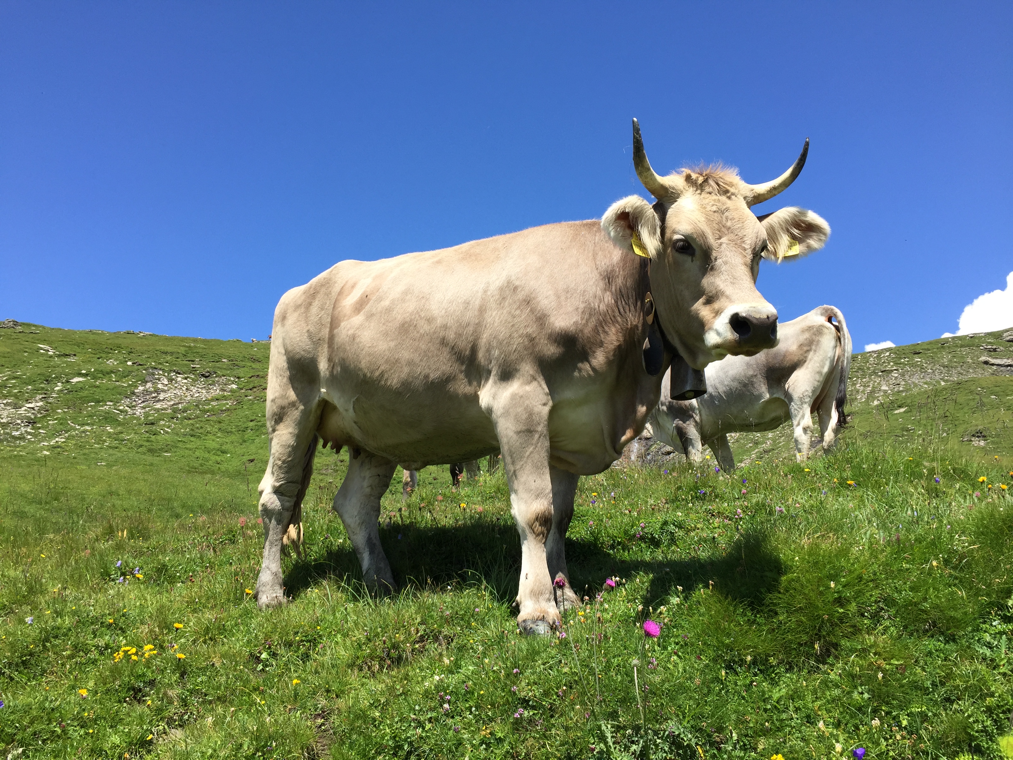
Kühe auf Glattalp
These hiking companions always wanted to know what’s going on:
Approaching the lake, yet another species:
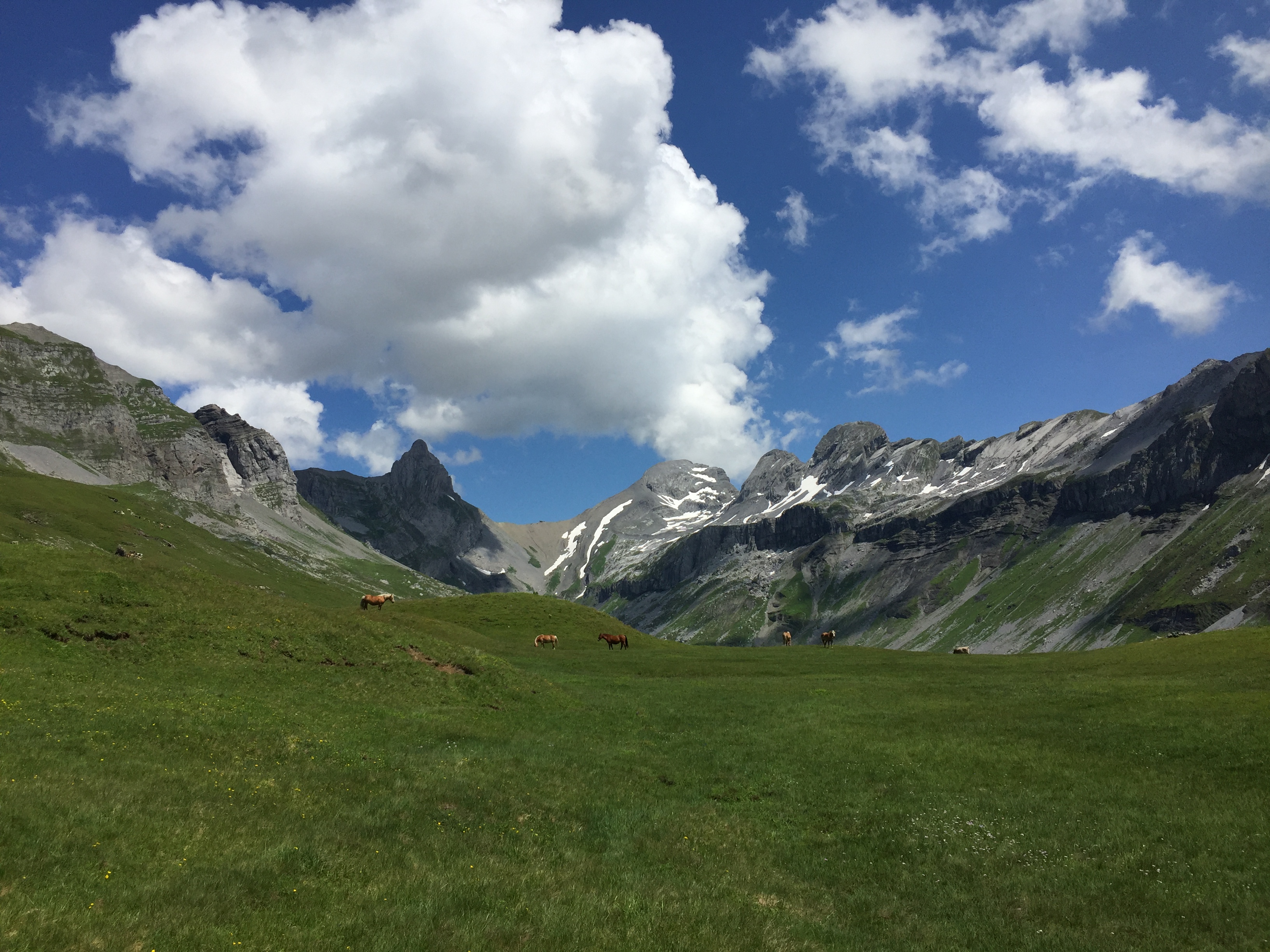
Pferde auf Glattalp
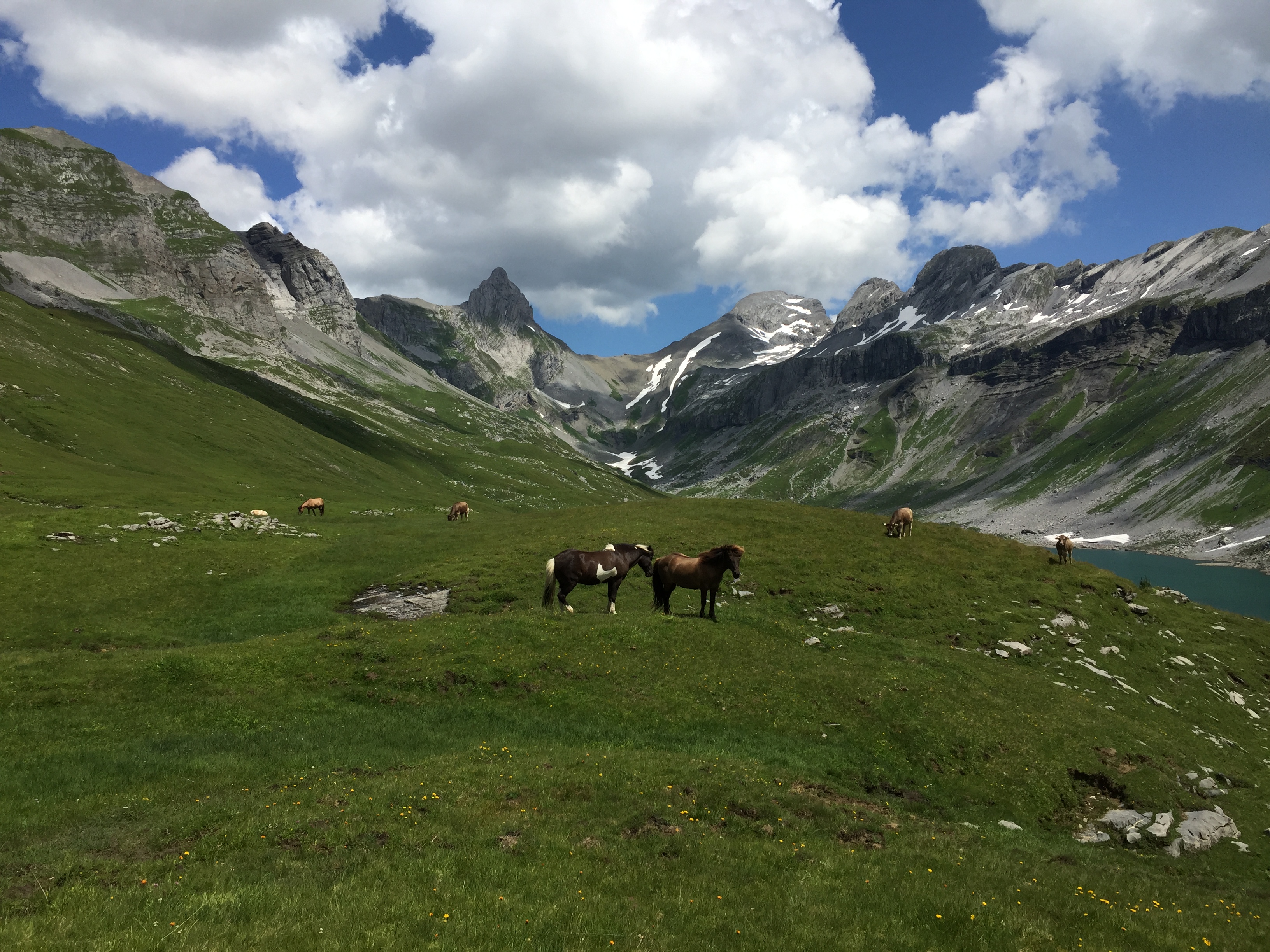
Pferde auf Glattalp
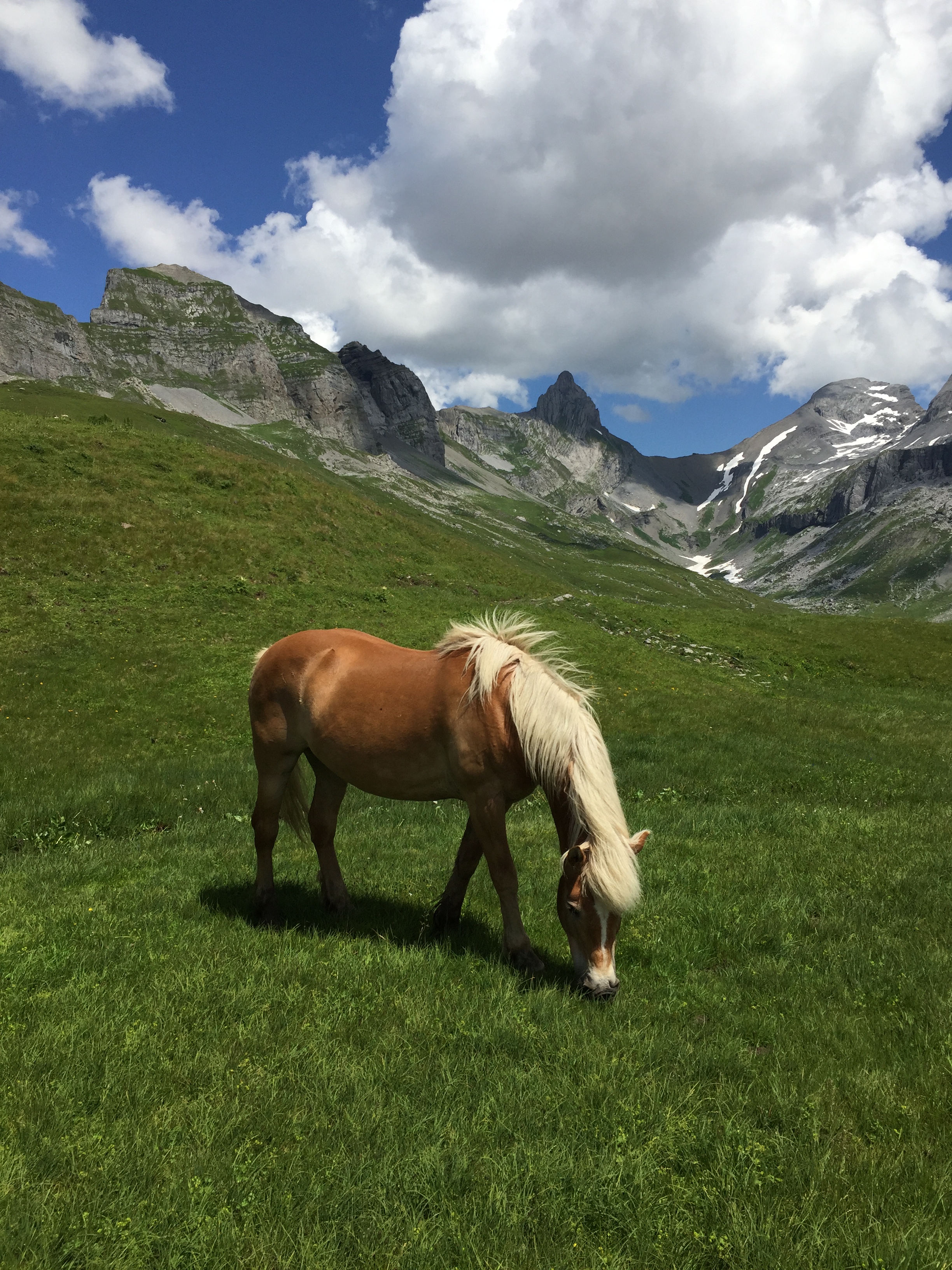
Pferde auf Glattalp
In a peaceful coexistence as it seems:
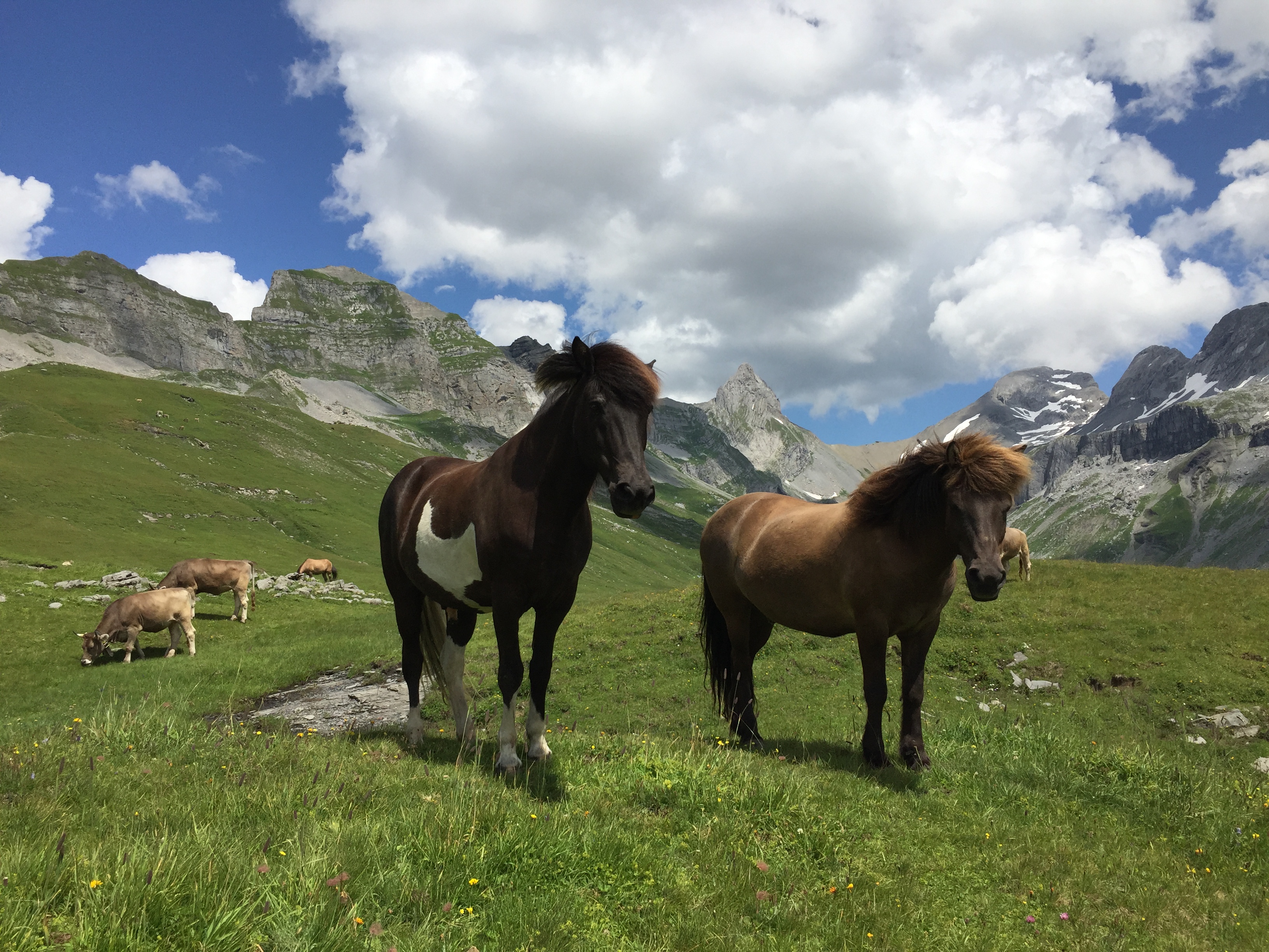
Ross und Kühe auf Glattalp
Approaching the lake:
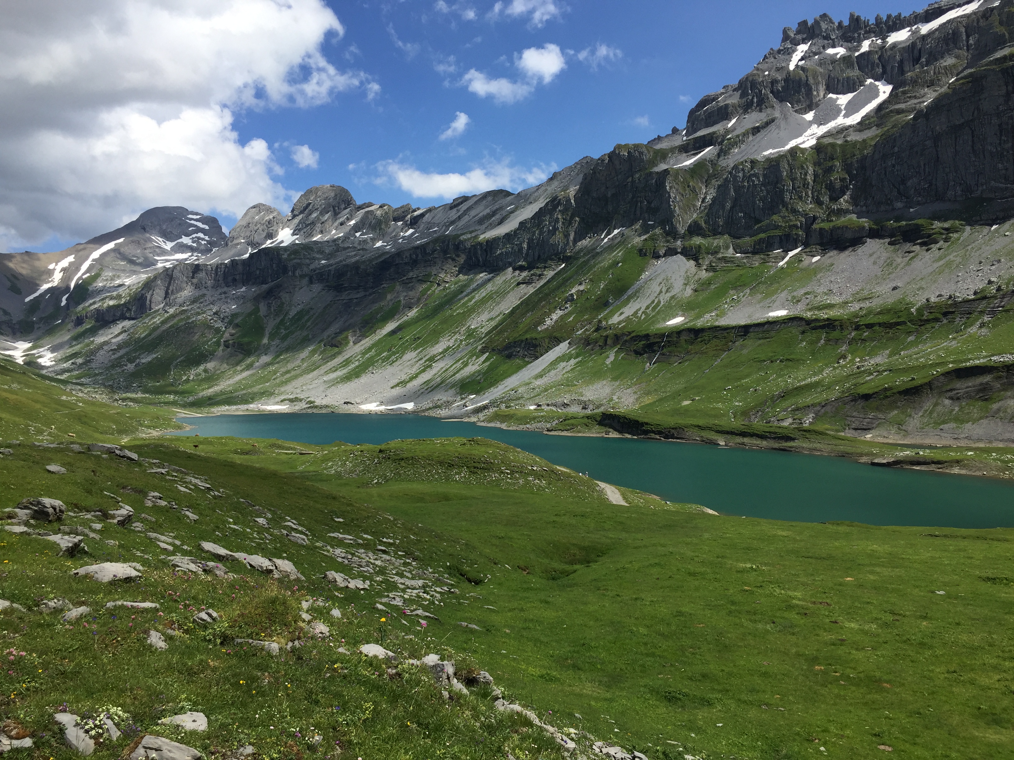
Glattalpsee
Faced another lake guardian:
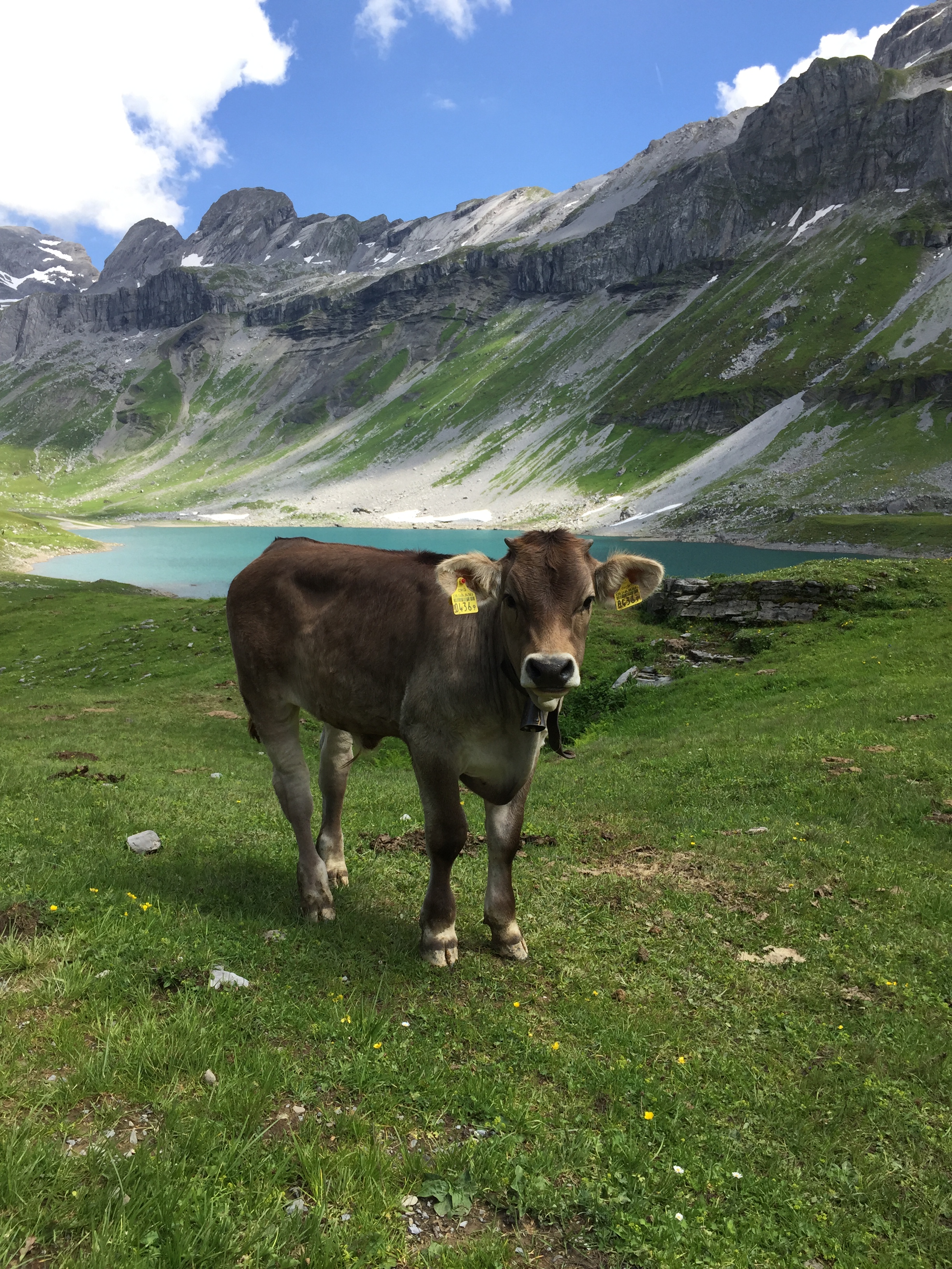
Kalb auf Glattalp
Followed the road on the north shore of the lake:
Road on the side of Glattalpsee
Crossing one of the creeks feeding the lake:
Bach auf Glattalp
At the end of the lake, yet another sign post which reminds us how high the snow in winter time is:
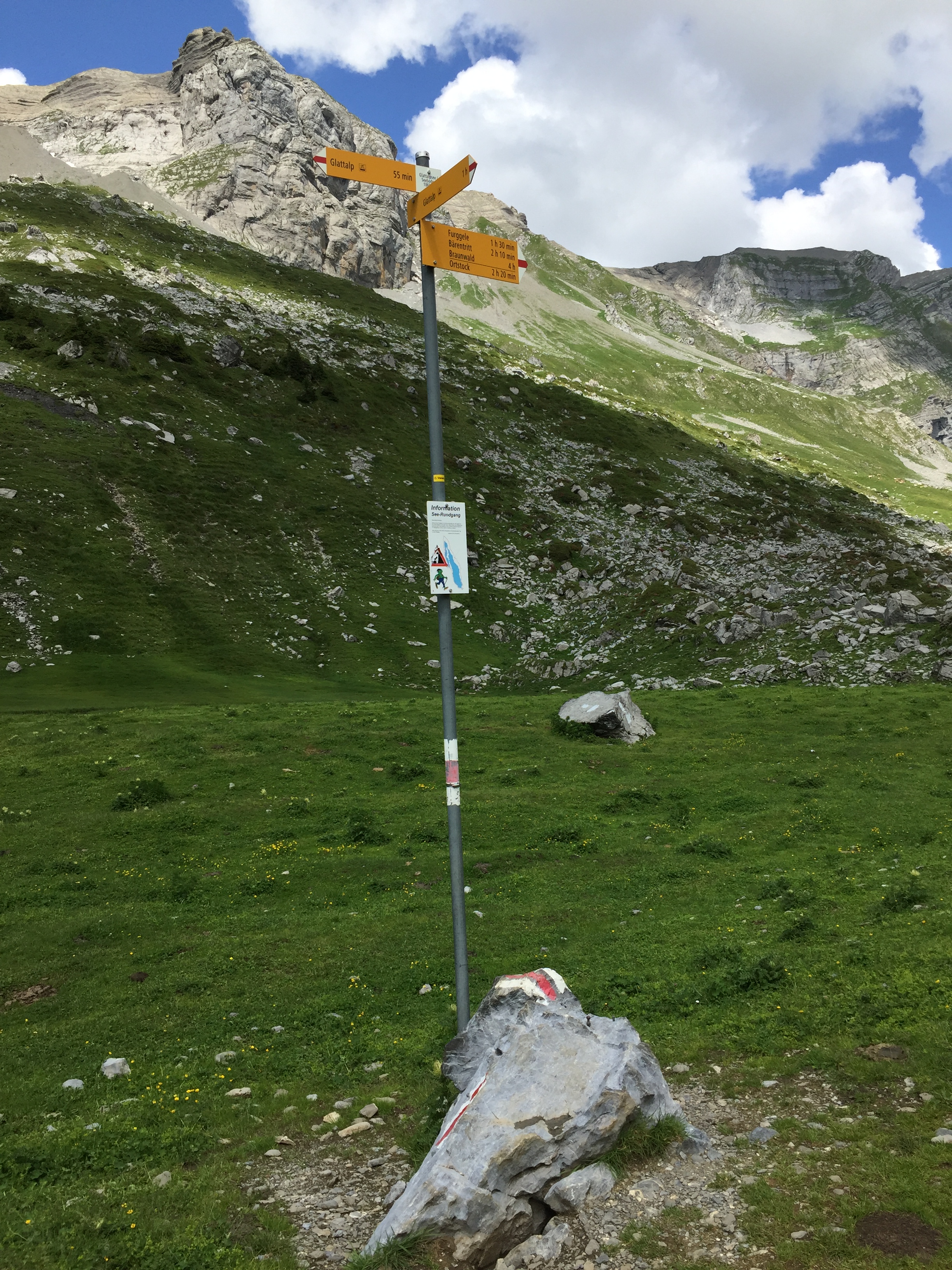
Sign Post at the End of Glattalpsee
Concrete tries to prevent water from draining into the Karst:
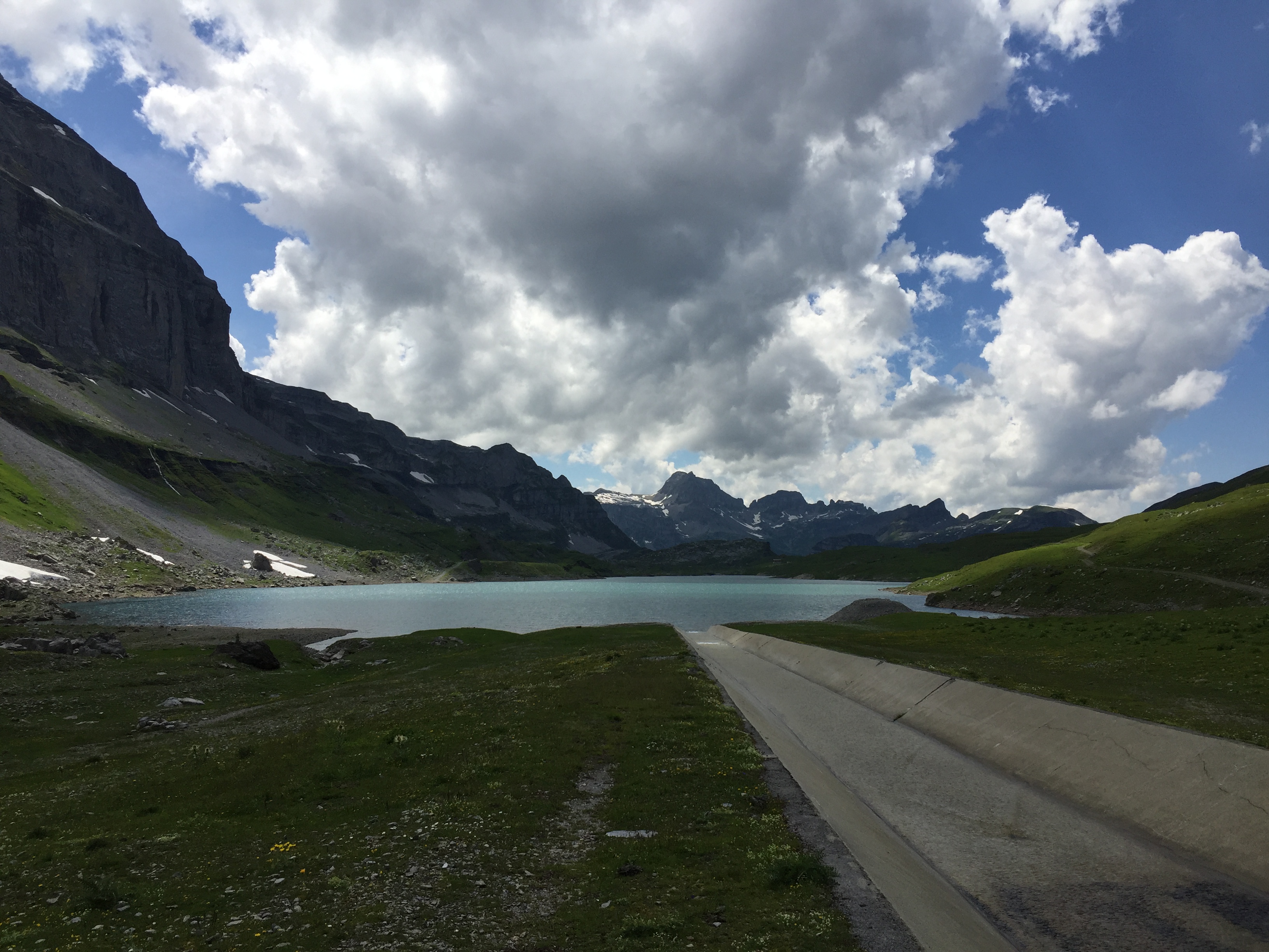
Betonkanal auf Glattalp
Stone guards again:
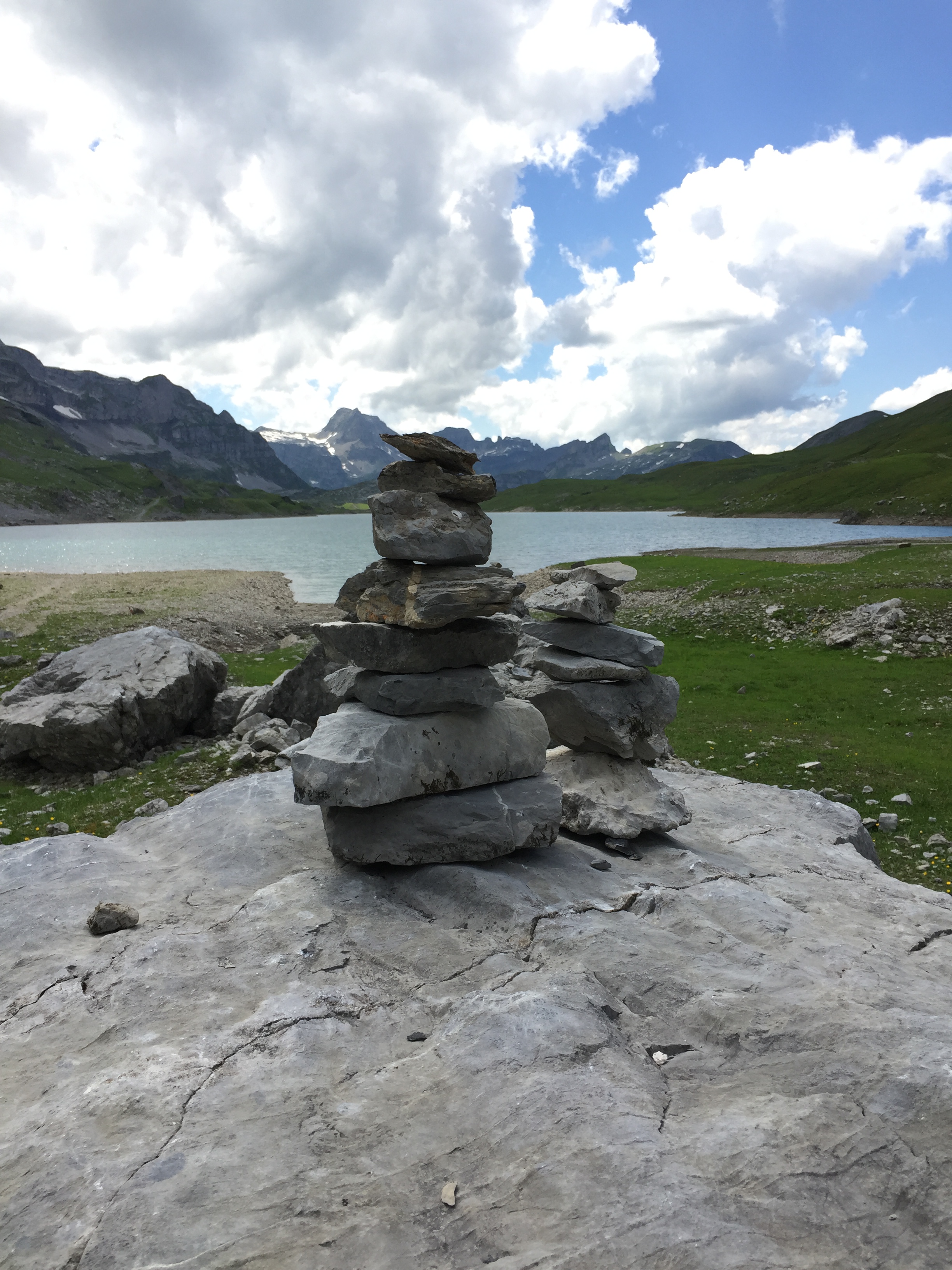
Steimanndli
On the other side of the lake we took the trail back to the gondola station.
View on the lake:
Glattalpsee
More flora:
Alpine Flora
Alpine Flora
Crossing what has been left from winter and avalanches:
crossing snow fields
crossing snow fields
Views around the lake:
Glattalpsee
Glattalpsee
Taking a bath would have been very refreshing I think:
Ice
More Fauna …
Frosch auf Glattalp
and Flora, featuring the Blue Enzian:
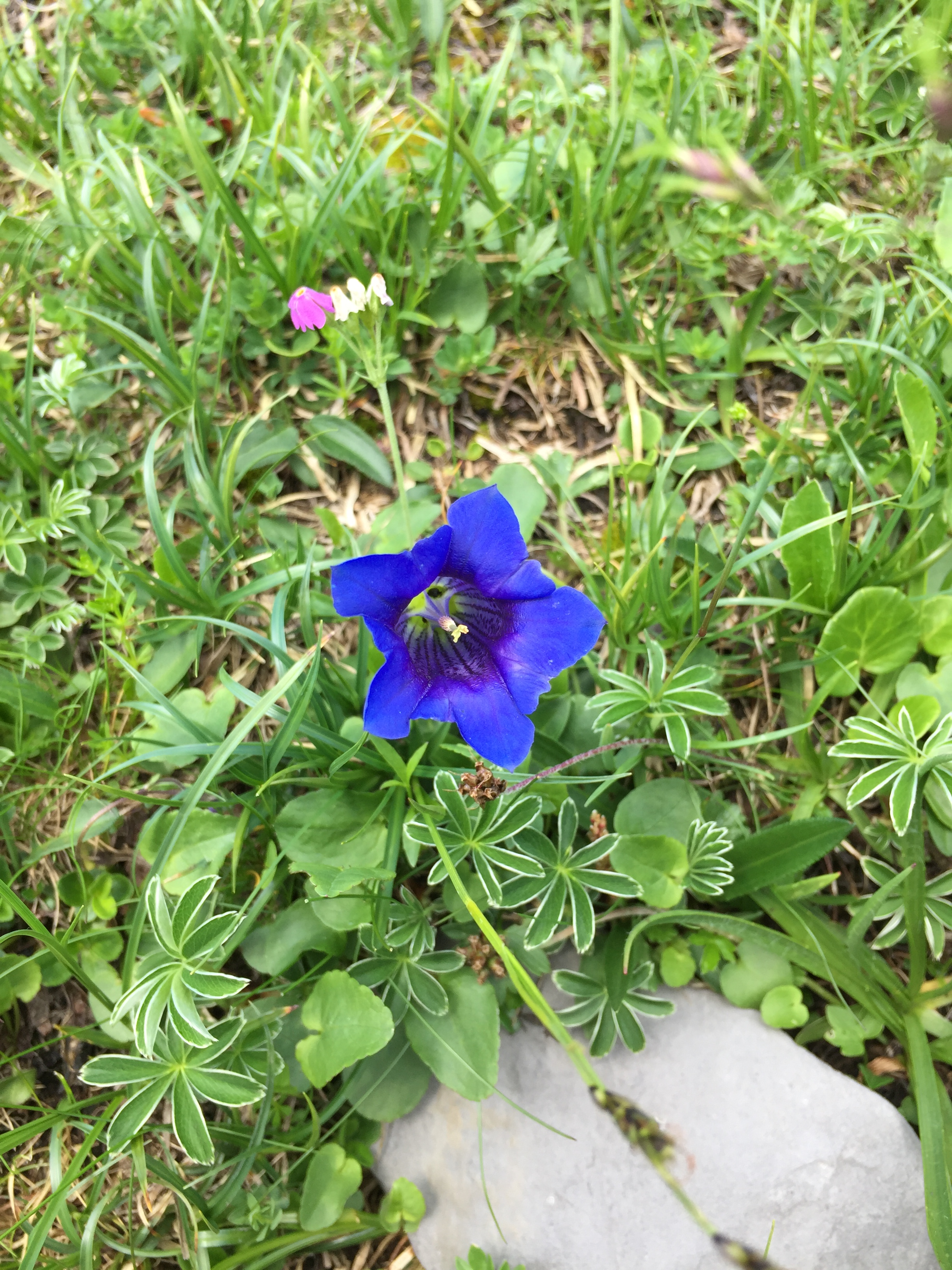
Enzian
Approaching the gondola station …
Wegweiser auf Glattalp
… and heading back down to the Sali, with a last view back to the Glattalp:
Glattalp Seilbahn Bergstation
Of course we could have taken the hiking trail down to Sali too:
Bergpfad auf Glattalp
But taking the Gondola was much faster and more convenient :-).
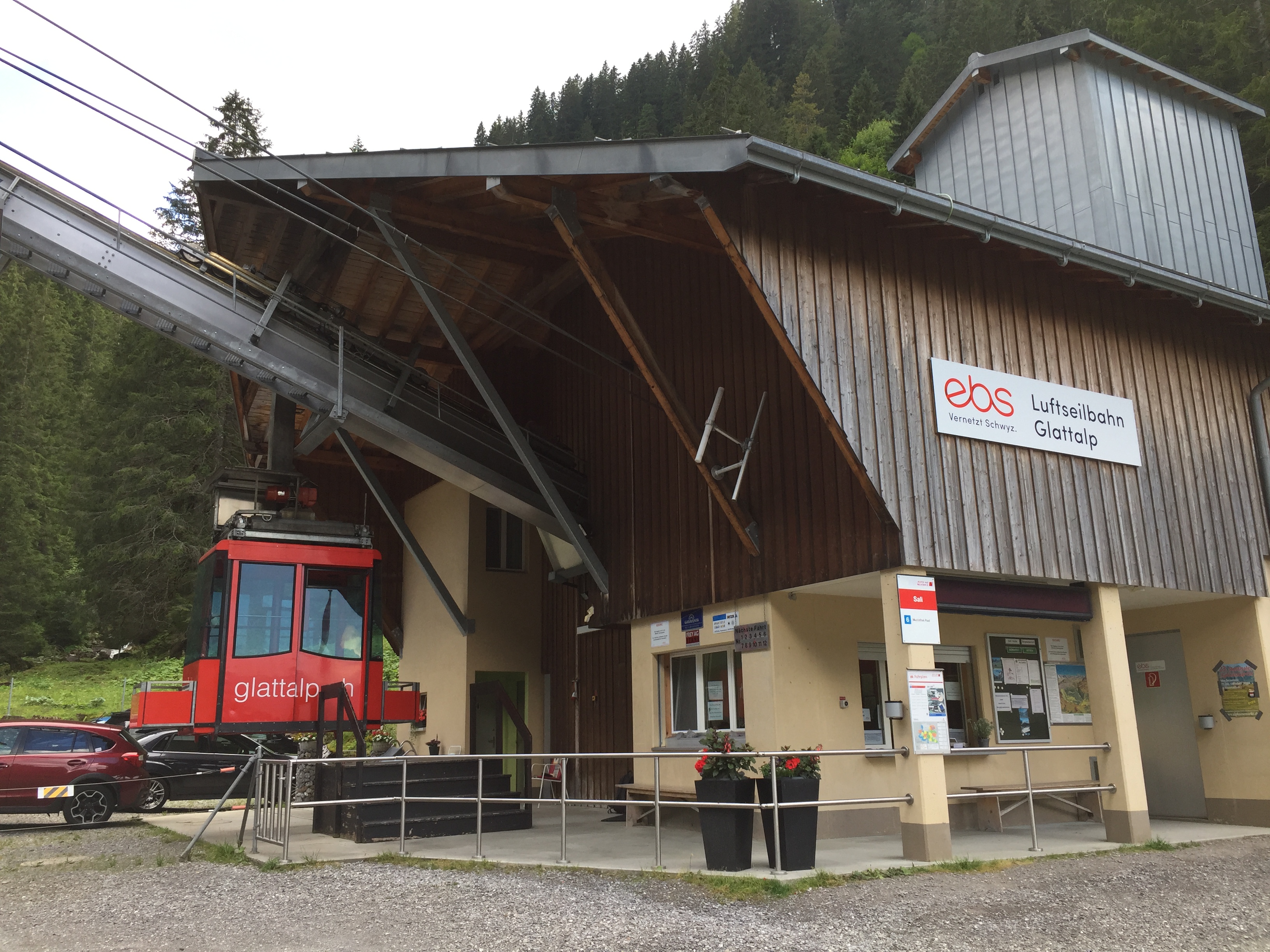
Glattalpbahn Talstation
That was a beautiful summer mountain hike, and I hope you enjoyed the ride (or the pictures).
Happy Glattalping 🙂
Links
- Luftseilbahn EBS Glattalp: https://ebs.swiss/glattalp/
- Glattalp SAC Hütte: http://www.glattalphuette.ch

Erich, just a fantastic set of photos. Wishing I could get back to Europe again.
LikeLike
Thanks. There are many wonderful places in the world….
LikeLike
Great stuff! Thanks!
LikeLike
Heading to Scotland in a few weeks. Hope to do some hiking including Ben Nevis.
LikeLike
Scotland must be a beautiful place too, it is on my list to go for a very long time. Enjoy your hiking trips!
LikeLike
Pingback: Hiking around Waldisee and Salisee | MCU on Eclipse