
With a heat wave rolling over Europe, a hike these days needs some careful planning. With outside temperatures in the 36-39°C range, I prefer something inside a forest. And for this, the hike around the Fallenflue was perfect.
Fallenflue Chänzeli
The hike is on the rim of the ‘Fallenflue’. I’m not sure the exact origin of the name, but ‘Fallen’ can mean ‘Traps’ or ‘falling’. And ‘Flue’ means an outer edge or rim of a mountain. So maybe this indeed means ‘a rim where you can fall down’ or ‘a rim where they were hunting with some traps.
The map below shows the details:
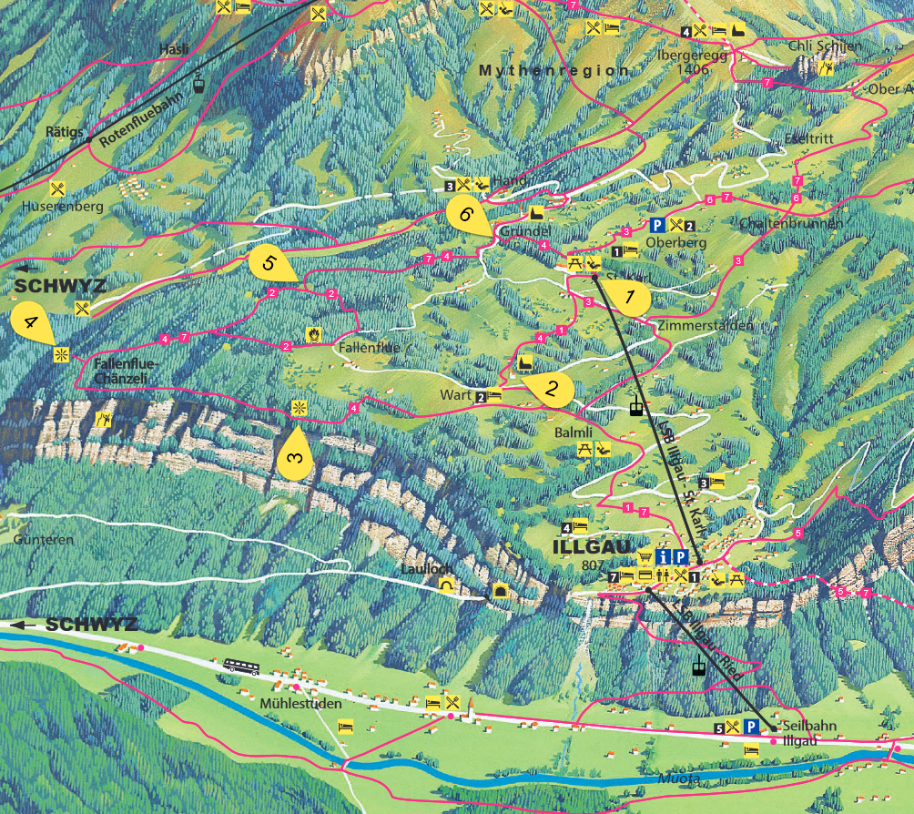
Hike around Fallenflue (adopted from http://www.seilbahn.illgau.ch)
- Start the cable car station St. Karl, featuring a big playground and barbecue area and
- Follow the ‘Chäferliweg’ down to Wart with the beautiful chapel
- Then follow the #4 to the look out down to the valley
- Proceed to the lookout at the Chänzeli
- At the intersection with the Bruder Klaus memorial, follow #7/#4 to Gründel and return to the starting point
Duration: around 3.5 hours. Most of the trails are inside the forest, so perfect for a hot summer day. The trail is very beautiful and pictures can hardly capture this.
Starting point at the cable station of Illgau-St.Karl:
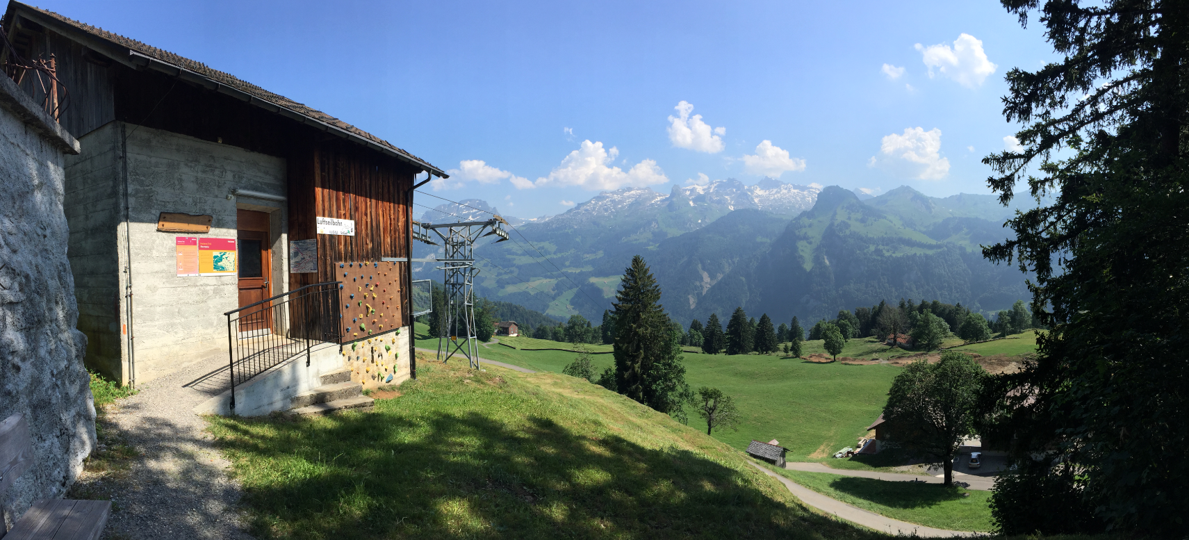
Luftseilbahn Illgau St. Karl
Following the ‘Chäferli’ (Ladybug) hiking trail signs:
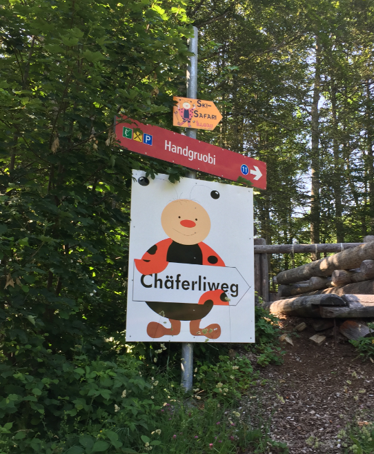
Chäferliweg
The Ladybugs are a good guidance:
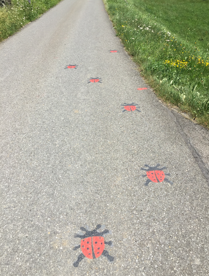
Guiding Chäferli
And they are hiding in the trees too:

Felix
Old tree on a rock:

old tree
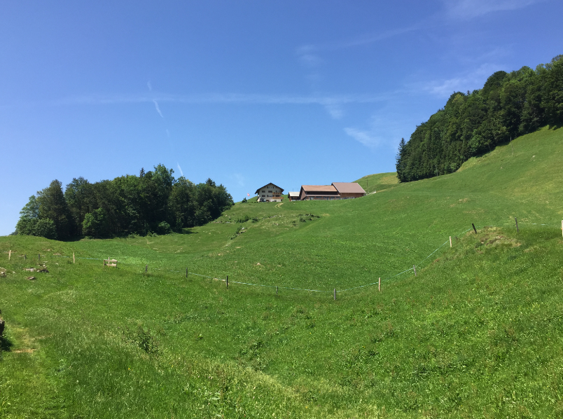
The small chapel at Wart:
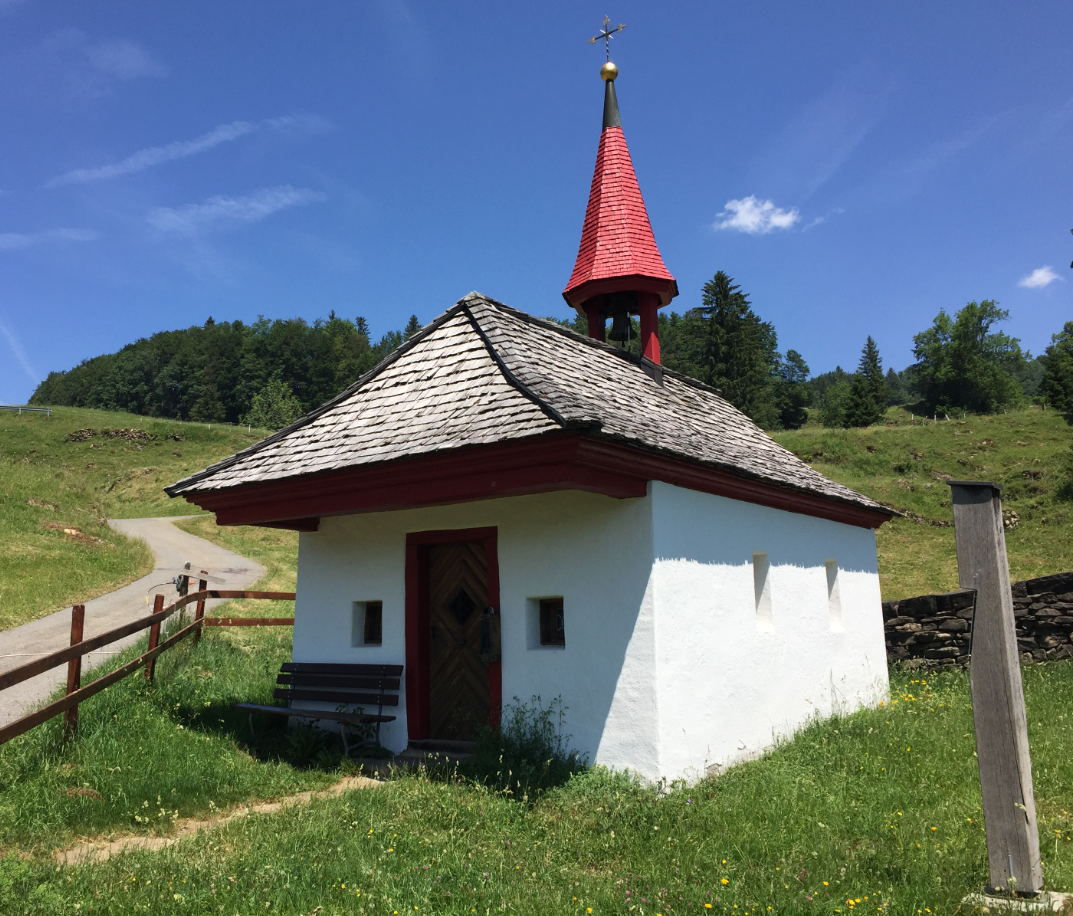
Kapelle Wart
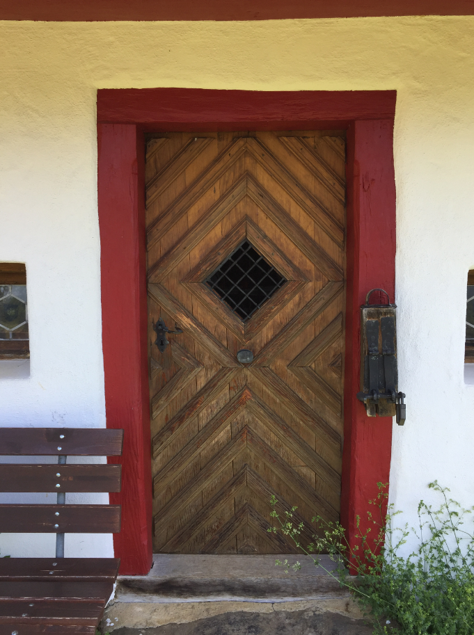
Door Wart Chapel
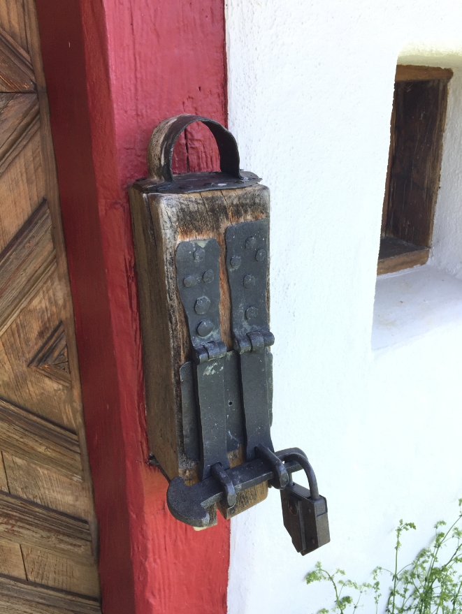
Kässeli
Following the trail through Wart:
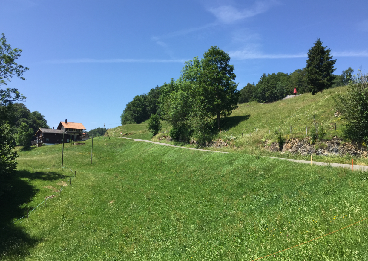
Wart
Wartberg
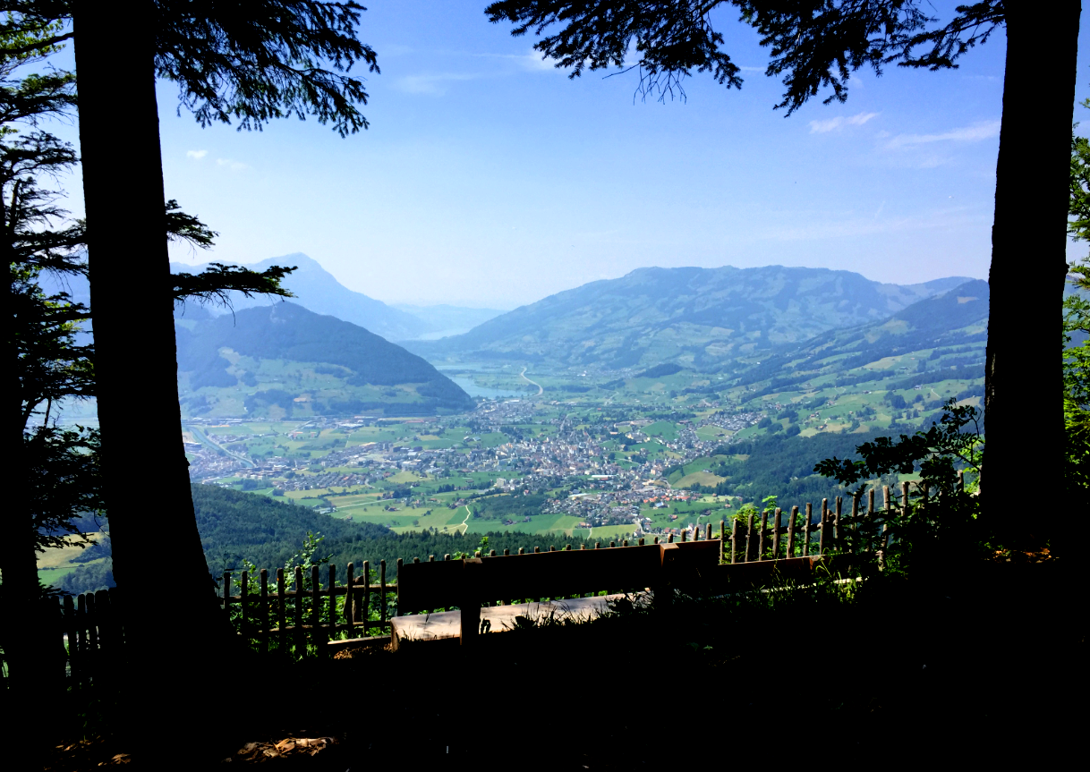
Lookout on the Rim down to the Muotathal valley:
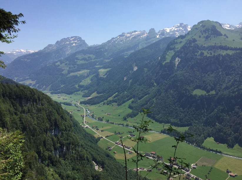
Lookout
View to the valley Muotathal (click to enlarge)
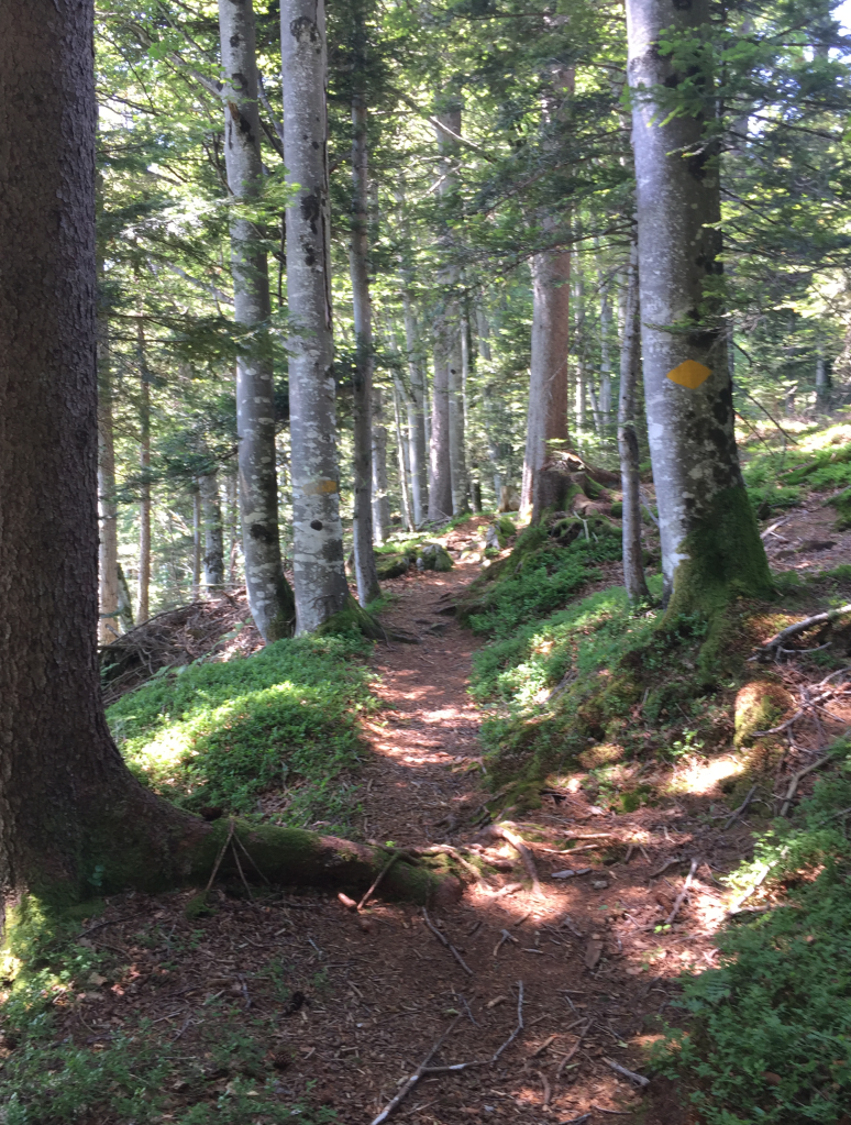
Forest Trail
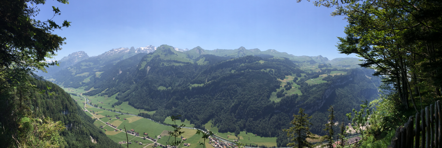
The highlight of this hike is the view from the ‘Chänzeli’. The arrow below shows the location:
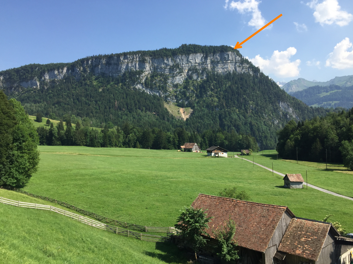
Chänzeli Location
The air had a lot of humidity, but still it is a stunning view:
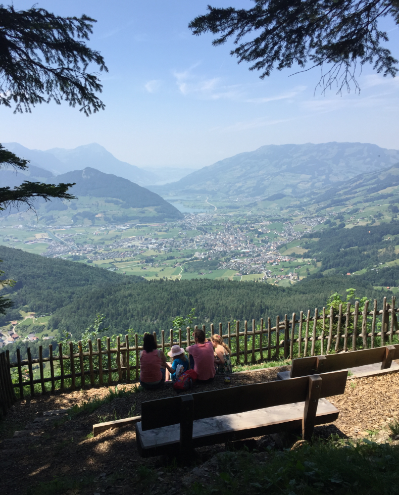
Chänzeli
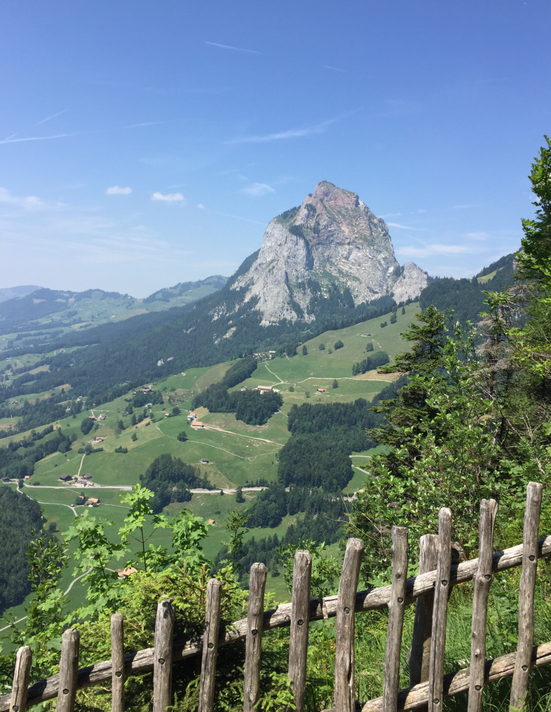
Mythen
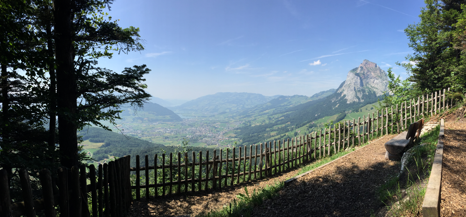
View from the Chänzeli
At the intersection to trail #7 a Bruder Klaus Memorial.
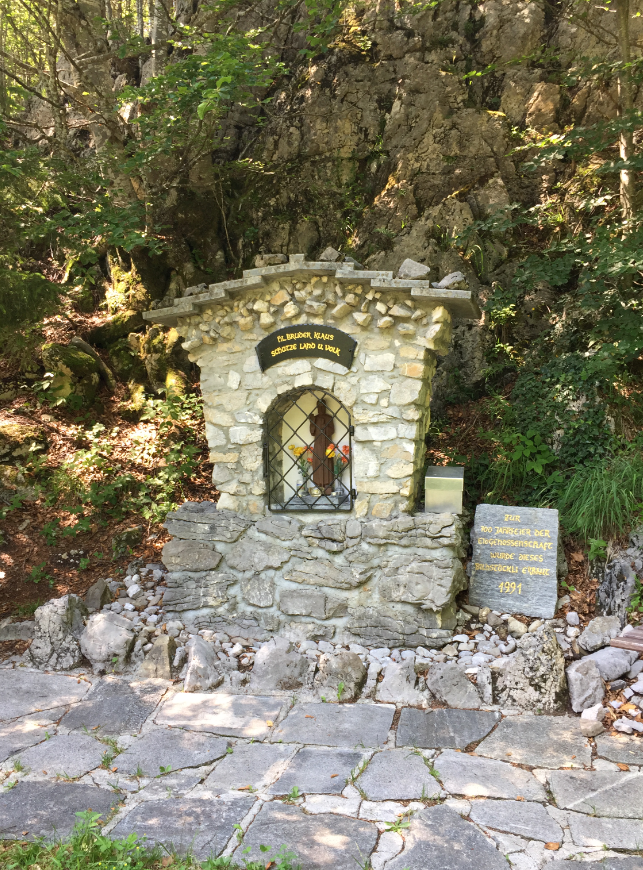
1991

Tree forest road
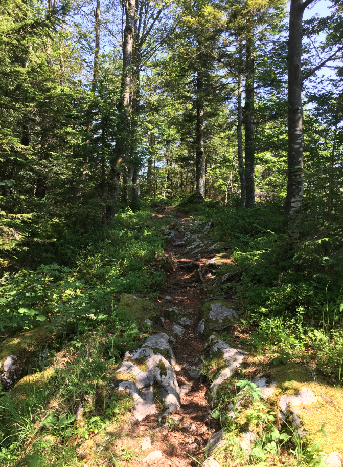
Hiking Karst Forest
The last piece, going up:
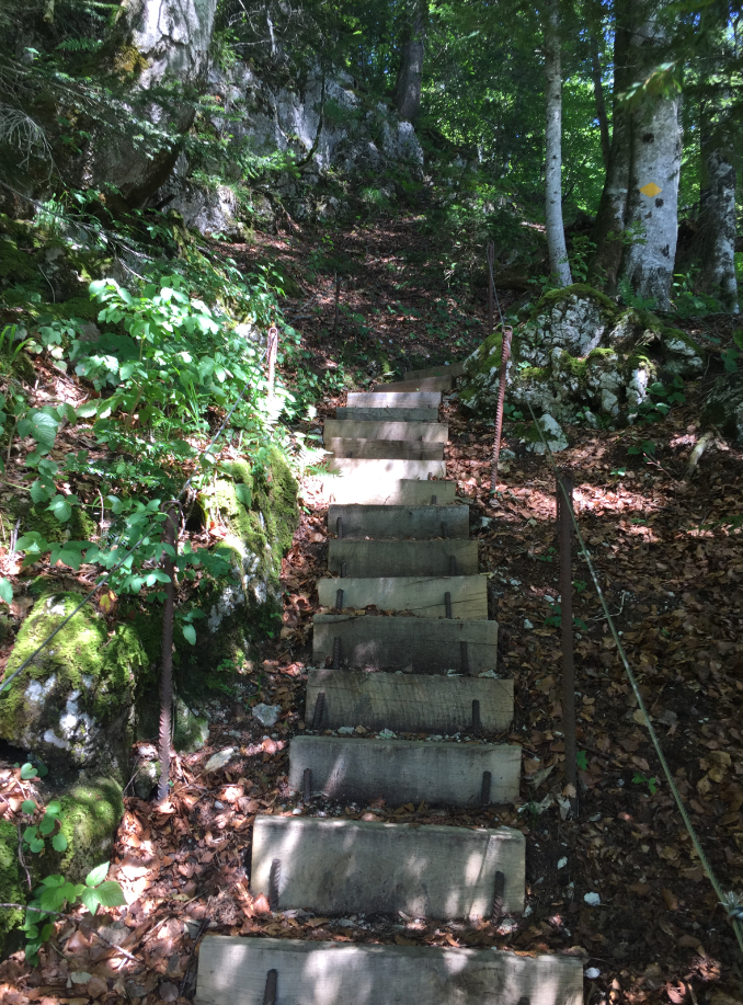
Stairs on the trail
Returning back at the starting point:
Luftseilbahn Illgau St. Karl
Happy Flueing:-)
Links
- Cable car Illgau-St. Karl: http://www.seilbahn.illgau.ch
- Illgau: https://en.wikipedia.org/wiki/Illgau
- Chäferliweg: http://www.seilbahn.illgau.ch/chaeferliweg.html#chaeferliweg
- Muotathal: https://en.wikipedia.org/wiki/Muotathal
